MyTopo
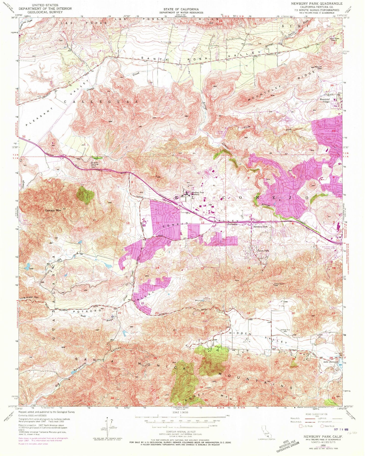
Classic USGS Newbury Park California 7.5'x7.5' Topo Map
Couldn't load pickup availability
Historical USGS topographic quad map of Newbury Park in the state of California. Typical map scale is 1:24,000, but may vary for certain years, if available. Print size: 24" x 27"
This quadrangle is in the following counties: Ventura.
The map contains contour lines, roads, rivers, towns, and lakes. Printed on high-quality waterproof paper with UV fade-resistant inks, and shipped rolled.
Contains the following named places: Arroyo Conejo, Arroyo Santa Rosa, Calleguas, Camarillo Oak Grove County Park, Conejo Mountain, Conejo Valley, El Conejo, Hidden Valley, Newbury Park Academy, North Fork Arroyo Conejo, Potrero Valley, Santa Rosa Elementary School, Santa Rosa Valley, South Branch Arroyo Conejo, Conejo Valley High School, Ven-Tu Park, Mount Clef, Mountclef Ridge, Mountclef Village, Twi Ii Heliport, R I Science Center Helistop, Los Robles Regional Medical Center Heliport, Los Robles Greens Country Club, Newbury Park, KCLU-FM (Thousand Oaks), KNJO-FM (Thousand Oaks), Casa Conejo, Arroyo Conejo Open Space, Aspen Elementary School, Banyan Elementary School, Banyan Park, Bethany Christian School, Borchard Community Center, Borchard Community Park, Camarillo Springs Golf Course, Casa Conejo Plaza Shopping Center, Christ the King Lutheran Church, Conejo Adventist Elementary School, Conejo Valley Church of the Nazarene, Cypress Elementary School, Cypress Park, Encanto Park, Evangelical Free Church of the Conejo Valley, Ventura County Fire Protection District Station 52, First Christian Church of Newbury Park, Fort Wildwood Park, Heritage Park, Hickory Park, Hill Canyon Treatment Plant, King of Glory Lutheran Church, Las Colinas Elementary School, Leisure Village, Leisure Village Golf Course, Los Robles Regional Medical Center, Los Robles Regional Medical Center Medical Staff Library, Lucky and Longs Shopping Center, Madrona Elementary School, Manzanita Elementary School, Maple Elementary School, Mission Oaks Community Park, Mission Oaks Plaza Shopping Center, Mission Verde Park, Newbury Park High School, Newbury Park Library, Newbury Square Shopping Center, Peppertree Playfield, Potrero Open Space, Quito Park, Rancho Conejo Open Space, Redwood Intermediate School, Santa Rosa Plaza Shopping Center, Sequoia Intermediate School, Seventh Day Adventist Church, Suburbia Park, Trailside Park, Ventura Estates Academy, Walnut Elementary School, Wendy Park, Wildflower Playfield, Wildwood Elementary School, Wildwood Regional Park, California Lutheran University - Thousand Oaks Campus, Acacia Elementary School, Arts Council Center, Cameron Center, The Church of Jesus Christ of Latter Day Saints, Church of the Oaks, Conejo Community Park, Conejo Valley Botanic Gardens, Conejo Valley Community Center, Conejo Valley Post Office, Conejo Valley Trailer Park, El Cid Plaza Shopping Center, Hope Nature Preserve, Janss Mall Shopping Center, Jeffries Center Shopping Center, Kingdom Hall of Jehovahs Witnesses, La Reina High School, Los Robles Open Space, Lynnoaks Park, Newbury Park Post Office, Newbury Park Shopping Center, Redeemer Lutheran Church, Rockwell International Science Center, Rockwell International Science Center Library, Stage Coach Inn Museum, Oaks Shopping Center, University Elementary School, Ventu Park, Walnut Grove Park, Rancho Conejo Airport (historical), Panther Stadium, Casa Conejo Census Designated Place, City of Thousand Oaks, Hidden Valley Census Designated Place, Lake Sherwood Census Designated Place, Santa Rosa Valley Census Designated Place, Balanced Rock, Echo Cliffs, Mishe Mokwa Trail, Ventura County Fire Department Station 32, Ventura County Fire Protection District Station 33 - Lake Sherwood, Ventura County Fire Department Station 35, Ventura County Fire Protection District Station 30 Civic Center


