
MyTopo
Classic USGS Newdale Idaho 7.5'x7.5' Topo Map
Regular price
$16.95
Regular price
Sale price
$16.95
Unit price
per
Couldn't load pickup availability
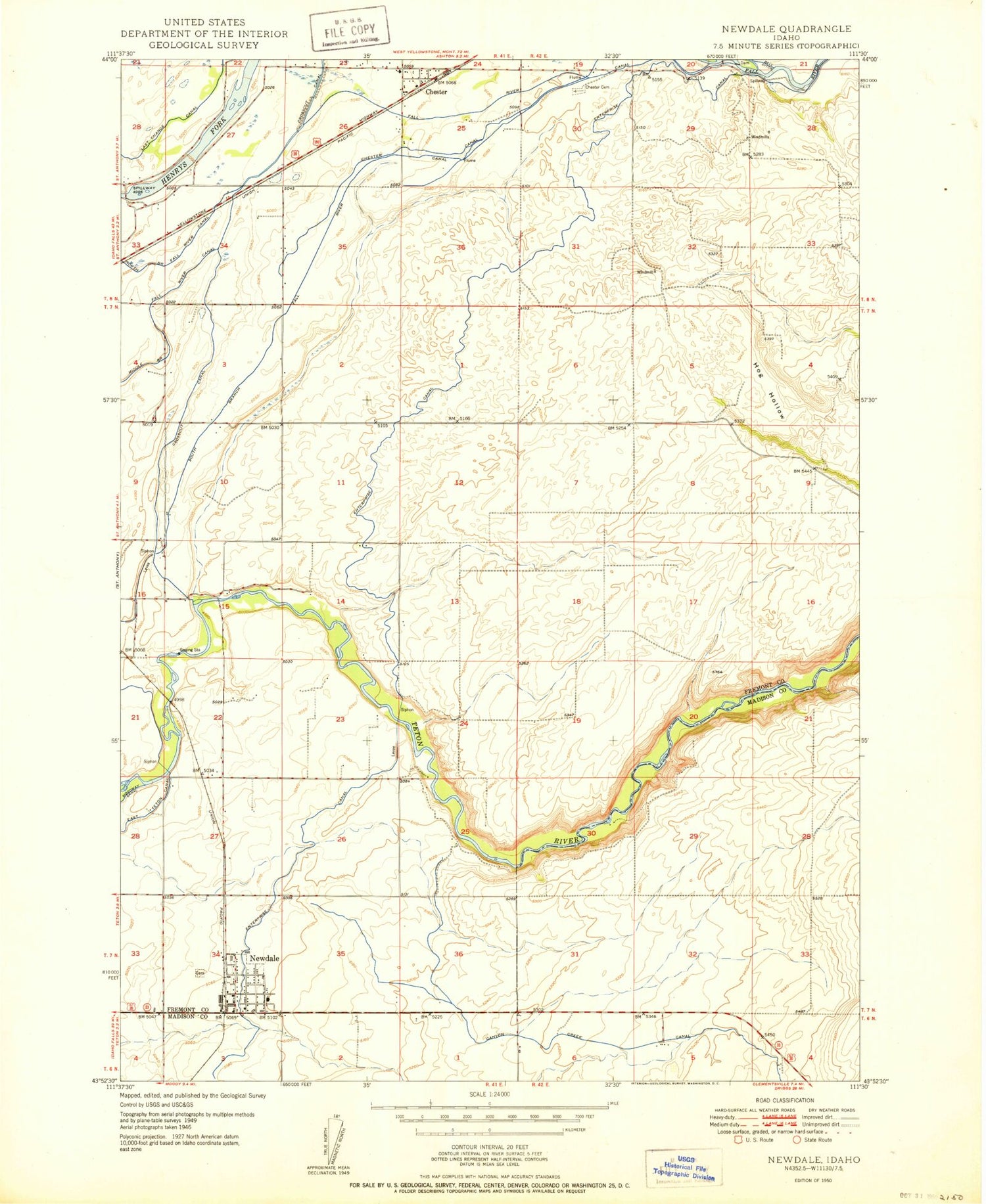
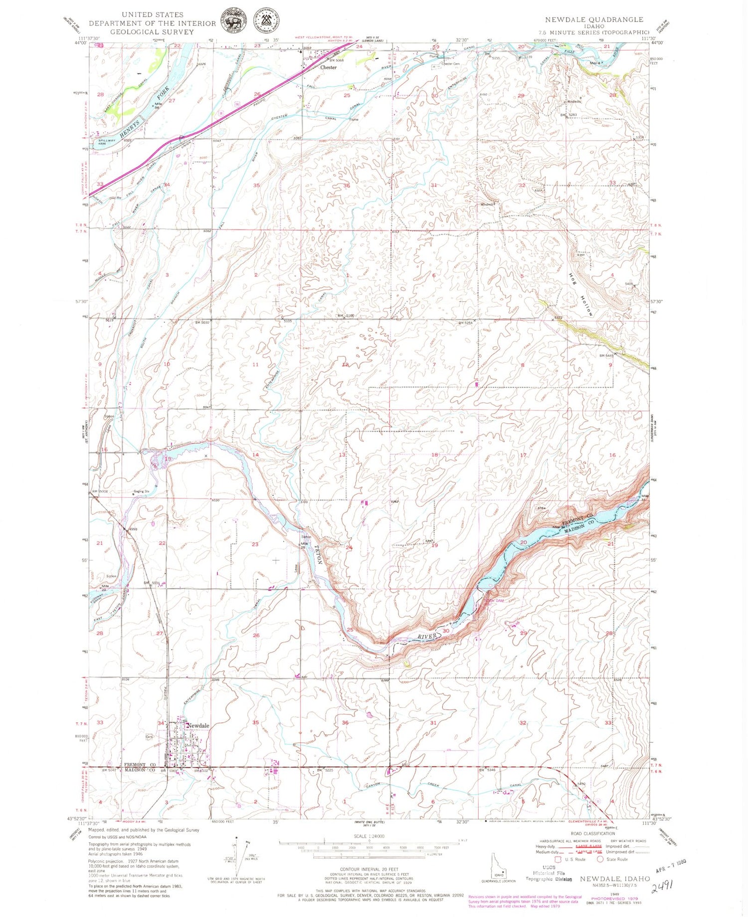
Historical USGS topographic quad map of Newdale in the state of Idaho. Map scale may vary for some years, but is generally around 1:24,000. Print size is approximately 24" x 27"
This quadrangle is in the following counties: Fremont, Madison.
The map contains contour lines, roads, rivers, towns, and lakes. Printed on high-quality waterproof paper with UV fade-resistant inks, and shipped rolled.
Contains the following named places: Bowman Field, Chester, Chester Canal, Chester Cemetery and 800 North, Chester Post Office, City of Newdale, Crosscut Canal, Fall River Canal, Hog Hollow, Newdale, Newdale Post Office, North Branch Fall River Canal, South Branch Fall River Canal, Teton Dam, Teton-Newdale Division


