MyTopo
Classic USGS Newell East Iowa 7.5'x7.5' Topo Map
Couldn't load pickup availability
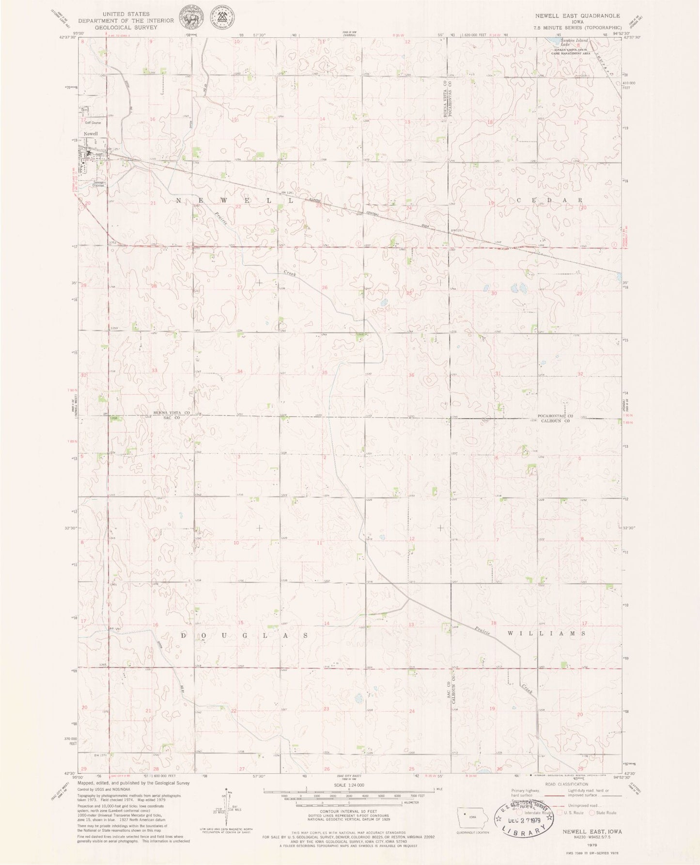
Historical USGS topographic quad map of Newell East in the state of Iowa. Map scale may vary for some years, but is generally around 1:24,000. Print size is approximately 24" x 27"
This quadrangle is in the following counties: Buena Vista, Calhoun, Pocahontas, Sac.
The map contains contour lines, roads, rivers, towns, and lakes. Printed on high-quality waterproof paper with UV fade-resistant inks, and shipped rolled.
Contains the following named places: Cooke Cemetery, Cora, Drainage Ditch Number 1, Drainage Ditch Number 20, Drainage Ditch Number 81, First Congregational Church, First M E Church Cemetery, Lard Lake, Newell - Fonda Community Schools, Newell - Fonda Elementary School, Newell - Fonda High School, Newell Cemetery, Newell Golf Course, Pocahontas County Waterfowl Production Area, Saint Peters Lutheran Church, Township of Douglas, Township of Newell, United Methodist Church