MyTopo
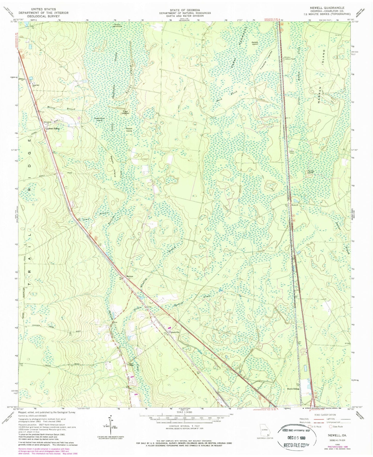
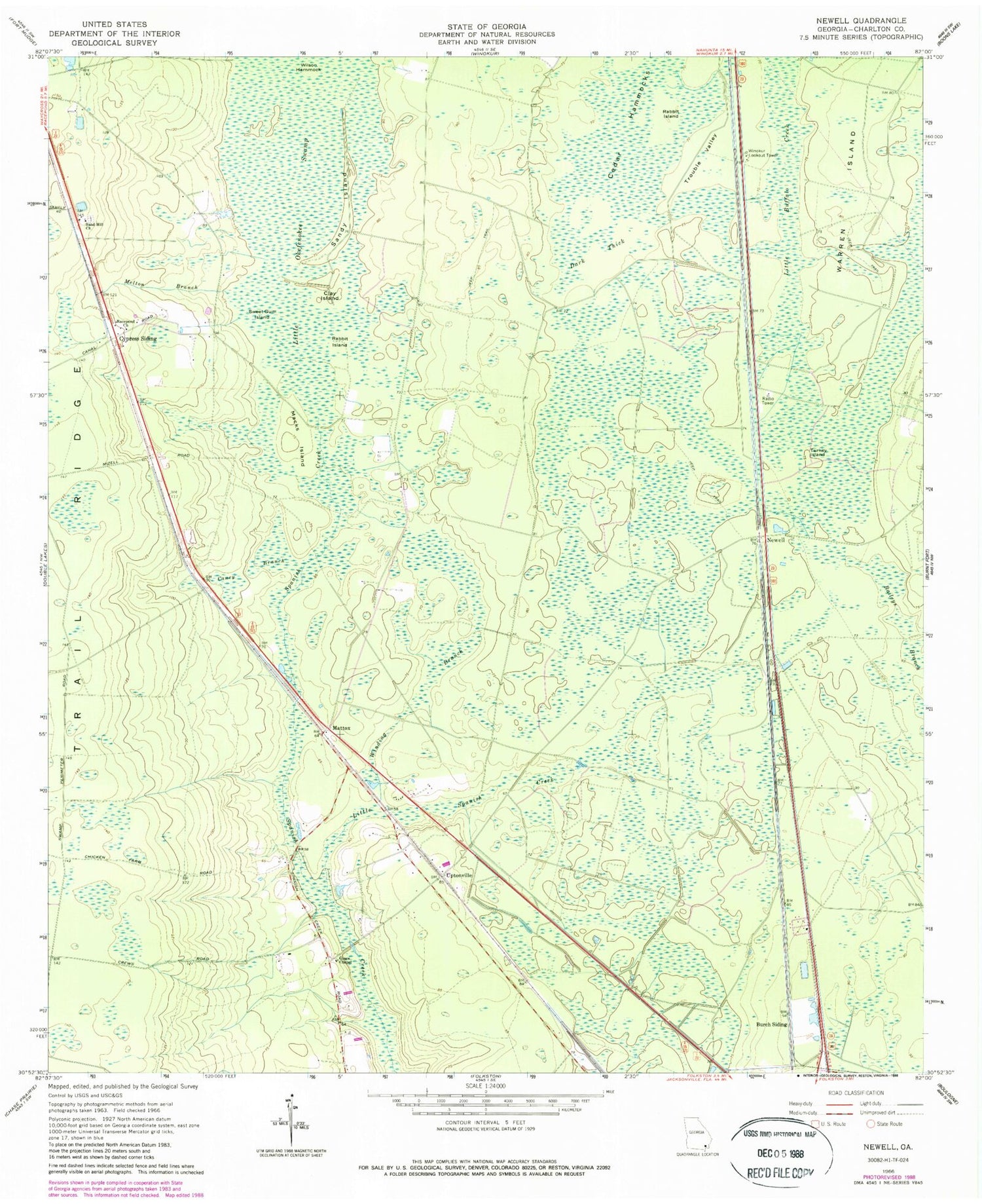
Classic USGS Newell Georgia 7.5'x7.5' Topo Map
Couldn't load pickup availability
Historical USGS topographic quad map of Newell in the state of Georgia. Map scale may vary for some years, but is generally around 1:24,000. Print size is approximately 24" x 27"
This quadrangle is in the following counties: Charlton.
The map contains contour lines, roads, rivers, towns, and lakes. Printed on high-quality waterproof paper with UV fade-resistant inks, and shipped rolled.
Contains the following named places: Burch Siding, Caney Branch, Cedar Hammocks, Charlton County Fire Department Station 3, Clay Island, Cypress Siding, Dark Thick, Grace Chapel, Little Spanish Creek, Macks Island, Mattox, Mays Bluff Branch, Melton Branch, Newell, Petersons, Petty School, Rabbit Island, Racepond Church, Sand Hill Cemetery, Sand Hill Church, Sandy Island, Sweet Gum Island, Trouble Valley, Turkey Island, Uptonville, Warren Island, Wilson Hammock, Winding Branch, Winokur Lookout Tower, ZIP Code: 31537