MyTopo
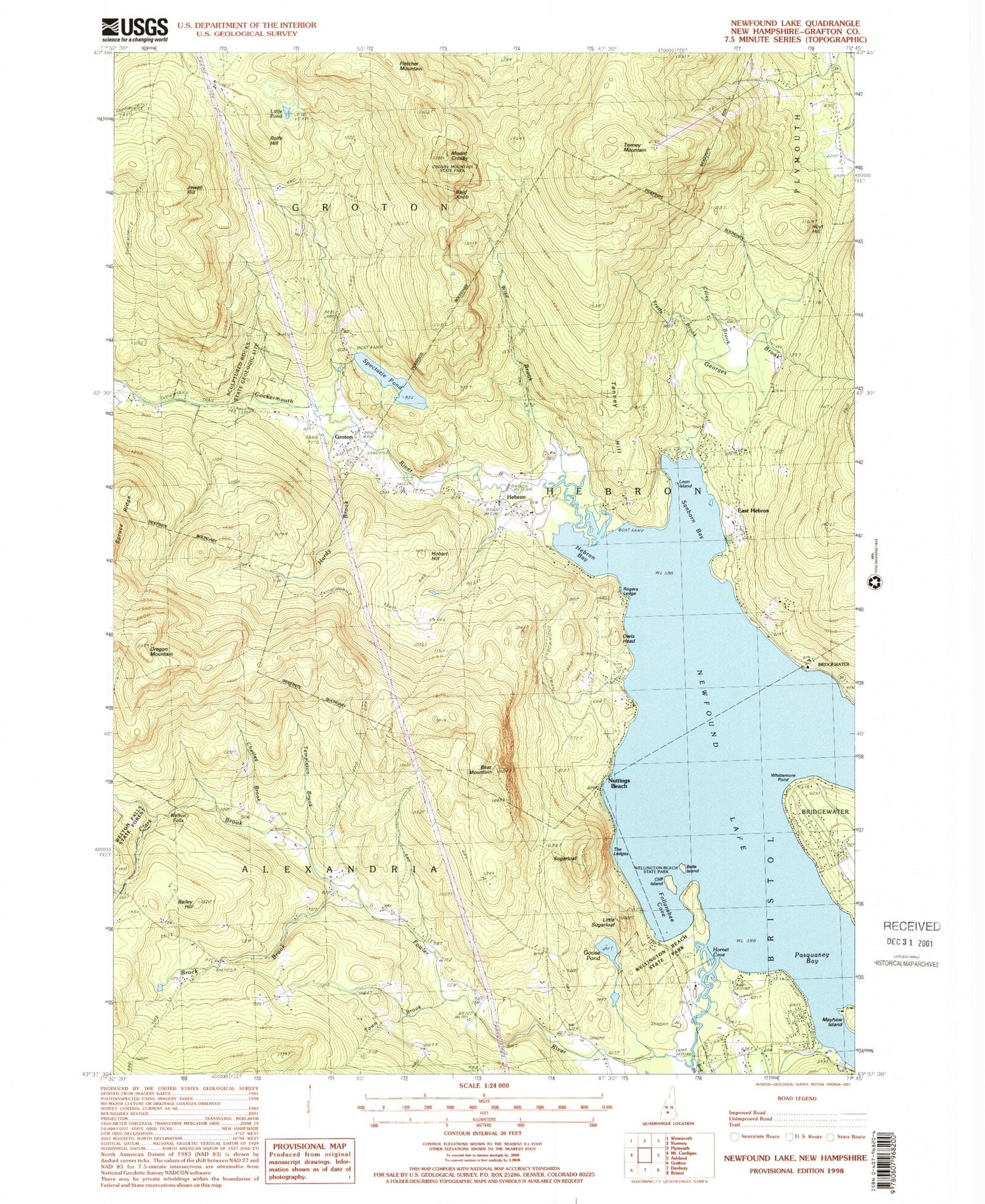
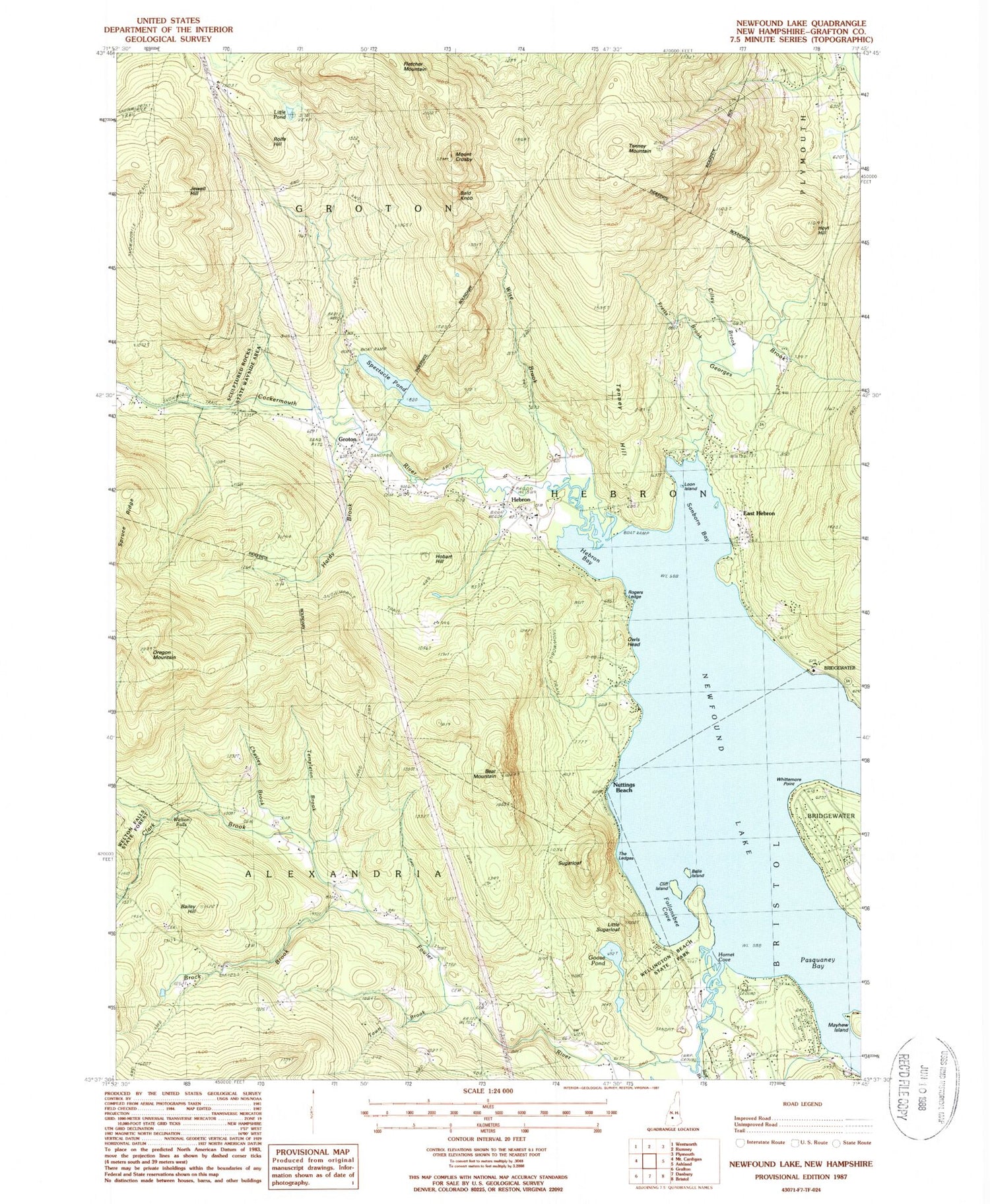
Classic USGS Newfound Lake New Hampshire 7.5'x7.5' Topo Map
Couldn't load pickup availability
Historical USGS topographic quad map of Newfound Lake in the state of New Hampshire. Typical map scale is 1:24,000, but may vary for certain years, if available. Print size: 24" x 27"
This quadrangle is in the following counties: Grafton.
The map contains contour lines, roads, rivers, towns, and lakes. Printed on high-quality waterproof paper with UV fade-resistant inks, and shipped rolled.
Contains the following named places: Bailey Brook, Bailey Hill, Bald Knob, Bear Mountain, Belle Island, Black Brook, Bog Brook, Brock Brook, Camp Berea, Camp Pasquaney, Chesley Brook, Cilley Brook, Clark Brook, Cockermouth River, Mount Crosby, East Hebron, Fretts Brook, Georges Brook, Goose Pond, Groton, Groton School Camp, Hardy Brook, Hebron, Hebron Bay, Hobart Hill, Hornet Cove, Hoyt Hill, Jewell Hill, Little Pond, Little Sugarloaf, Loon Island, Melton Falls Trail, Newfound Lake, Nuttings Beach, Oregon Mountain, Pasquaney Bay, Pratt Cemetery, Red School, Riverside Cemetery, Riverside School, Rogers Ledge, Rolfe Hill, Sanborn Bay, Sculptured Rocks, Spectacle Pond, Sugarloaf, Templeton Brook, Tenney Hill, Tenney Mountain, Town Brook, Turnpike School, Wellington State Park, Welton Falls, Whittemore Point, Wise Brook, School Number 9, Town of Groton, Town of Hebron, Spectacle Pond Dam, East Hebron Post Office, Hebron Post Office, Hebron Public Library, Hebron Village Cemetery, Hebron Village Historic District, Hebron Village School, Sculptured Rocks State Wayside Area, Union Congregational Church, Welton Falls State Forest, Hebron Fire Department, Groton Police Dept, Hebron Police Department


