MyTopo
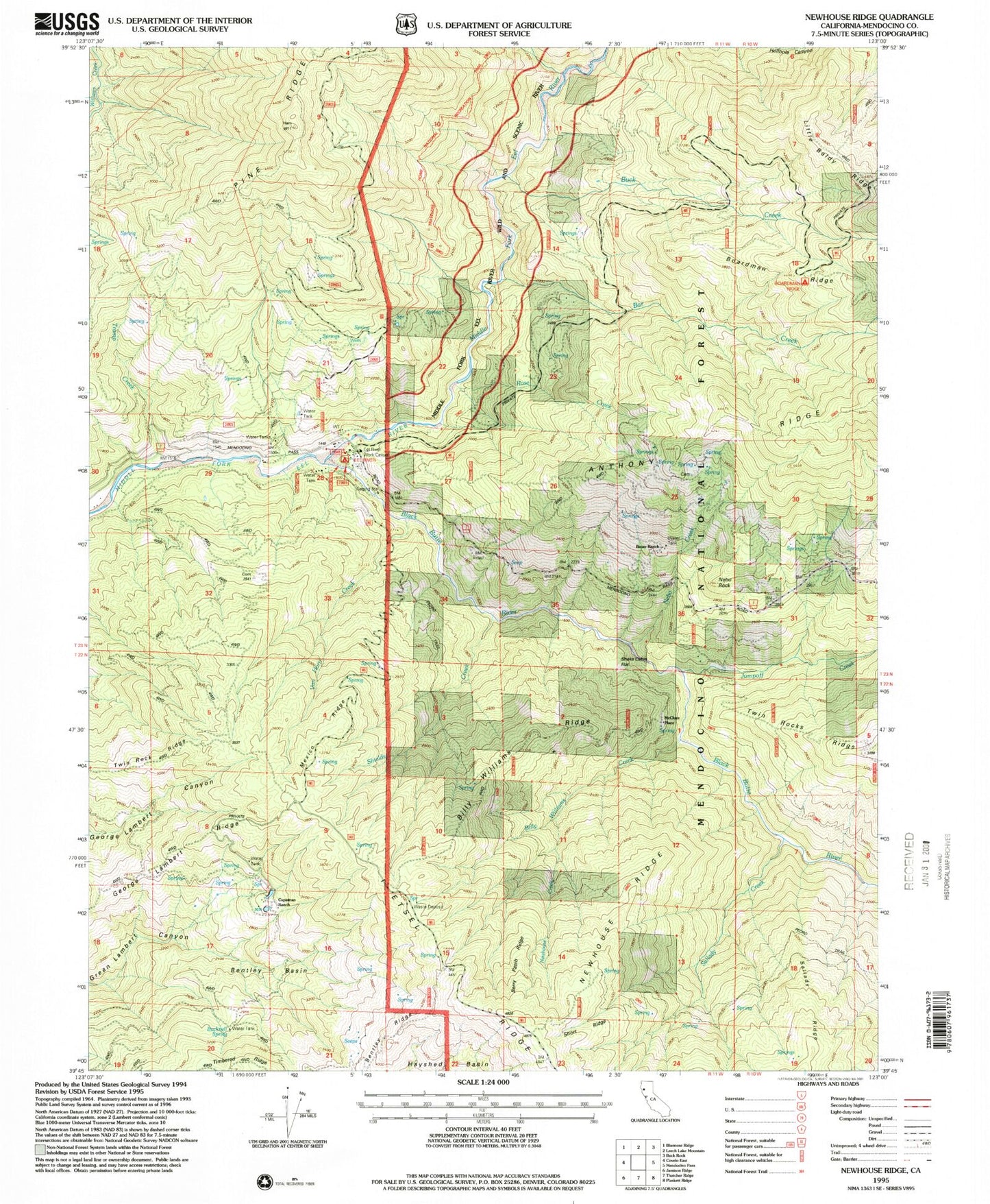
Classic USGS Newhouse Ridge California 7.5'x7.5' Topo Map
Couldn't load pickup availability
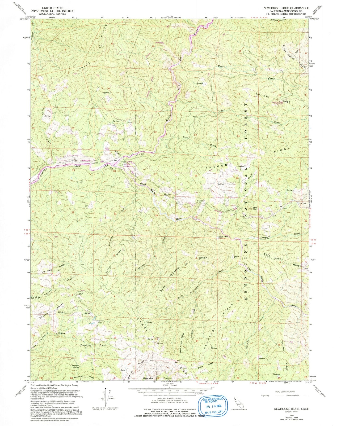
Historical USGS topographic quad map of Newhouse Ridge in the state of California. Map scale may vary for some years, but is generally around 1:24,000. Print size is approximately 24" x 27"
This quadrangle is in the following counties: Mendocino.
The map contains contour lines, roads, rivers, towns, and lakes. Printed on high-quality waterproof paper with UV fade-resistant inks, and shipped rolled.
Contains the following named places: Bar Creek, Bauer Ranch, Bentley Basin, Bentley Ridge, Berry Patch Ridge, Billy Williams Creek, Billy Williams Ridge, Black Butte River, Boardman Ridge, Boardman Ridge Campground, Buck Creek, Bucknell Spring, Capistran Ranch, Eel River Campground, Eel River Station, Eel River Work Center, George Lambert Ridge, Horse Camp, Johnson Corral, Jumpoff Creek, McClure Place, Mexico Ridge, Montague Ranger Station, Nebo Creek, Nebo Rock, Newhouse Creek, Newhouse Ridge, Rose Creek, Sallady Creek, Shake Cabin Flat, Sherburns, Shields Creek, Short Ridge, Tramp Creek, Twin Rock Ridge, Twin Rocks Ranger Station, Van Horn Creek


