
MyTopo
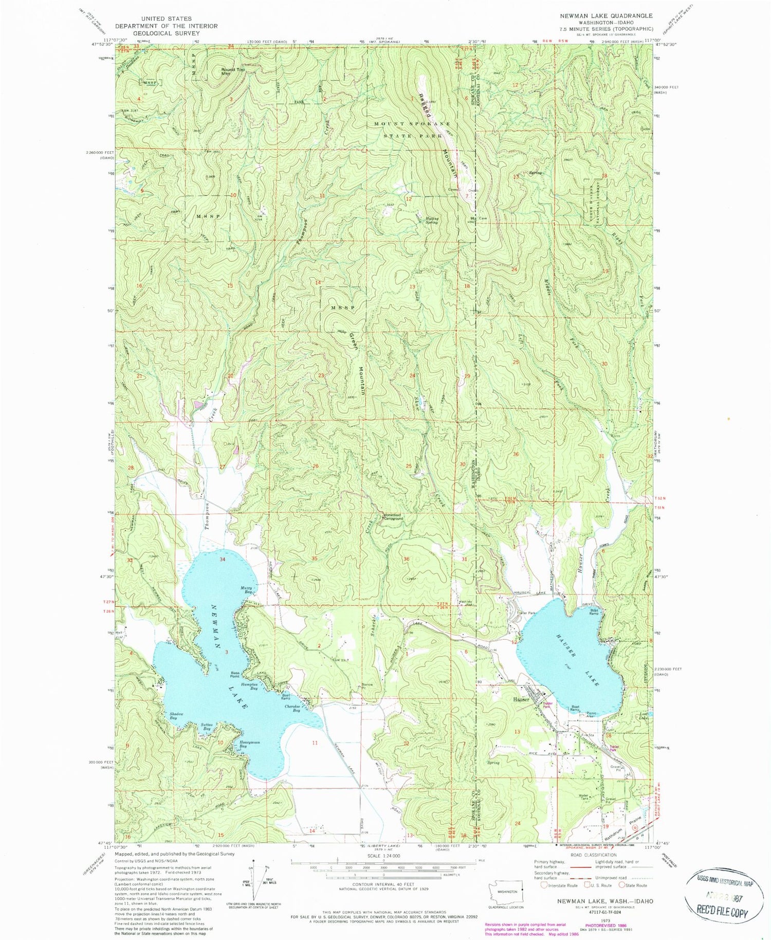
Classic USGS Newman Lake Washington 7.5'x7.5' Topo Map
Couldn't load pickup availability
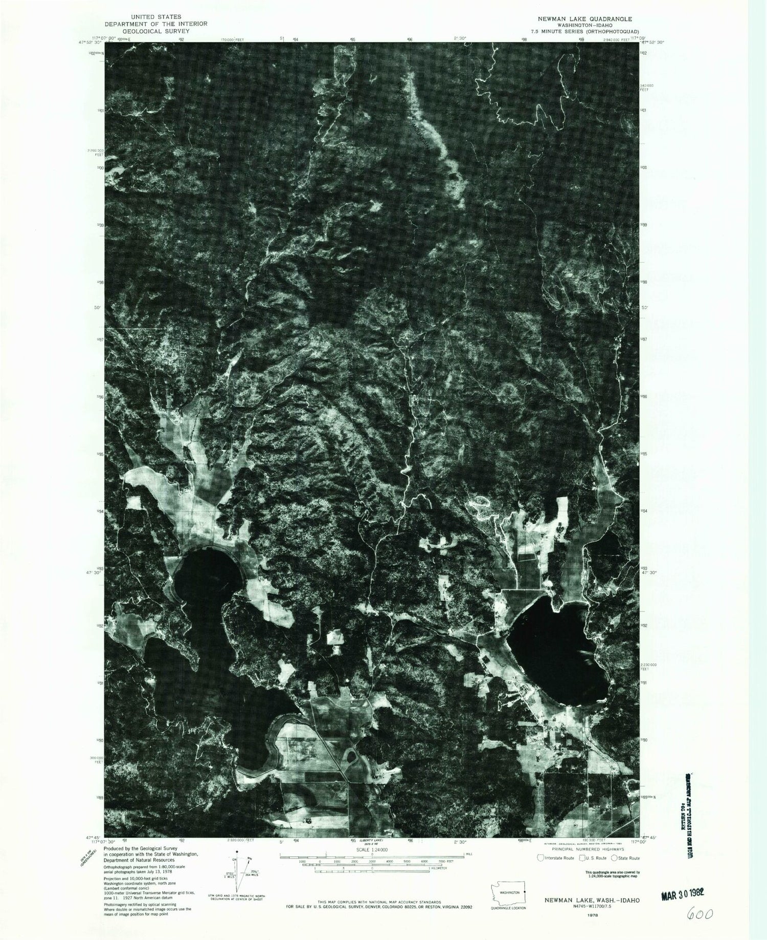
Historical USGS topographic quad map of Newman Lake in the states of Washington, Idaho. Typical map scale is 1:24,000, but may vary for certain years, if available. Print size: 24" x 27"
This quadrangle is in the following counties: Kootenai, Spokane.
The map contains contour lines, roads, rivers, towns, and lakes. Printed on high-quality waterproof paper with UV fade-resistant inks, and shipped rolled.
Contains the following named places: Bass Point, Cherokee Bay, Hampton Bay, Homestead Campground, Honeymoon Bay, Hysing Spring, Muzzy Bay, Schackle Creek, Shadow Bay, Sutton Bay, Thompson Creek, Newman Lake, Green Mountain, Round Top Mountain, Newman Lake, Homestead Campground, Shackle Creek, Newman Lake Flood Control Dam, Warner Dam, Mount Spokane Division, Spokane County Fire District 13 Newman Lake Fire and Rescue Station 1, Spokane County Fire District 13 Newman Lake Fire and Rescue Station 2, Hauser Creek, Hauser Lake, Left Fork Hauser Creek, Lost Lake, Middle Fork Hauser Creek, Ragged Mountain, Right Fork Hauser Creek, Shaw Creek, Hauser Lake Access Fish and Game, Hauser Lake School, Hauser, Hauser Lake Recreation Site, Smith Ranch Airport, City of Hauser, Hauser Lake Fire Department, Saddle Ridge


