MyTopo
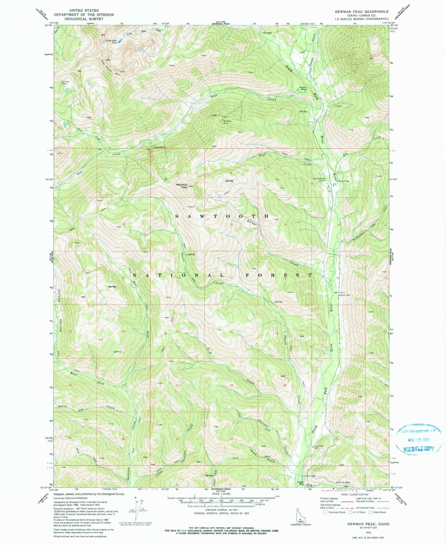
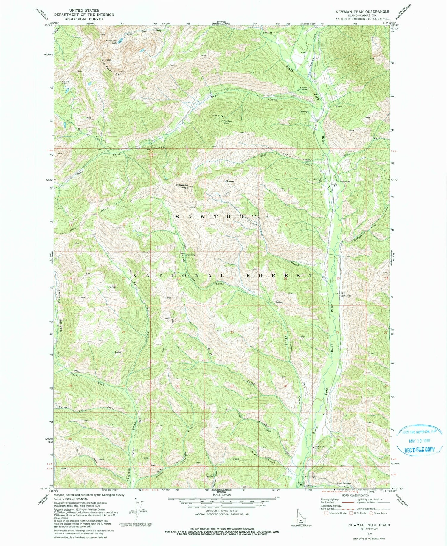
Classic USGS Newman Peak Idaho 7.5'x7.5' Topo Map
Couldn't load pickup availability
Historical USGS topographic quad map of Newman Peak in the state of Idaho. Typical map scale is 1:24,000, but may vary for certain years, if available. Print size: 24" x 27"
This quadrangle is in the following counties: Camas.
The map contains contour lines, roads, rivers, towns, and lakes. Printed on high-quality waterproof paper with UV fade-resistant inks, and shipped rolled.
Contains the following named places: Axolotl Mine, Bear Creek, Bridge Creek, Burnt Log Creek, East Fork Skeleton Creek, El Oro Mine, Elk Creek, Emma Creek, Fleck Summit, Fletcher Creek, Goat Creek, Headquarters Camp Creek, High Creek, Jones Gulch, Little Bear Lake, Mill Canyon, Narrow Canyon, Newman Peak, O P Creek, Old Sam Mine, Skunk Creek, Tip Top Mine, Two Point Mountain, West Fork Skeleton Creek, Southfork Airport


