MyTopo
Classic USGS Newport Center Vermont 7.5'x7.5' Topo Map
Couldn't load pickup availability
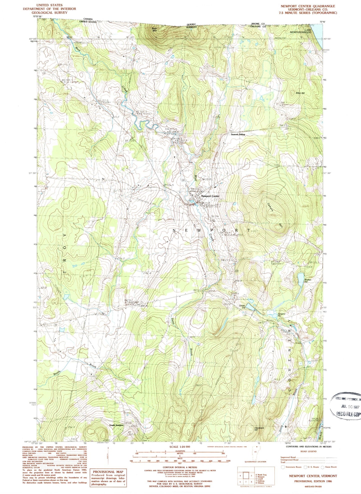
Historical USGS topographic quad map of Newport Center in the state of Vermont. Map scale may vary for some years, but is generally around 1:24,000. Print size is approximately 24" x 27"
This quadrangle is in the following counties: Orleans.
The map contains contour lines, roads, rivers, towns, and lakes. Printed on high-quality waterproof paper with UV fade-resistant inks, and shipped rolled.
Contains the following named places: Allen Hill, Brown School, Burington School, Cleveland Hill, Coburn Hill, Dunn Brook, Farrar School, Newport Center, Newport Center Cemetery, Newport Center Census Designated Place, Newport Center Post Office, Newport Town Elementary School, Sargent Pond, Smith Pond, South Newport, Summit Siding, Town of Newport, Walker Pond, West Hill School, ZIP Code: 05857