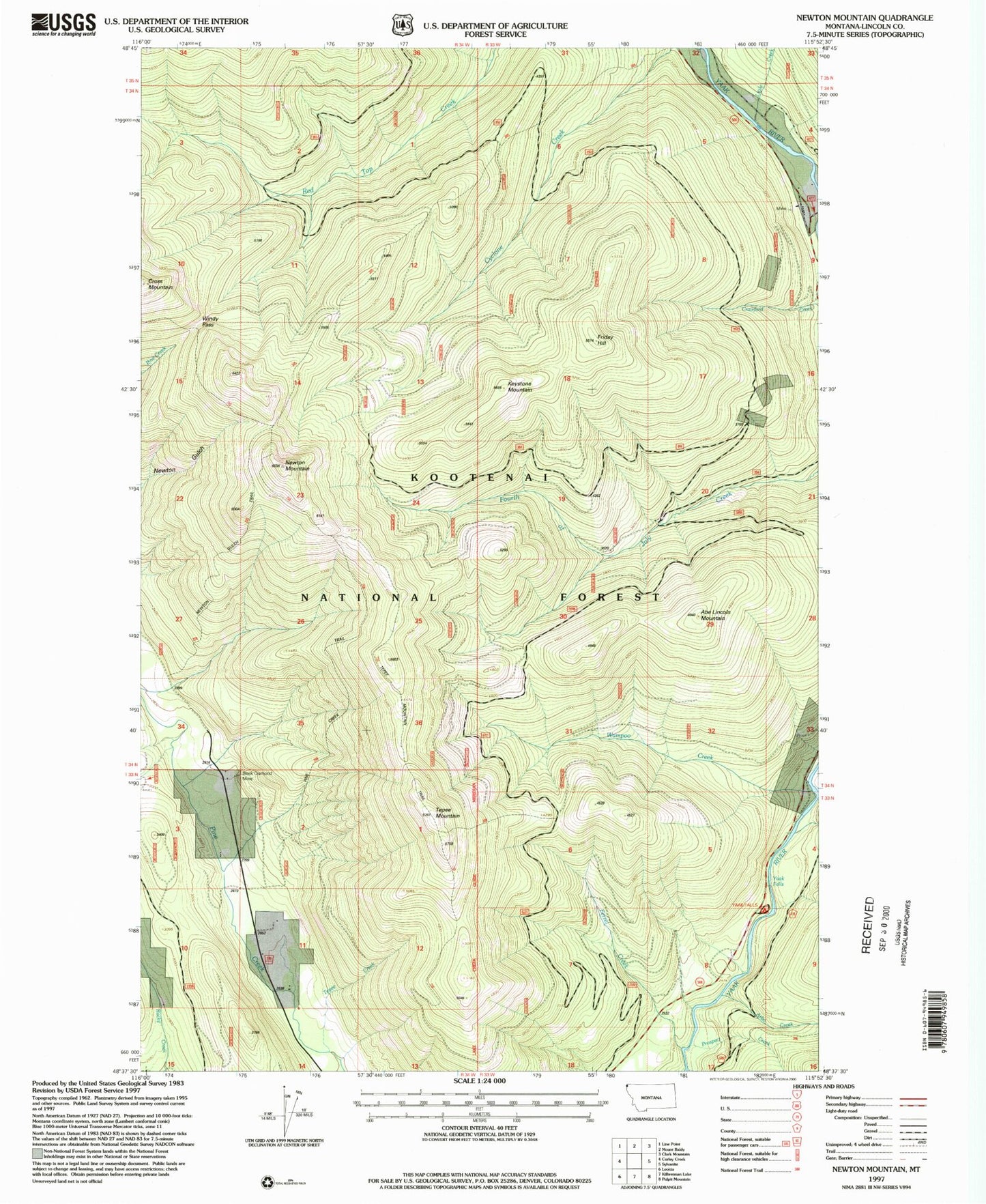
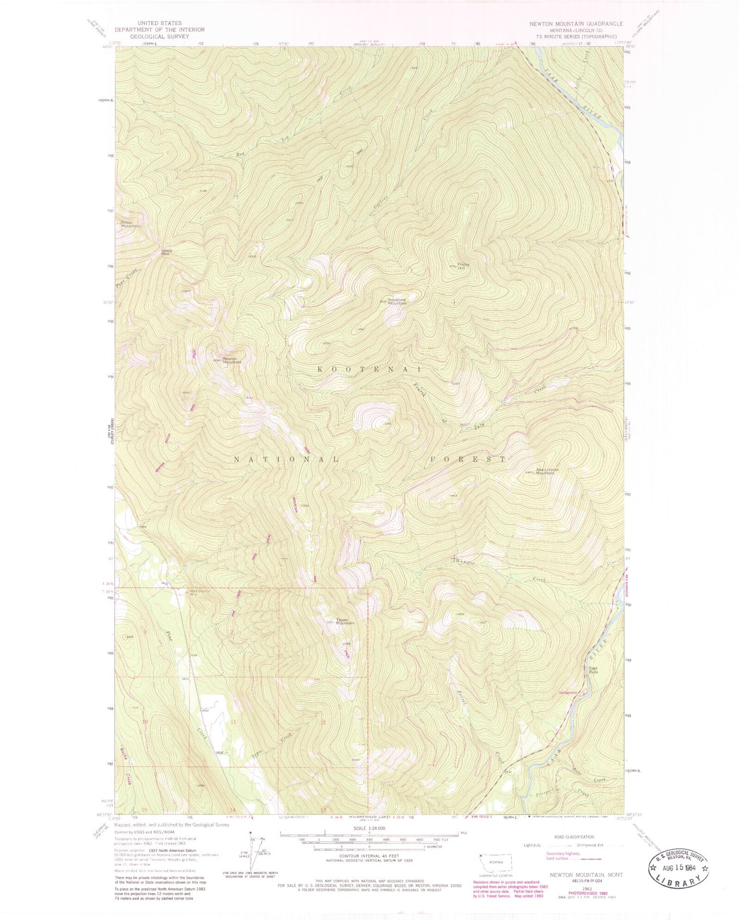
MyTopo
Classic USGS Newton Mountain Montana 7.5'x7.5' Topo Map
Couldn't load pickup availability
Historical USGS topographic quad map of Newton Mountain in the state of Montana. Map scale may vary for some years, but is generally around 1:24,000. Print size is approximately 24" x 27"
This quadrangle is in the following counties: Lincoln.
The map contains contour lines, roads, rivers, towns, and lakes. Printed on high-quality waterproof paper with UV fade-resistant inks, and shipped rolled.
Contains the following named places: Abe Lincoln Mountain, Arbo Creek, Black Diamond Mine, Cyclone Creek, Ferrel Creek, Fourth of July Snow Gage, Friday Hill, Friday Hill Snow Gage, Keystone Mine, Keystone Mountain, Little Creek, Morning Glory Mine, Newton Gulch Trail, Newton Mountain, Newton Mountain Snow Gage, Pine Creek Trail, Prospect Creek, Red Top Snow Gage, Tepee Creek, Tepee Mountain, Tepee Mountain Trail, Wampoo Creek, Windy Pass, Yaak Falls, Yeak Falls Campground