MyTopo
Classic USGS Newton Illinois 7.5'x7.5' Topo Map
Couldn't load pickup availability
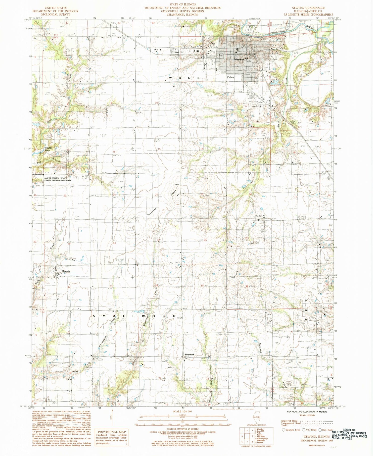
Historical USGS topographic quad map of Newton in the state of Illinois. Map scale may vary for some years, but is generally around 1:24,000. Print size is approximately 24" x 27"
This quadrangle is in the following counties: Jasper.
The map contains contour lines, roads, rivers, towns, and lakes. Printed on high-quality waterproof paper with UV fade-resistant inks, and shipped rolled.
Contains the following named places: Bogota, Bogota Post Office, Buck Grove School, Bunker Grove School, Calvin School, Center School, City of Newton, Cummins Cemetery, Eaton Farms, First Baptist Church, Greenwood School, Happy Hollow School, Honey Cemetery, Jasper County Ambulance Service, Jasper County Flying Club Airport, Jasper County Safety Council Heliport, Jasper County Sheriff's Office, Long Branch School, M and P Farm, Maple Hill Farm, Moulden School, New Life Christian Center, Newton, Newton Community High School, Newton Elementary School, Newton Police Department, Newton Post Office, Newton Water Treatment Plant, Pleasant Ridge, Pleasant Ridge Cemetery, Pleasant Ridge School, Riverside Cemetery, Saint Thomas Church, Saint Thomas School, Schafer Farms, Scott Avenue Christian Church, Shamrock, Smithenry Farms, Township of Smallwood, Vanderhoof Cemetery, Vanderhoof School, Wade Community Fire Protection District, Wakefield School, West Lawn Cemetery, Woods Cemetery, ZIP Code: 62448


