MyTopo
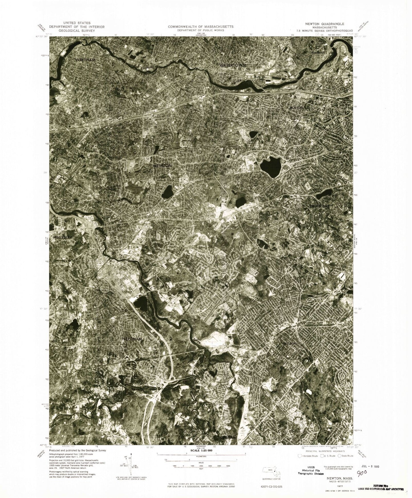
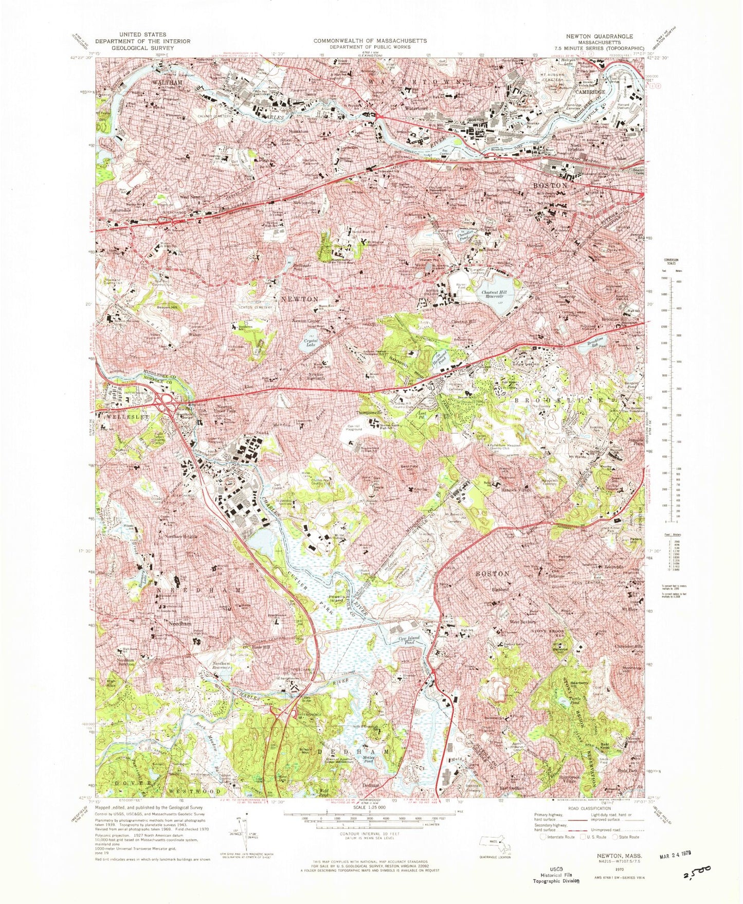
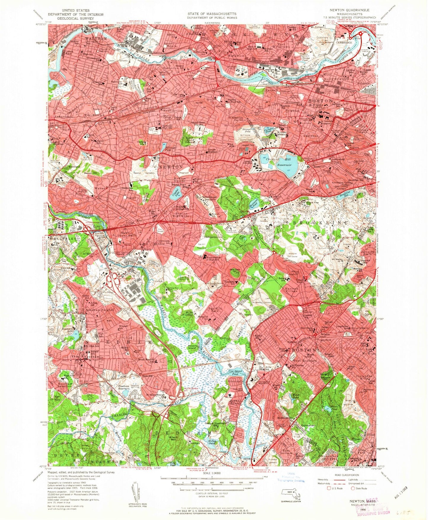
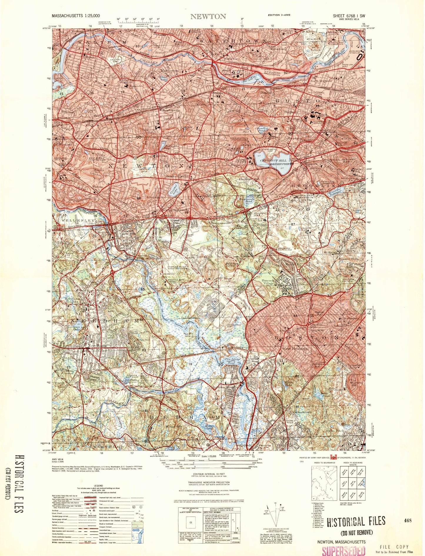
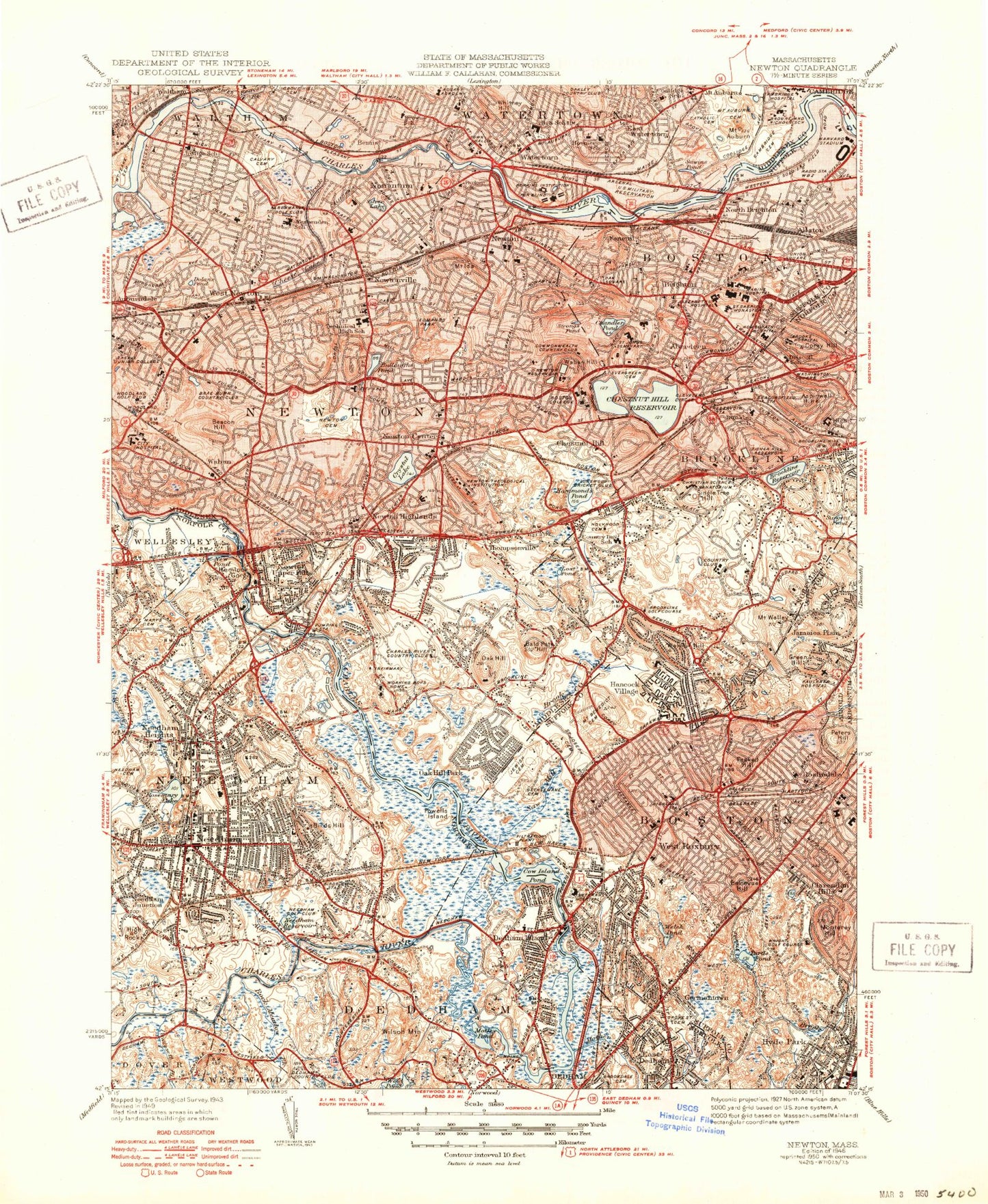
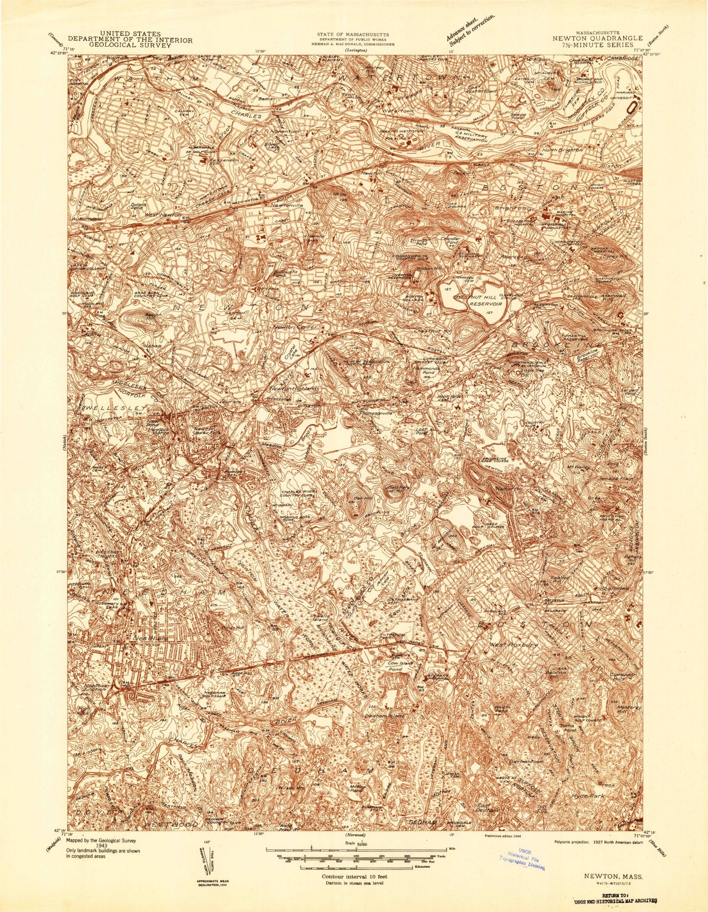
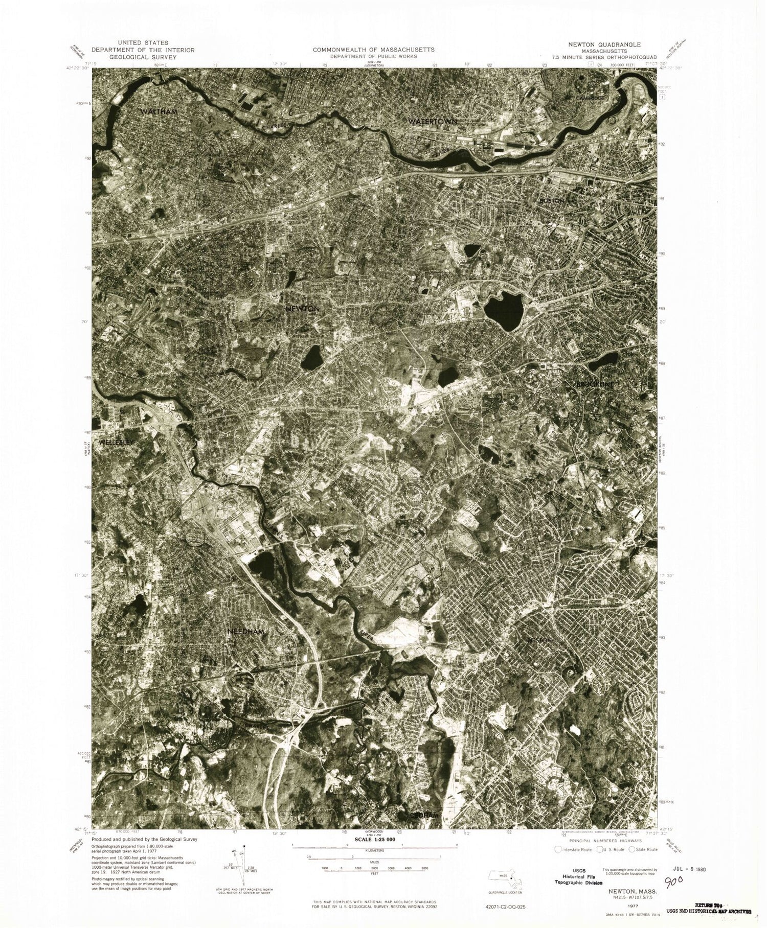
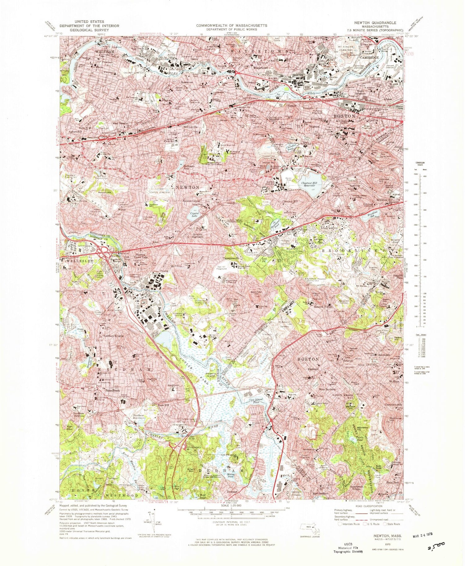
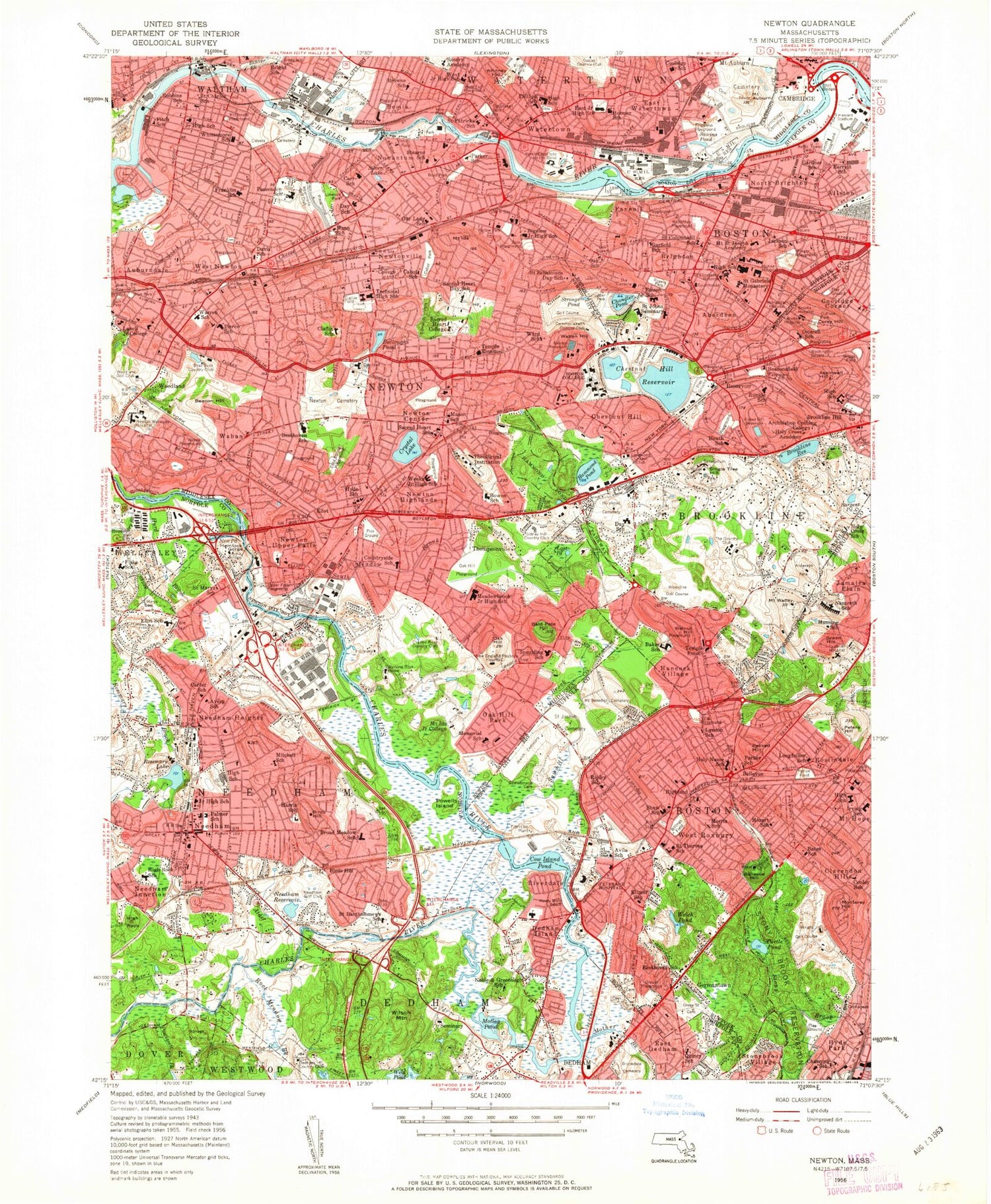
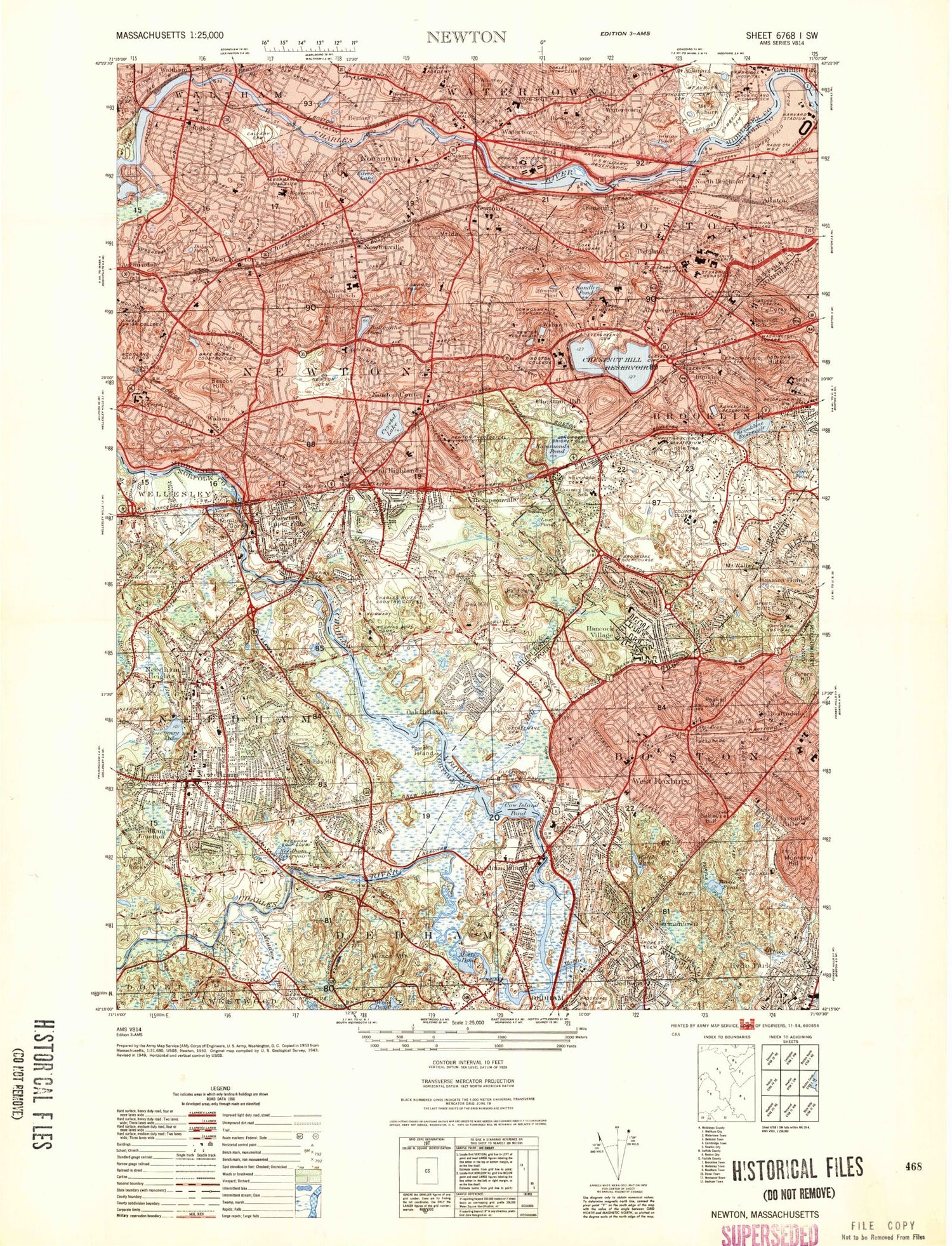
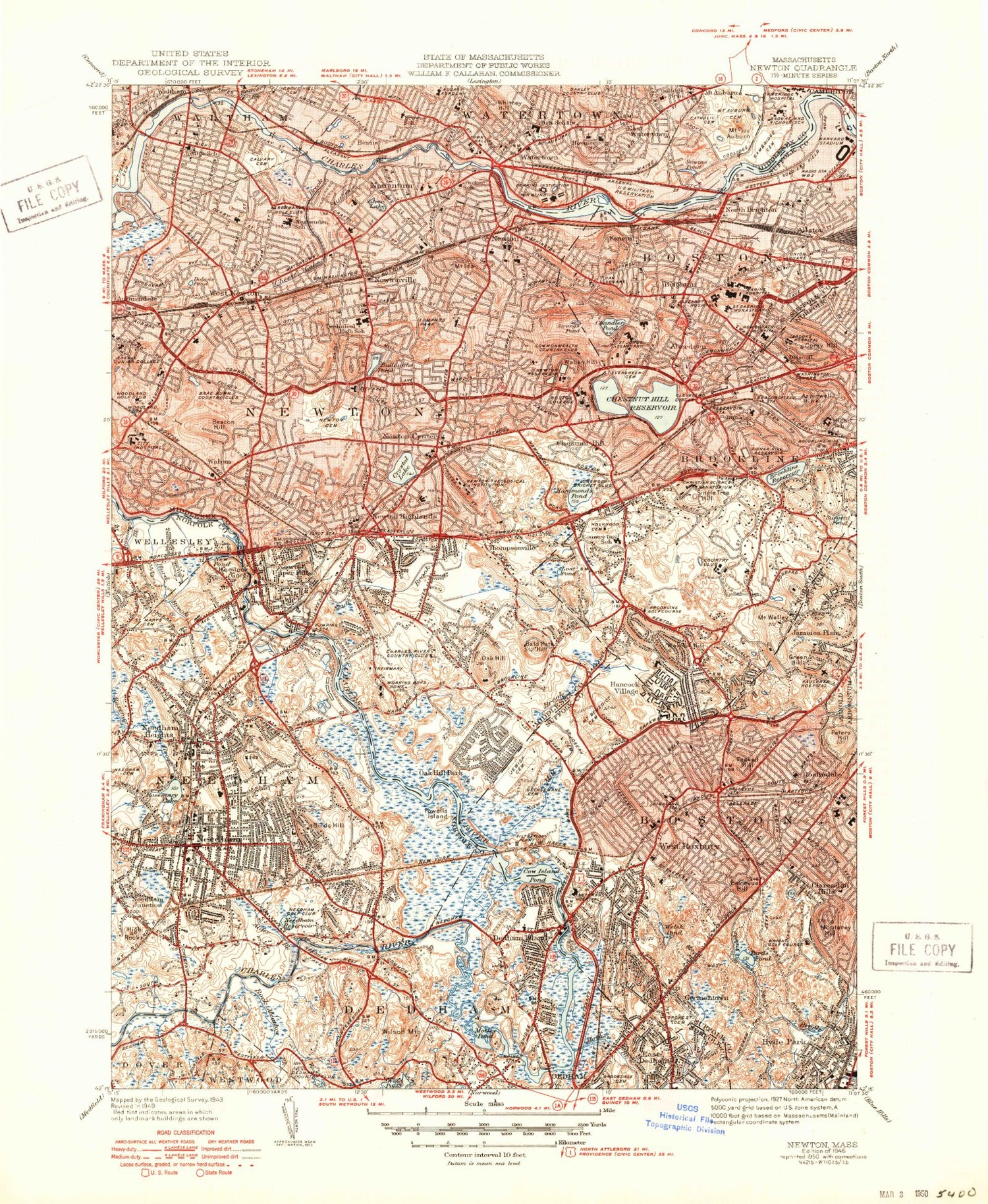
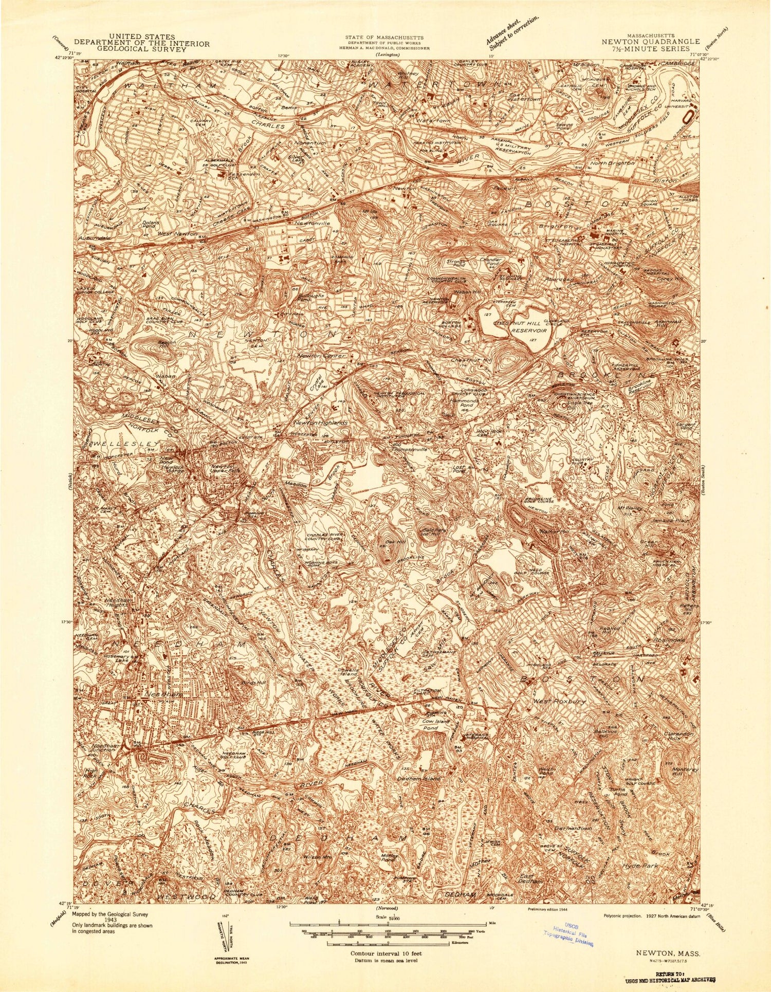
Classic USGS Newton Massachusetts 7.5'x7.5' Topo Map
Couldn't load pickup availability
Historical USGS topographic quad map of Newton in the state of Massachusetts. Typical map scale is 1:24,000, but may vary for certain years, if available. Print size: 24" x 27"
This quadrangle is in the following counties: Middlesex, Norfolk, Suffolk.
The map contains contour lines, roads, rivers, towns, and lakes. Printed on high-quality waterproof paper with UV fade-resistant inks, and shipped rolled.
Contains the following named places: Brookdale Cemetery, Williams School, Walpole High School, Cutler Park, Soldiers Field, Saint Josephs Novitiate, Newton Memorial School, Saint Josephs Cemetery, Linwood Park, West Junior High School, Browne School, Victory Field, Allison Park, Saltonstall Park, Saint Patricks School, Stearns School, Parker School, Lincoln Eliot School, Aquinas Junior College, Harthorn Playground, How Park, Our Lady School, Lowell Park, Carr School, Day Junior High School, The Fersenden School, Franklin School, Whittemore Elementary School, Davis School, Saint Bernard Elementary School, Pierce School, Warren Junior High School, Brae Burn Country Club, Lasell College, Woodland County Club, Murray Road School, Burr School, Massachusetts Bay Community College, Calvary Cemetery, Lowell Playground, Bright Elementary School, Ezra C Fitch School, Robbins School, Saint Charles School, Waltham Junior High School, Cold Spring Playground, Waban Playground, Angle School, Echo Bridge, Upper Falls Playground, Emerson School, Richardson Field, Newton Cemetery, Newton City Hall, Stone Institute, John Ward School, Mount Alvernia Academy, Boston College, Saint Sebastians School, Mount Alvernia College, Sacred Heart School, Newton College of the Sacred Heart, Edmands Park, Kenrick Park, Burr Playground, Bigelow Junior High School, Underwood School, Farlow Park, Cabot Park, Cabot School, Newton High School, Newton Junior College, Crescent Hill Country Club, Perkins School, East Junior High School, Victory Field, Watertown High School, Coolidge School, Sacred Heart School, Mount Auburn Hospital, Mount Auburn Cemetery, Cambridge Cemetery, Browne-Nichols School, Shady Hill School, Fillippello Playground, Common Street Cemetery, Rosary Academy, Baldwin School, Ringer Playground, Jackson School, Saint Gabriels School, Hamilton School, Saint Johns Seminary, Brighton High School, William H Taft Middle School, Washington-Allston School, Winship School, Mount Saint Josephs Academy, Rogers Park, Lyon School, The Cenacle, Garfield School, Saint Columbkilles School, McKinney Playground, Edospm Junior High School, Gardner School, Smith Playground, Union Square, Saint Anthonys School, Oak Square School, Our Lady of the Presentation Academy, Gallagher Park, Eliot Bridge, Sidney Hill Country Club, Peabody School, League School, Newton South High School, Meadow Brook Junior High School, Oak Hill Playground, Mount Ida Junior College, Charles River Country Club, Countryside School, Bowen School, Weeks Junior High School, Andover Newton Theological School, Sacred Heart School, Mason-Rice School, Hyde School, Beethoven School, Lincoln Playground, Newton - Wellesley Hospital, Holy Cross Academy, Maimonides School, Cardinal Cushing College, Clark Playground, Walnut Street Cemetery, Runkle School, Brookline High School, Brookline Hill High School, Outlook Park, Dedham Country Club, Glover Memorial Hospital, Pollard Middle School, Harris School, Quincy School, Brookdale Cemetery, Riverdale School, Noble and Greenough School, Queen of Apostles College and Seminary, Broadmeadow School, Saint Bartholomews School, Saint Joseph School, Palmer School, Highland Avenue School, Needham Townhall, Needham High School, William Mitchell School, Avery School, Hillside Elementary School, Carter School, Cricket Field, John Eliot School, Mills Field, Saint Marys Cemetery, Needham Cemetery, Joseph E Fiske School, Joyce Kilmer Park, Lyndon School, Nazareth School, Faulkner Hospital, Mount Benedict Cemetery, Saint Josephs Cemetery, Hynes Field, Henry Grew School, Smith Field, Kennedy Memorial School, Adath Jeshurun Cemetery, Saint Marys Cemetery, Draper Playground, Beethoven School, Stony Brook Reservation, Joyce Kilmer School, George H Conley School, Bates School, Roxbury Latin School, Saint Theresa Elementary School, Washington Irving Middle School, Mount Hope School, Longfellow School, Reservoir Station, Cypress Street Station, Needham Station (historical), Highlandville Station (historical), Faneuil Station (historical), Brighton Station (historical), Allston Station (historical), West Roxbury Station (historical), Spring Street Station (historical), Highland Station (historical), Central Station (historical), Roslindale Station (historical), Auburndale Shopping Center, Chestnut Hill Plaza, The Mall at Chestnut Hill, Kings Purity Supreme Plaza, Lyons Bridge, The Country Club, Arnold Arboretum, Veterans Administration Hospital, Riverdale Park, Watertown Townhall, Gore Place, Rosemary Lake Dam, Newton Upper Falls Dam, Charles River Reservoir, Chestnut Hill Reservoir Dam, Waban Hill Reservoir Dam, Harrisson Gray Otis House Museum, Eliot Station (historical), Cook Street Station (historical), Newton Centre Station (historical), Chemistry Station (historical), Mount Auburn Station (historical), Winchester Hill, Parker Street Swamp (historical), Cold Spring Swamp (historical), Laundry Brook (historical), Cold Spring Brook (historical), Nahanton Street Swamp, Hammonds Pond Swamp, Chestnut Hill, Moffatt Hill, Mount Ida, Institution Hill, Nonantum Hill, North Village
