MyTopo
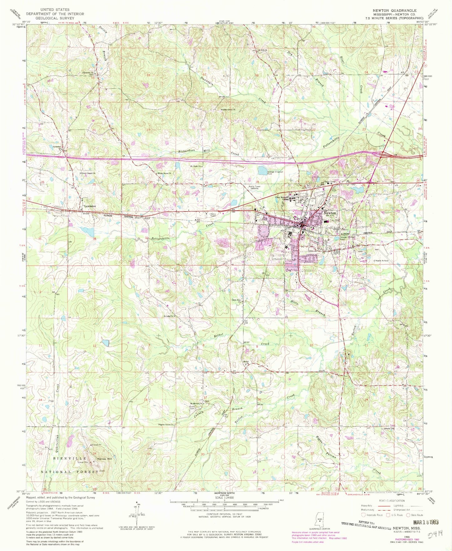
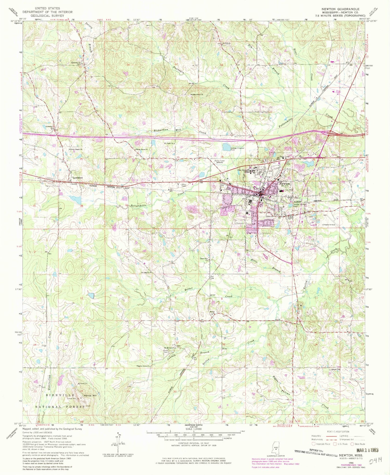
Classic USGS Newton Mississippi 7.5'x7.5' Topo Map
Couldn't load pickup availability
Historical USGS topographic quad map of Newton in the state of Mississippi. Map scale may vary for some years, but is generally around 1:24,000. Print size is approximately 24" x 27"
This quadrangle is in the following counties: Newton.
The map contains contour lines, roads, rivers, towns, and lakes. Printed on high-quality waterproof paper with UV fade-resistant inks, and shipped rolled.
Contains the following named places: Altarie Church, Baptist Cemetery, Bethel, Bethel Church, Bethel Creek, Calhoun, Calvary Baptist Church, Cedar Grove, Cedar Grove Church, Cedar Grove School, Charles Guin Lake Dam, City of Newton, Clark Memorial College, Coatraw, Craney Branch, Doolittle, Doolittle Confederate Cemetery, Doolittle School, Dry Branch, Dunnagin Creek, Ebenezer, Ebenezer Church, Evans Cemetery, First Baptist Church, Goodnews School, Hitts Branch, James H Easom Field, Jerusalem Church, Lawrence, Lawrence Post Office, Little Zion Church, Masonic Cemetery, Meadowview Hospital, Morning Star Baptist Church, Mount Moriah Church, Nance Hill, Newton, Newton Christian Church, Newton Church of Christ, Newton City Hall, Newton County Elementary School, Newton County High School, Newton Fire Department, Newton First Methodist Protestant Church, Newton Lagoon Dam, Newton Police Department, Newton Post Office, Newton Presbyterian Church, Newton Public Library, Newton United Methodist Church, Newton Vocational School, Pilgrim Grove, Pilgrim Grove Church, Pine Grove School, Pioneer Community Hospital of Newton, Richardson Mill Creek, Riser Creek, Saint Clyde Church, Saint Hill Church, Saint John Church, Saint John School, Six Towns, Supervisor District 4, Sycamore School, T L Harris Lake Dam, Trinity Episcopal Church, Union Chapel Church, Volcan, WBKN Radio Tower (Biloxi), White Stone Church, Why Not School, WMYQ-AM (Newton), WMYQ-FM (Newton)


