MyTopo
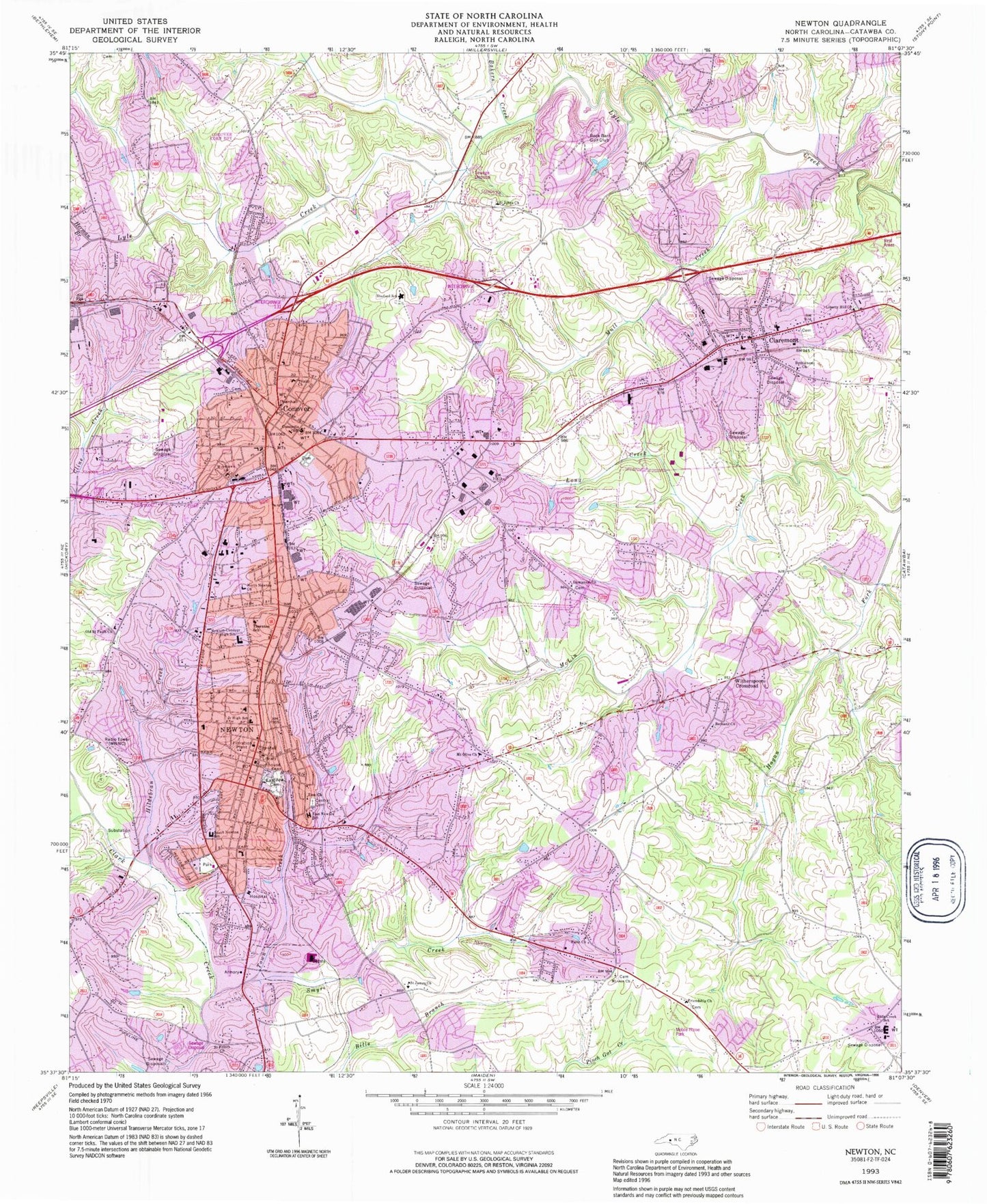
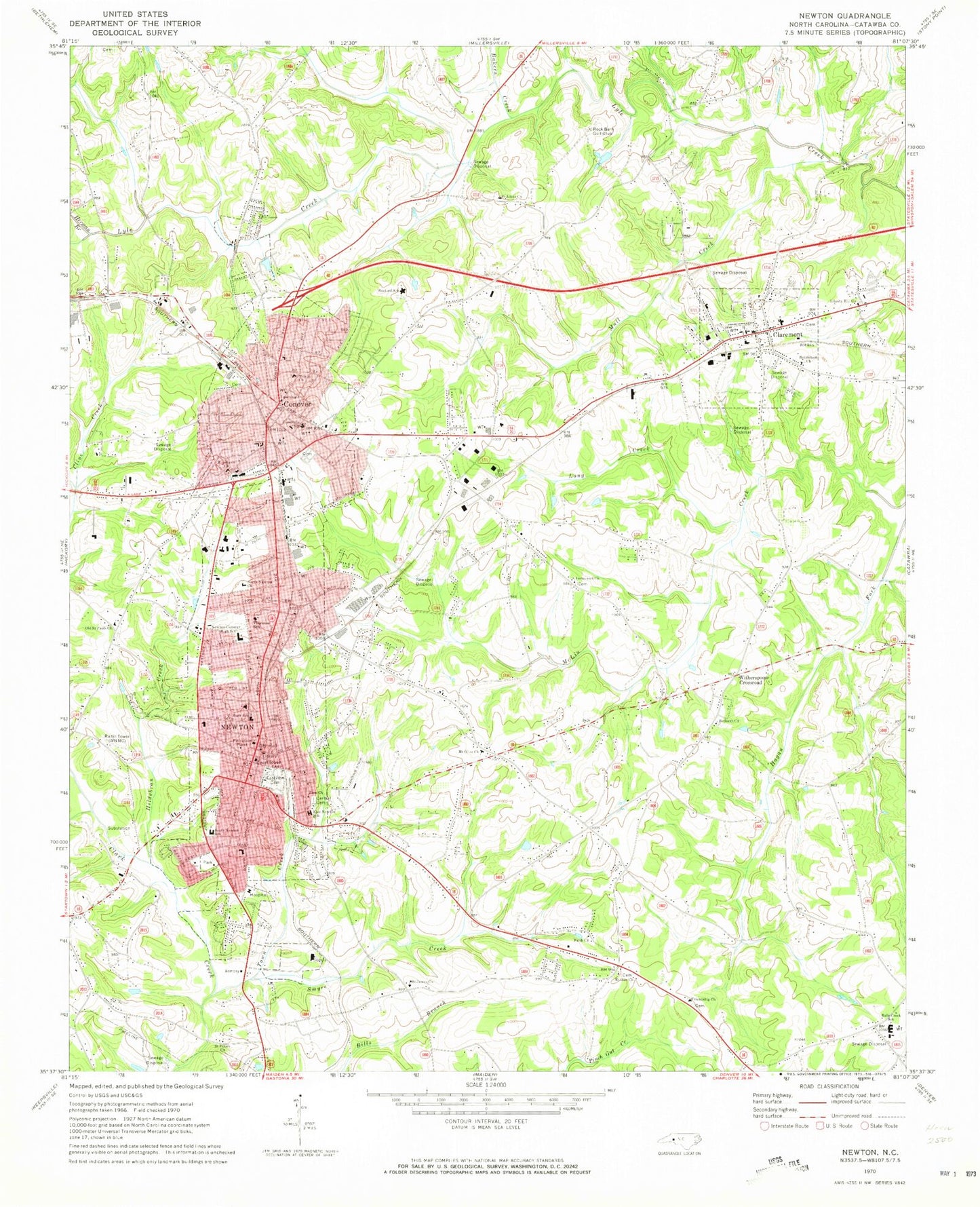
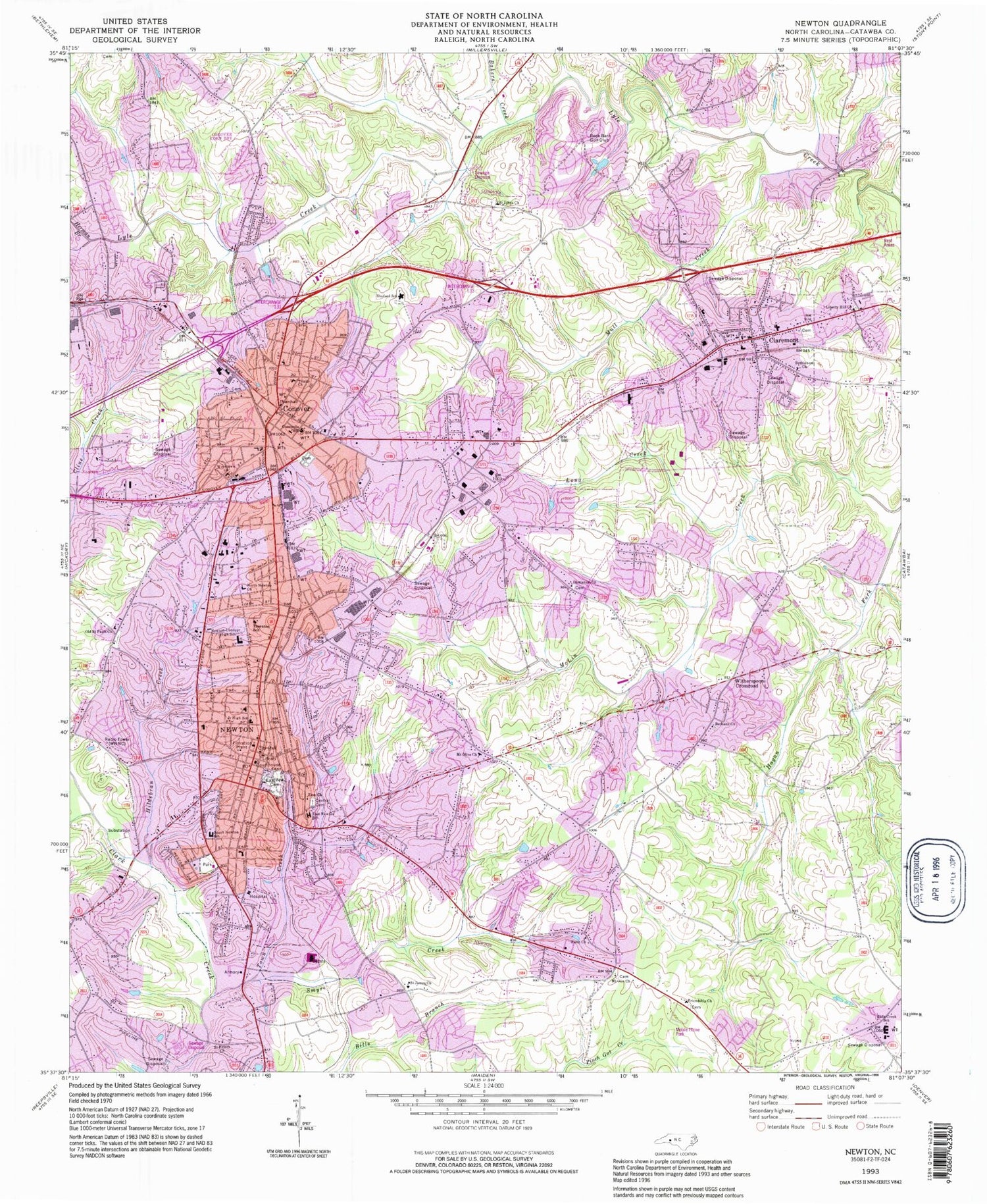
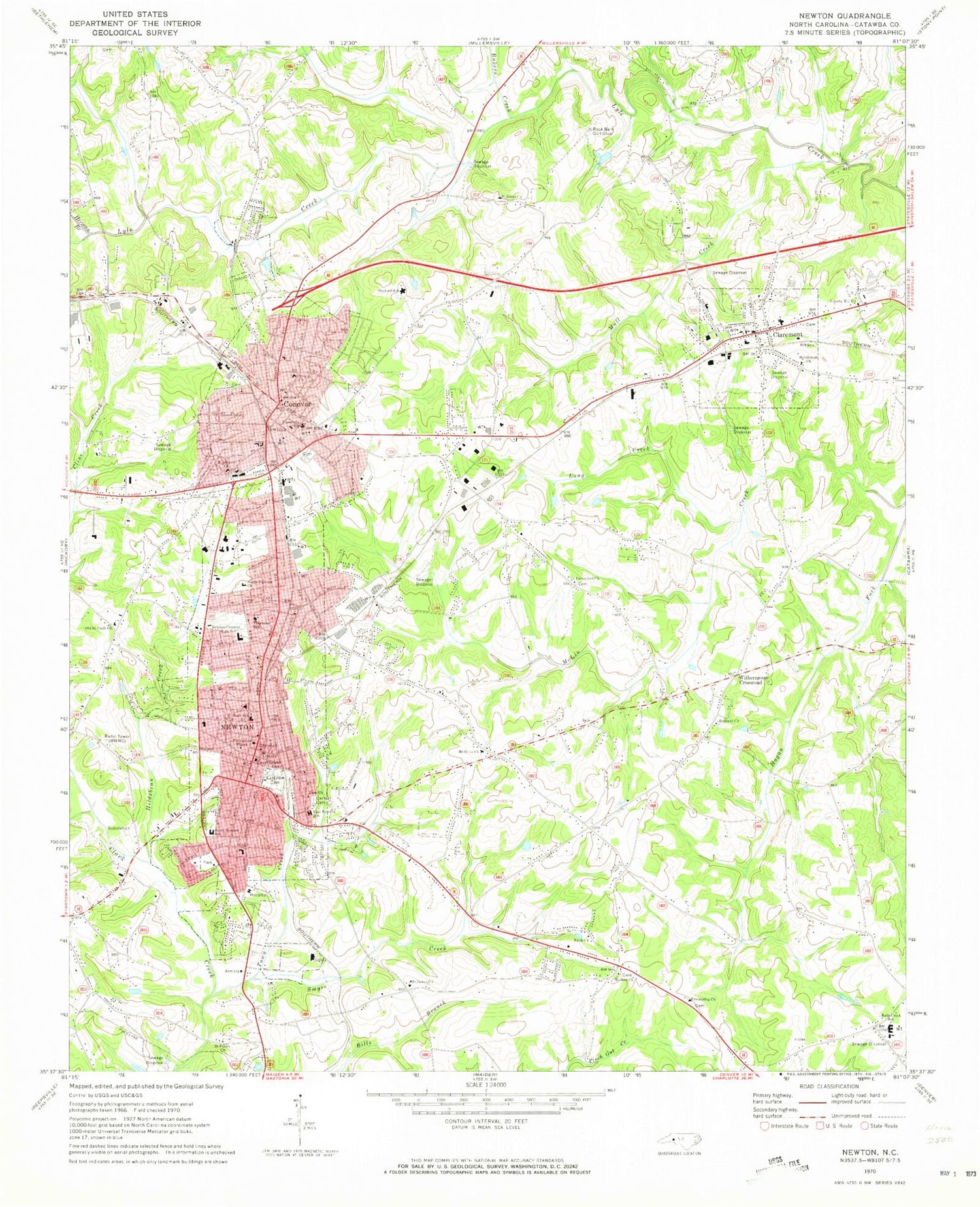
Classic USGS Newton North Carolina 7.5'x7.5' Topo Map
Couldn't load pickup availability
Historical USGS topographic quad map of Newton in the state of North Carolina. Map scale may vary for some years, but is generally around 1:24,000. Print size is approximately 24" x 27"
This quadrangle is in the following counties: Catawba.
The map contains contour lines, roads, rivers, towns, and lakes. Printed on high-quality waterproof paper with UV fade-resistant inks, and shipped rolled.
Contains the following named places: Bakers Creek, Balls Creek School, Bethany Church, Bethlehem Church, Catawba County, Catawba County Emergency Medical Services, Catawba County Sheriff's Office, Catawba Village Shopping Center, Central Cemetery, City of Claremont, City of Conover, City of Newton, Claremont, Claremont City Cemetery, Claremont City Police Department, Claremont Elementary School, Claremont Fire Department, Claremont Post Office, Claremont Rescue Squad, Concordia Christian Day School, Conover, Conover Fire Department Station 1, Conover Fire Department Station 2, Conover Fire Department Station 3, Conover Police Department, Conover Post Office, Conover School, Discovery High School, East Newton School, Eastview Cemetery, F J I Development Corporation Dam, F J I Development Corporation Lake, Faith Church, Friendship Church, Gryphon Branch, Hedrick Dam, Hedrick Lake, Herman Branch, Hildebran Creek, Immanuel Church, Lake Hickory, Liberty Hill Church, Long Creek, Mount Olive Church, Mull Creek, Myers, Newton, Newton - Conover High School, Newton - Conover Rescue Squad, Newton City Lake, Newton City Lake Dam, Newton City Police Department, Newton Conover Airport, Newton Fire Department Station 1 Headquarters, Newton Fire Department Station 2 Northside, Newton Post Office, Newton-Conover Junior High School, North Carolina State Highway Patrol Troop F Headquarters, North Newton Church, North Newton Elementary School, Old Saint Pauls Church, Oxford Dam, Rock Barn Golf Club, Saint James Church, Saint Johns Church, Shuford Elementary School, Smyre Creek, South Newton Elementary School, Town Creek, Township of Newton, Trinity Church, Villa Park Shopping Center, Witherspoon Crossroad, WNNC-AM (Newton), Woodlawn Church, Zion Church, ZIP Codes: 28610, 28613, 28658


