MyTopo
Classic USGS Newtonsville Ohio 7.5'x7.5' Topo Map
Couldn't load pickup availability
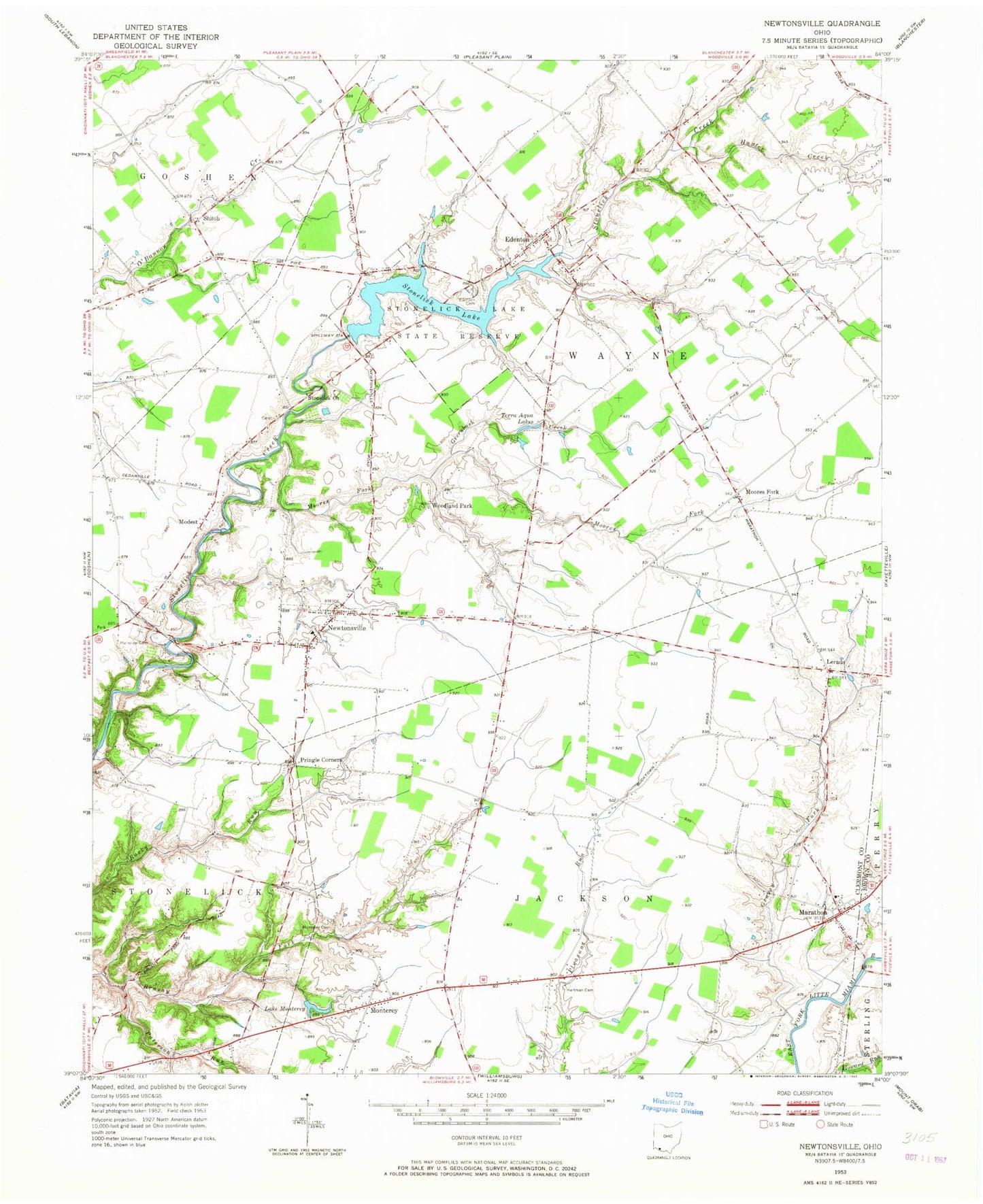
Historical USGS topographic quad map of Newtonsville in the state of Ohio. Map scale may vary for some years, but is generally around 1:24,000. Print size is approximately 24" x 27"
This quadrangle is in the following counties: Brown, Clermont.
The map contains contour lines, roads, rivers, towns, and lakes. Printed on high-quality waterproof paper with UV fade-resistant inks, and shipped rolled.
Contains the following named places: Antique Acres Airpark, Beechtree Trail, Brick Chapel Cemetery, Clearwater Airpark, Clermont NE School Lake, Clermont NE Schools Lake Dam, Clermont Northeastern High School, Crescent Isle Lake, Davis School, Deer Track Golf Course, Edenton, Edenton Cemetery, Edenton Post Office, Grassy Fork, Greenbush Creek, Hallelujah Field, Hartman Cemetery, Hartman School, Hunter Creek, Jackson Township Fire Department, Lake Monterey, Lakeview Trail, Lerado, Lerado Post Office, Locust Creek, Lord's Valley Golf Course, Marathon, Marathon Census Designated Place, Marathon Post Office, Modest, Modest Post Office, Monterey, Monterey Cemetery, Monterey Post Office, Moores Fork, Moores Fork Baptist Church, Moores Fork Post Office, Newtonsville, Newtonsville Census Designated Place, Newtonsville Post Office, Northeastern Middle School, Oak Grove School, Old Baptist Church Cemetery, Osborne School, Patterson Run, Plainview Cemetery, Pringle Corners, Pringles Orchard, Red Fox Trail, Shiloh, Shumard School, Southwoods Trail, Stonelick Church, Stonelick Lake, Stonelick Lake Dam, Stonelick Lake State Park, Terra Agua Lakes, Township of Jackson, Township of Wayne, Village of Newtonsville, Wayne Township Fire and Rescue Station 55, Wayne Township Fire and Rescue Station 56, WCNE-FM (Batavia), Woodland Park, Woodland Park Post Office, Zionsville School, ZIP Codes: 45122, 45145, 45158


