MyTopo
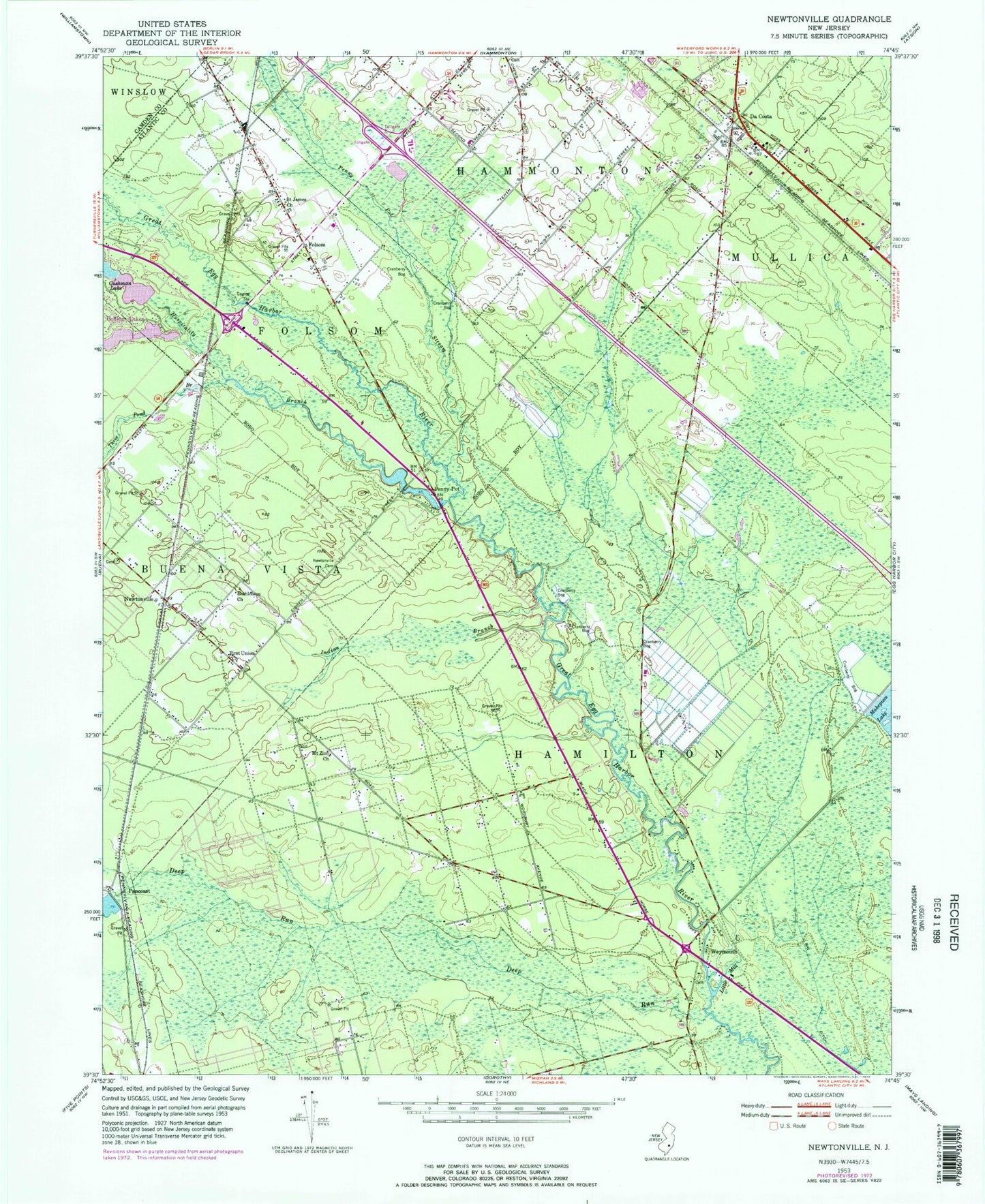
Classic USGS Newtonville New Jersey 7.5'x7.5' Topo Map
Couldn't load pickup availability
Historical USGS topographic quad map of Newtonville in the state of New Jersey. Map scale may vary for some years, but is generally around 1:24,000. Print size is approximately 24" x 27"
This quadrangle is in the following counties: Atlantic, Camden.
The map contains contour lines, roads, rivers, towns, and lakes. Printed on high-quality waterproof paper with UV fade-resistant inks, and shipped rolled.
Contains the following named places: Barnard, Bethlehem Church, Big Ditch, Borough of Folsom, Cushman Lake, Cushman Lake Dam, Da Costa, Deep Run, First Union Church, Folsom, Folsom Airport, Folsom Elementary School, Folsom Volunteer Fire Company, Great Egg Harbor Wild and Scenic River, Green Market Farms, Hospitality Branch, Indian Branch, Lake Albert, Lake Albert Dam, Little Mill Creek, Makepeace Lake Dam, Mount Zion Church, New Jersey State Police Troop A Buena Vista Headquarters, Newtonville, Newtonville Cemetery, Newtonville Census Designated Place, Newtonville Post Office, Pancoast, Pancoast Mill Pond Dam, Penny Pot, Penny Pot Stream, Saint Augustine Preparatory School, Saint James Church, Three Pond Branch, Weymouth, Weymouth Volunteer Fire Company, ZIP Code: 08346