MyTopo
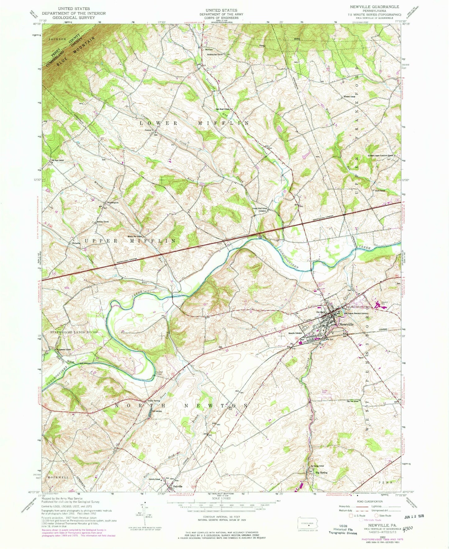
Classic USGS Newville Pennsylvania 7.5'x7.5' Topo Map
Couldn't load pickup availability
Historical USGS topographic quad map of Newville in the state of Pennsylvania. Map scale may vary for some years, but is generally around 1:24,000. Print size is approximately 24" x 27"
This quadrangle is in the following counties: Cumberland, Perry.
The map contains contour lines, roads, rivers, towns, and lakes. Printed on high-quality waterproof paper with UV fade-resistant inks, and shipped rolled.
Contains the following named places: Back Creek, Bethany at Guisetown Cemetery, Bethany Church, Big Spring, Big Spring Creek, Big Spring School, Big Spring State Fish Hatchery, Big Spring United Methodist Cemetery, Bluehill School, Borough of Newville, Brandy Run, Bridgewater School, Bulls Head Branch, Center, Center Church Graveyard, Center Creek, Cool Spring, Council Bluff School, Doubling Gap Church, Doubling Gap Church of God Cemetery, Doubling Gap Creek, Friendship Hose Company Station 47, Gillespie School, Green Spring, Green Spring Cemetery, Green Spring Church, Green Spring Creek, Heberlig, John Graham Memorial Cemetery, McCrea, Mount Hope, Mount Hope Cemetery, Mount Hope School, Newville, Newville Cemetery, Newville Post Office, Oak Flat School, Oakville, Oakville School, Oakville United Methodist Church Cemetery, Pennsylvania State Police Troop T Newville Station, Prospect Cemetery, Saint Peters Upper Frankford Church, Saint Peter's Upper Frankford Church Cemetery, Snoke Cemetery, State Game Lands Number 169, State Road School, Stouts School, Three Square Hollow Run, Township of Lower Mifflin, Township of North Newton, Washington, Whisky Run, Whisky Run School, Zieglers Church Graveyard, Zion Church, Zion Lutheran Church Cemetery, ZIP Code: 17241


