MyTopo
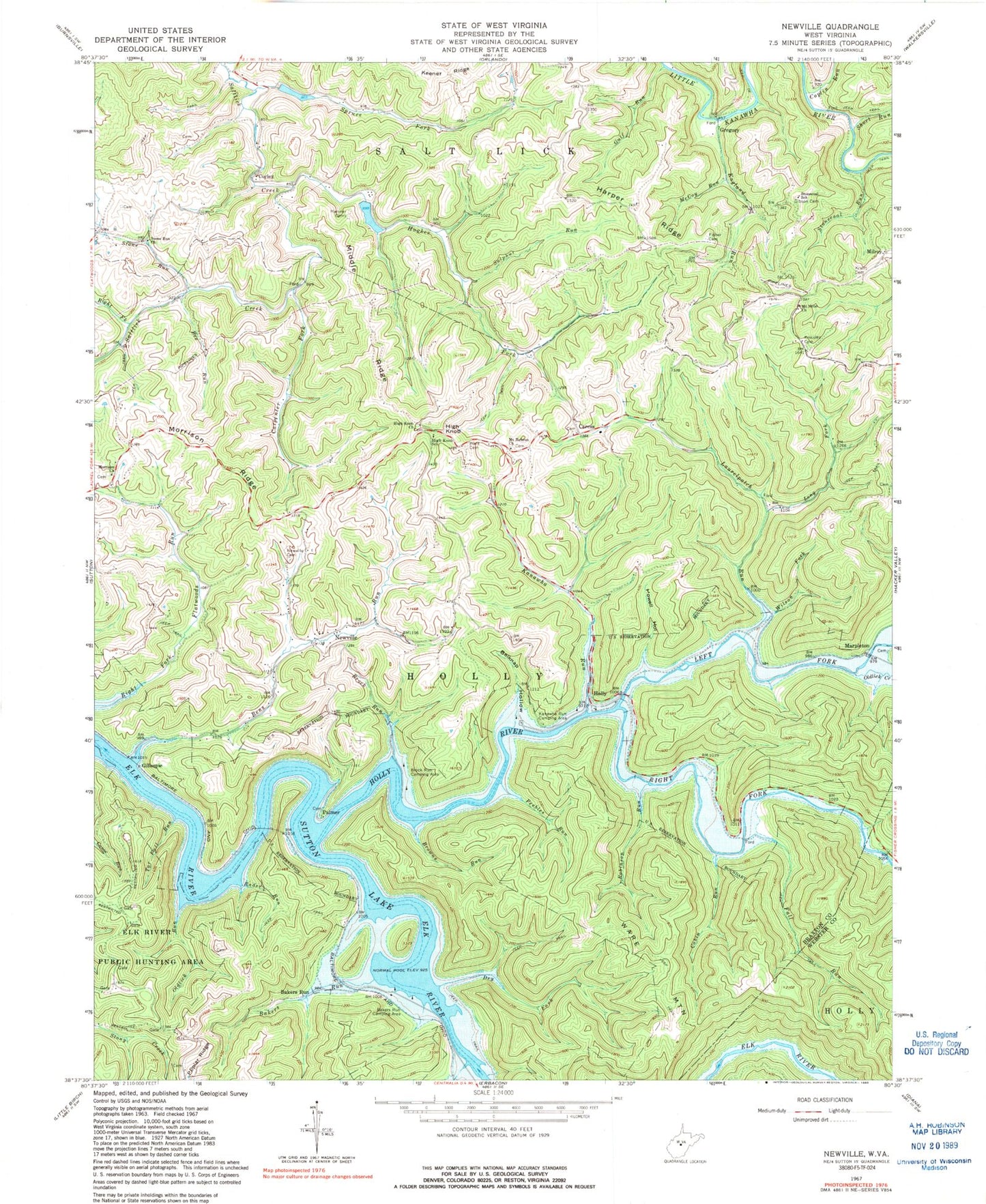
Classic USGS Newville West Virginia 7.5'x7.5' Topo Map
Couldn't load pickup availability
Historical USGS topographic quad map of Newville in the state of West Virginia. Map scale may vary for some years, but is generally around 1:24,000. Print size is approximately 24" x 27"
This quadrangle is in the following counties: Braxton, Webster.
The map contains contour lines, roads, rivers, towns, and lakes. Printed on high-quality waterproof paper with UV fade-resistant inks, and shipped rolled.
Contains the following named places: Bakers Run, Bakers Run Camping Area, Bee Run, Belknap Hollow, Bens Run, Brock Run, Brock Run Camping Area, Browns Run, Cabin Run, Caress, Carpenter Fork, Coplin Run, Corley, Dry Fork, Eastern District, England Run, Fall Run, Fisher Cemetery, Gerald R Freeman Bridge, Gibson Cemetery, Gillespie, Gregory, Gulf Run, Hamner Cemetery, Harper Ridge, High Knob, High Knob Church, High Knob Church Cemetery, High Knob School, Holly, Holly Junction, Holly River, Howell Hollow, Hughes Fork, Kanawha Run, Kanawha Run Camping Area, Kniceley Cemetery, Kraft Cemetery, Laurelpatch Run, Left Fork Holly River, Long Fork, Marpleton, McCoy Run, Middle Ridge, Mill Creek, Milroy, Morrison Church, Morrison Ridge, Morrison United Methodist Church Cemetery, Mount Hebron Cemetery, Mount Hebron Church, Mount Nebo Church, Newville, Newville Cemetery, Oldlick Creek, Oldlick Run, Palmer, Peebles Run, Rader Run, Right Fork Flatwoods Run, Right Fork Holly River, Right Fork Saltlick Creek, Robinson Run, Saltlick Creek Structure Number Eight Dam, Saltlick Creek Structure Number Seven Dam, Short Run, Spruce Fork, State of West Virginia, Stone Run, Stone Run Cemetery, Stone Run Church, Stonecoal Run, Stonecoal School, Sulphur Run, Sutton Lake, Tar Fall Run, Ware Cemetery, Ware Mountain, Wilson Fork, ZIP Code: 26621