
MyTopo
Classic USGS Nezperce Idaho 7.5'x7.5' Topo Map
Couldn't load pickup availability
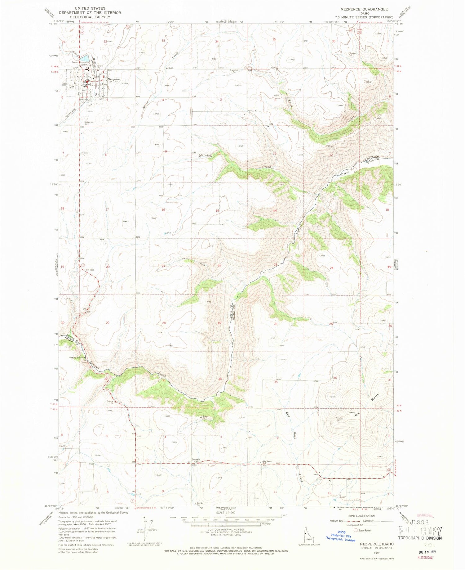
Historical USGS topographic quad map of Nezperce in the state of Idaho. Map scale may vary for some years, but is generally around 1:24,000. Print size is approximately 24" x 27"
This quadrangle is in the following counties: Idaho, Lewis.
The map contains contour lines, roads, rivers, towns, and lakes. Printed on high-quality waterproof paper with UV fade-resistant inks, and shipped rolled.
Contains the following named places: Big Butte, Big Butte School, City of Nezperce, Dryden, Lewis County Sheriff's Office, Mitchell Creek, Nez Perce Ambulance Service, Nez Perce City Fire Department, Nez Perce Division, Nez Perce Municipal Airport, Nez Perce Rural Fire Protection District, Nezperce, Nezperce Elementary School, Nezperce Junior - Senior High School, Nezperce Post Office, Syron Draw


