MyTopo
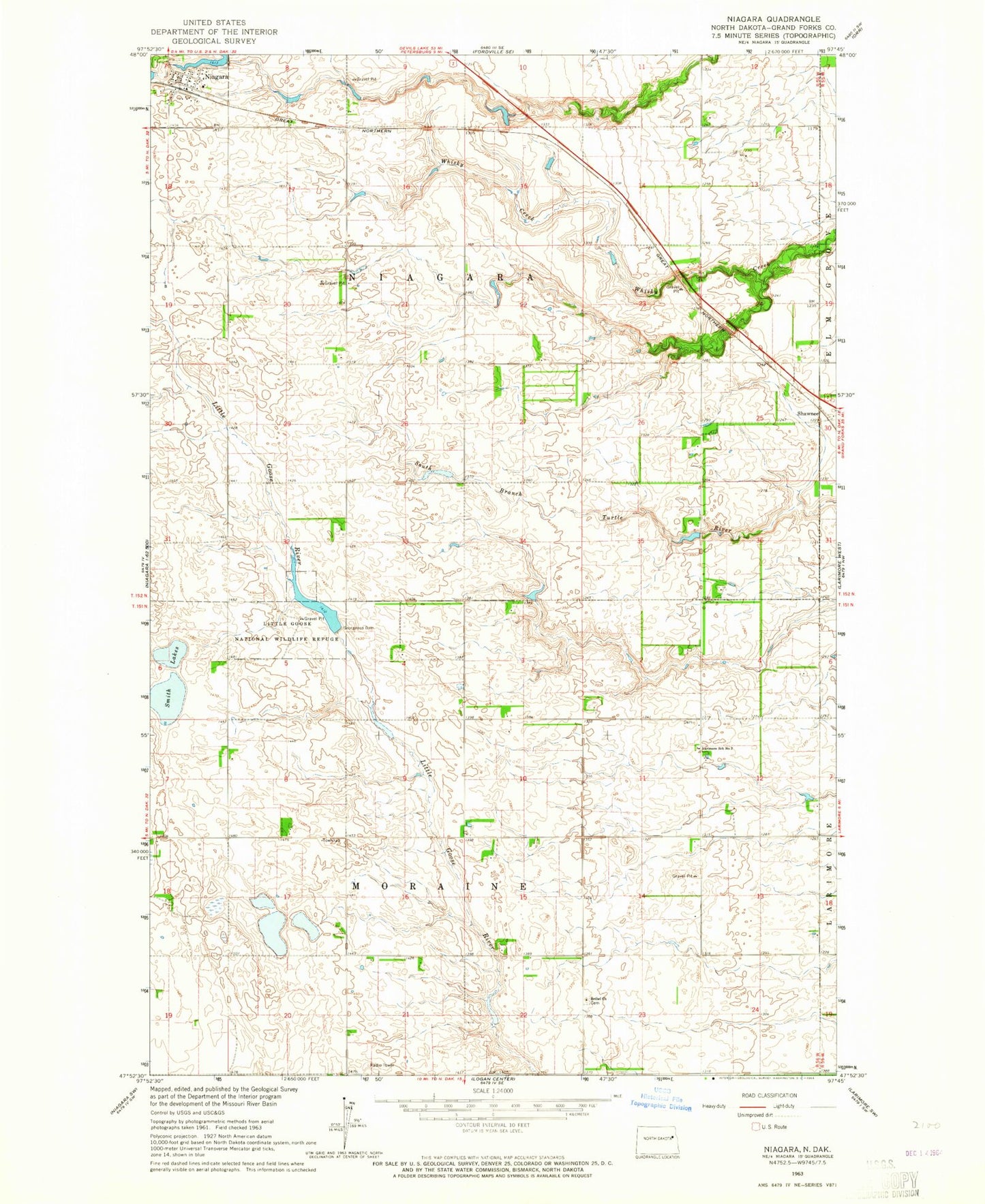
Classic USGS Niagara North Dakota 7.5'x7.5' Topo Map
Couldn't load pickup availability
Historical USGS topographic quad map of Niagara in the state of North Dakota. Map scale may vary for some years, but is generally around 1:24,000. Print size is approximately 24" x 27"
This quadrangle is in the following counties: Grand Forks.
The map contains contour lines, roads, rivers, towns, and lakes. Printed on high-quality waterproof paper with UV fade-resistant inks, and shipped rolled.
Contains the following named places: Bethel Church, Bethel Lutheran Cemetery, City of Niagara, Georgeson Dam, Larimore School Number 2, Little Goose Dam, Little Goose Lake, Little Goose National Wildlife Refuge, Niagara, Niagara Dam, Niagara Post Office, Niagara Rural Fire Station, Shawnee, Smith Lakes, Township of Moraine, Township of Niagara, Upper Turtle River Number 5 Dam, Upper Turtle River Number 7 Dam, Upper Tuttle River Number 6 Dam