MyTopo
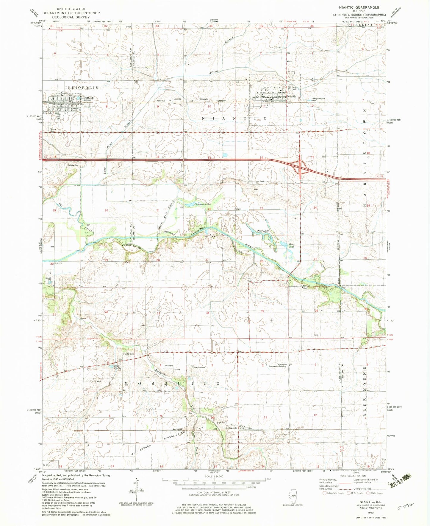
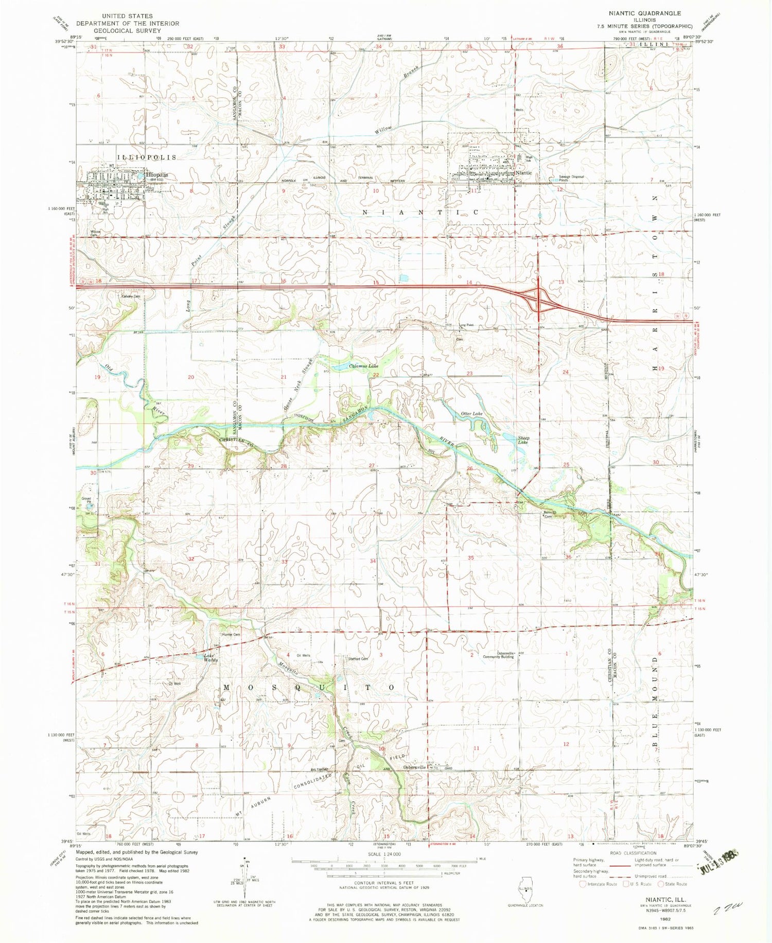
Classic USGS Niantic Illinois 7.5'x7.5' Topo Map
Couldn't load pickup availability
Historical USGS topographic quad map of Niantic in the state of Illinois. Map scale may vary for some years, but is generally around 1:24,000. Print size is approximately 24" x 27"
This quadrangle is in the following counties: Christian, Macon, Sangamon.
The map contains contour lines, roads, rivers, towns, and lakes. Printed on high-quality waterproof paper with UV fade-resistant inks, and shipped rolled.
Contains the following named places: Berea Cemetery, Berea Church, Calamus Lake, Calamus Lake Nature Preserve, Calvary Cemetery, Darmer Cemetery, Goose Neck Slough, Hunter Cemetery, Illiopolis, Illiopolis Fire Protection District, Illiopolis High School, Illiopolis Post Office, Illiopolis Village Police Department, Lake Waddy, Long Point Cemetery, Long Point Church, Long Point Slough, Niantic, Niantic Fire Protection District, Niantic Post Office, Niantic-Harristown High School, Osbernville, Osbernville Community Building, Otter Lake, Sheep Lake, Simmons Farm, Stafford Cemetery, Township of Mosquito, Township of Niantic, Village of Niantic, Wilcox Cemetery, Willow Branch, ZIP Codes: 62547, 62551