MyTopo
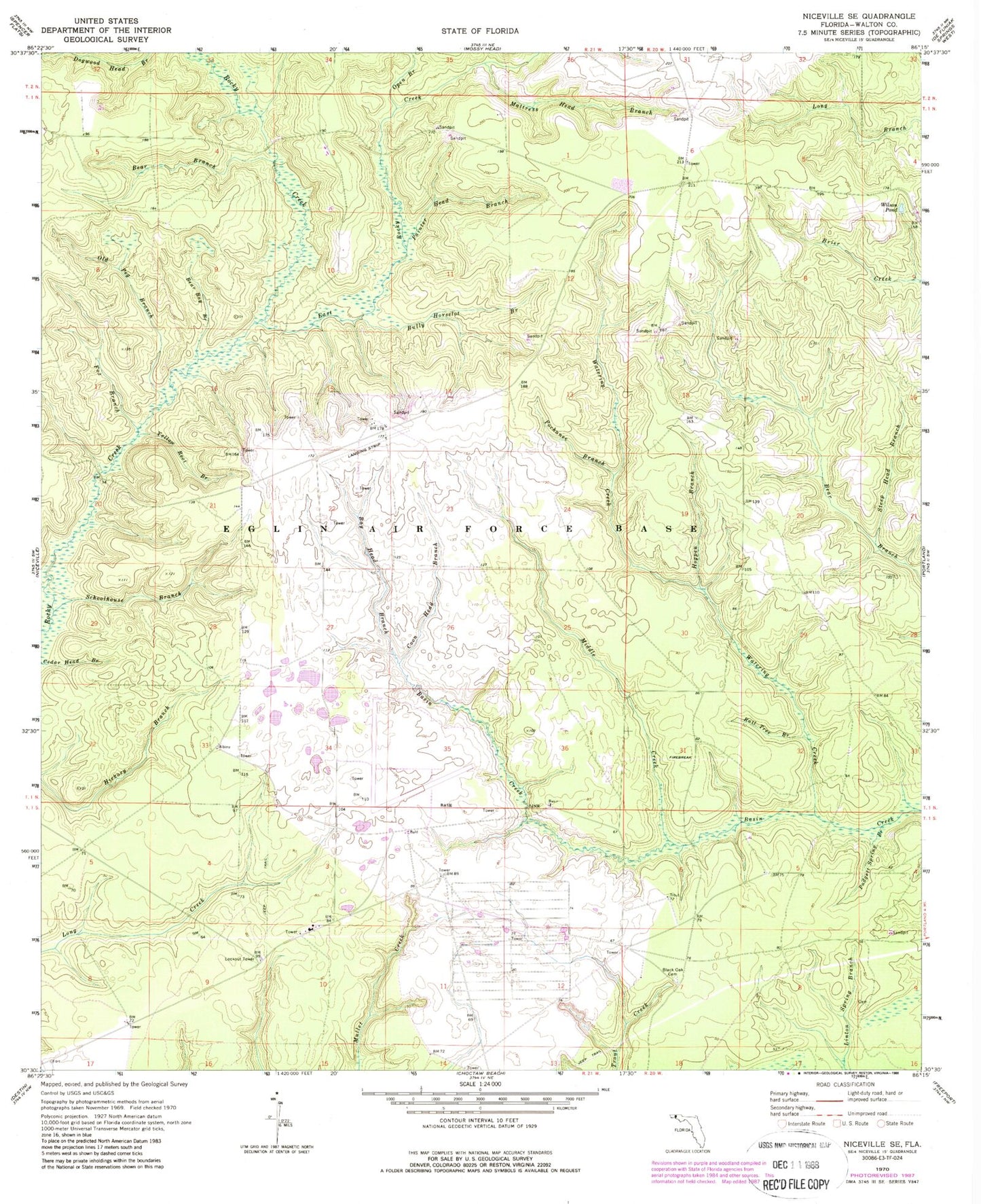
Classic USGS Niceville SE Florida 7.5'x7.5' Topo Map
Couldn't load pickup availability
Historical USGS topographic quad map of Niceville SE in the state of Florida. Map scale may vary for some years, but is generally around 1:24,000. Print size is approximately 24" x 27"
This quadrangle is in the following counties: Walton.
The map contains contour lines, roads, rivers, towns, and lakes. Printed on high-quality waterproof paper with UV fade-resistant inks, and shipped rolled.
Contains the following named places: Bay Head Branch, Bear Bay Branch, Bear Branch, Black Oak Cemetery, Brown Cemetery, Bully Horselot Branch, Coon Head Branch, East Rocky Creek, Fox Branch, Hewas Cemetery, Hogpen Branch, Mattress Head Branch, Middle Creek, Old Peg Branch, Open Branch, Padgett Spring Branch, Painter Horselot Branch, Pochanee Branch, Rail Tree Branch, Schoolhouse Branch, Steep Head Branch, Watering Creek, Wilson Pond, Yellow Root Branch