MyTopo
Classic USGS Nichols Canyon New Mexico 7.5'x7.5' Topo Map
Couldn't load pickup availability
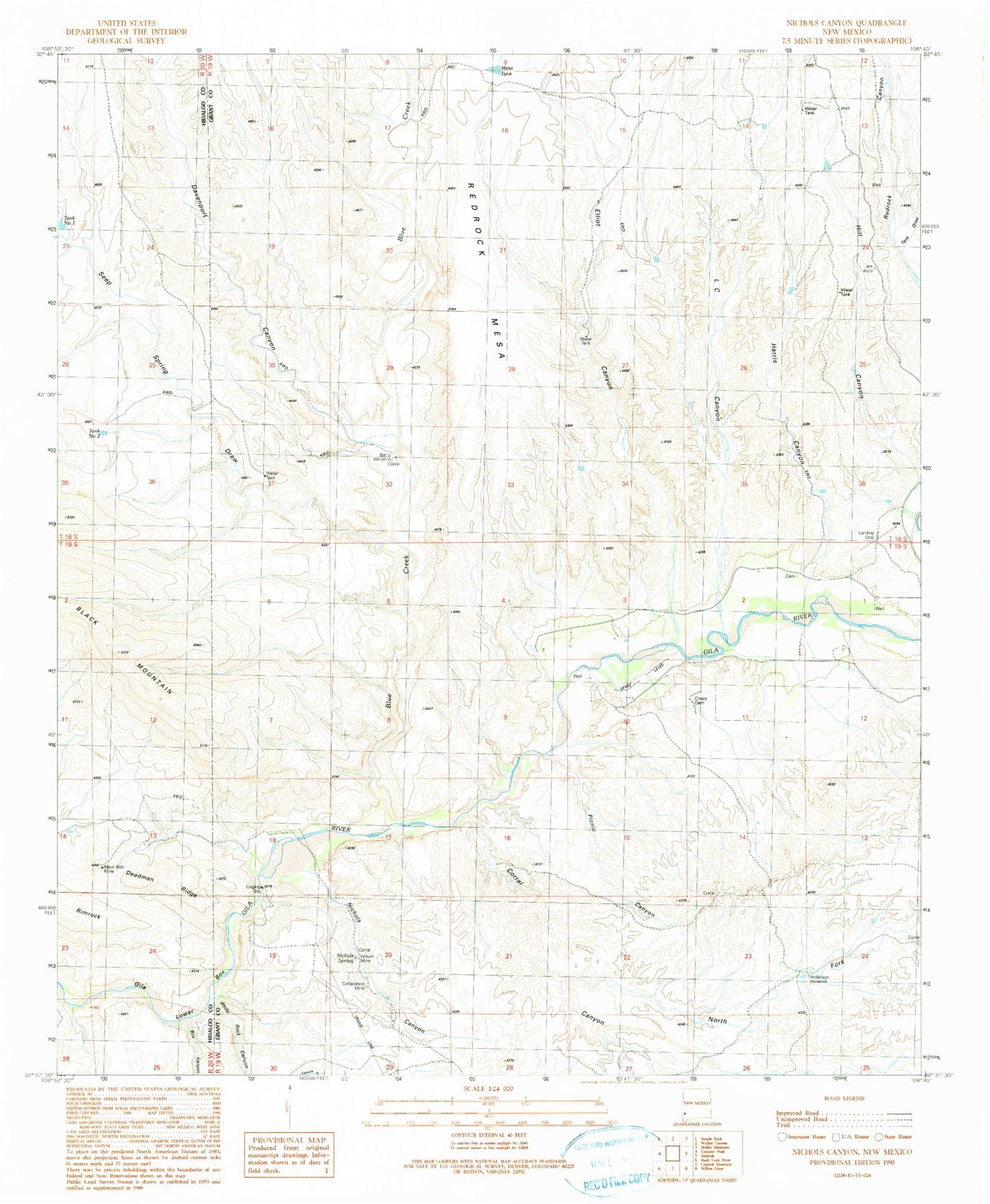
Historical USGS topographic quad map of Nichols Canyon in the state of New Mexico. Map scale may vary for some years, but is generally around 1:24,000. Print size is approximately 24" x 27"
This quadrangle is in the following counties: Grant, Hidalgo.
The map contains contour lines, roads, rivers, towns, and lakes. Printed on high-quality waterproof paper with UV fade-resistant inks, and shipped rolled.
Contains the following named places: Anderson Windmill, Bar U Windmill, Black Bob Group Mine, Black Bob Mine, Blue Creek, Box Canyon, Consolation Mine, Corral Canyon, Davenport Canyon, Deadman Ridge, Elliot Canyon, Harris Canyon, Hill Canyon, L C Canyon, McHaffey Windmill, Mesa Tank, Nichols Canyon, Nichols Spring, North Fork Corral Canyon, Picnic Canyon, Remington Lode, Road Canyon, Seep Spring Draw, Tank Draw, Tank Number Two, White Rock Canyon, Wilson Mine, Winnie Claim