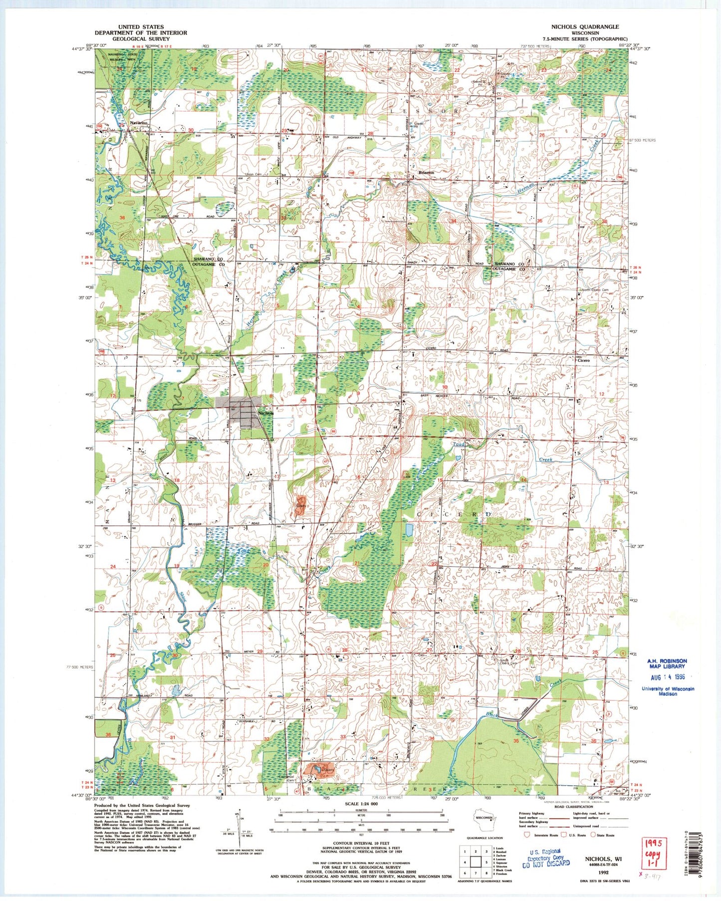
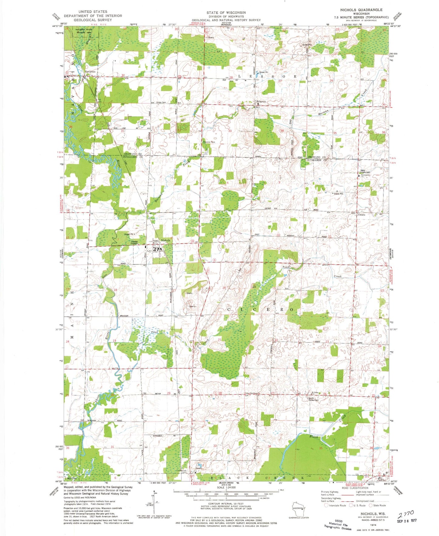
MyTopo
Classic USGS Nichols Wisconsin 7.5'x7.5' Topo Map
Couldn't load pickup availability
Historical USGS topographic quad map of Nichols in the state of Wisconsin. Map scale may vary for some years, but is generally around 1:24,000. Print size is approximately 24" x 27"
This quadrangle is in the following counties: Outagamie, Shawano.
The map contains contour lines, roads, rivers, towns, and lakes. Printed on high-quality waterproof paper with UV fade-resistant inks, and shipped rolled.
Contains the following named places: Briarton, Cicero, Emmanuel Church, Herman Creek, Immanuel Lutheran Cemetery, Mink Creek, Navarino, Navarino Census Designated Place, Navarino Lessor Fire Department, Nichols, Nichols Post Office, Nichols Rural Fire Department, Nichols Wastewater Treatment Facility, North Cicero Cemetery, Saint Johns Church, South Cicero Cemetery, Spring Brook School, Sunny Nook School, Sunny Valley School, Toad Creek, Town of Cicero, Union Cemetery, United Brethren Church, Village of Nichols