MyTopo
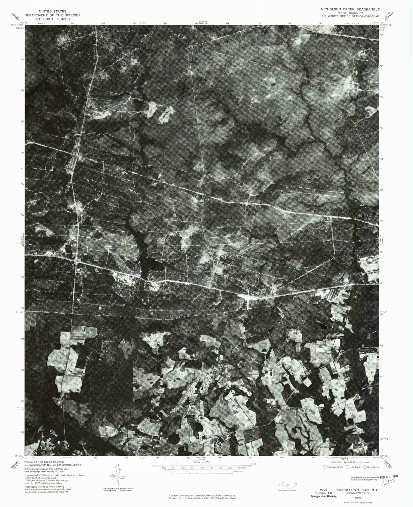
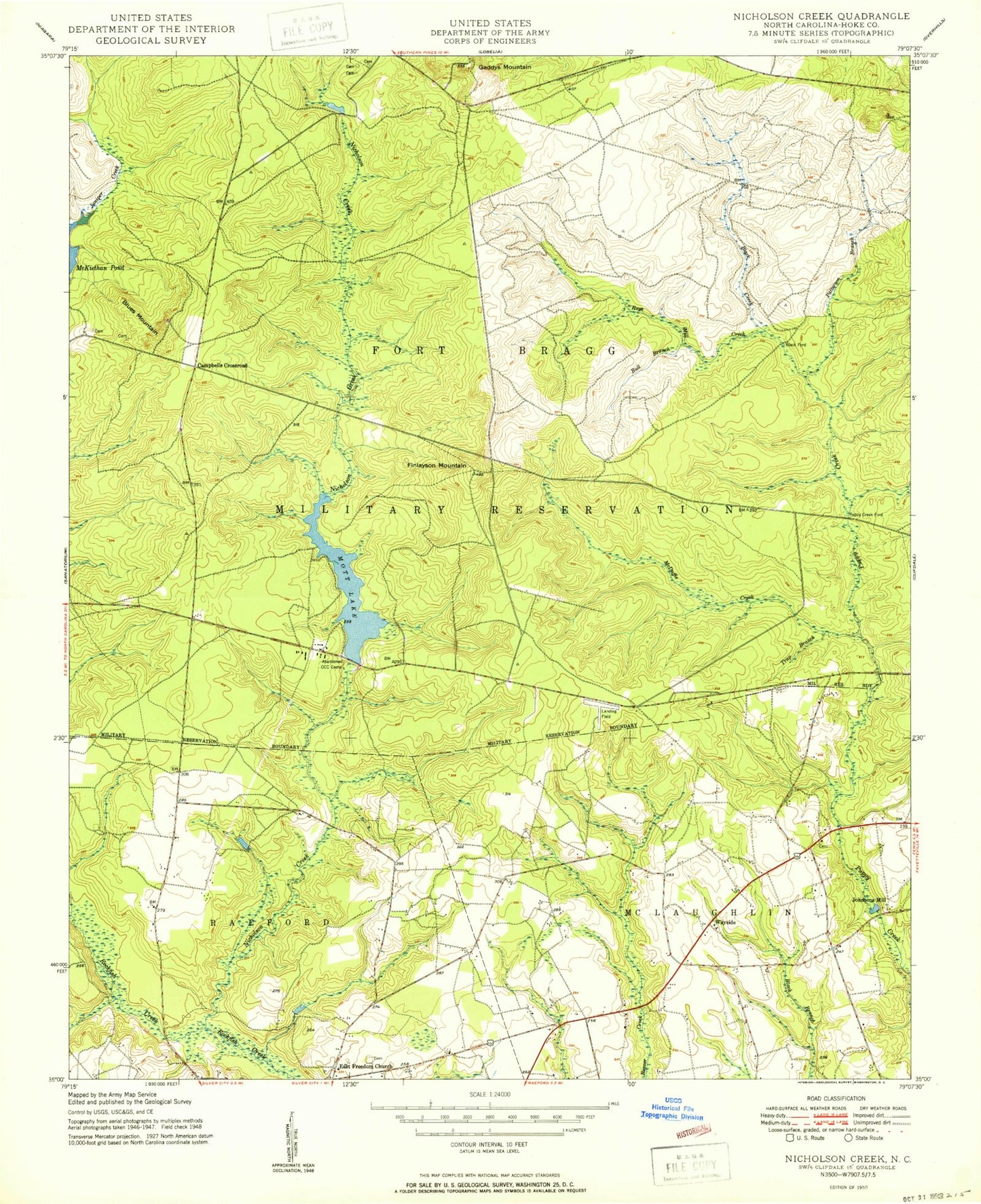
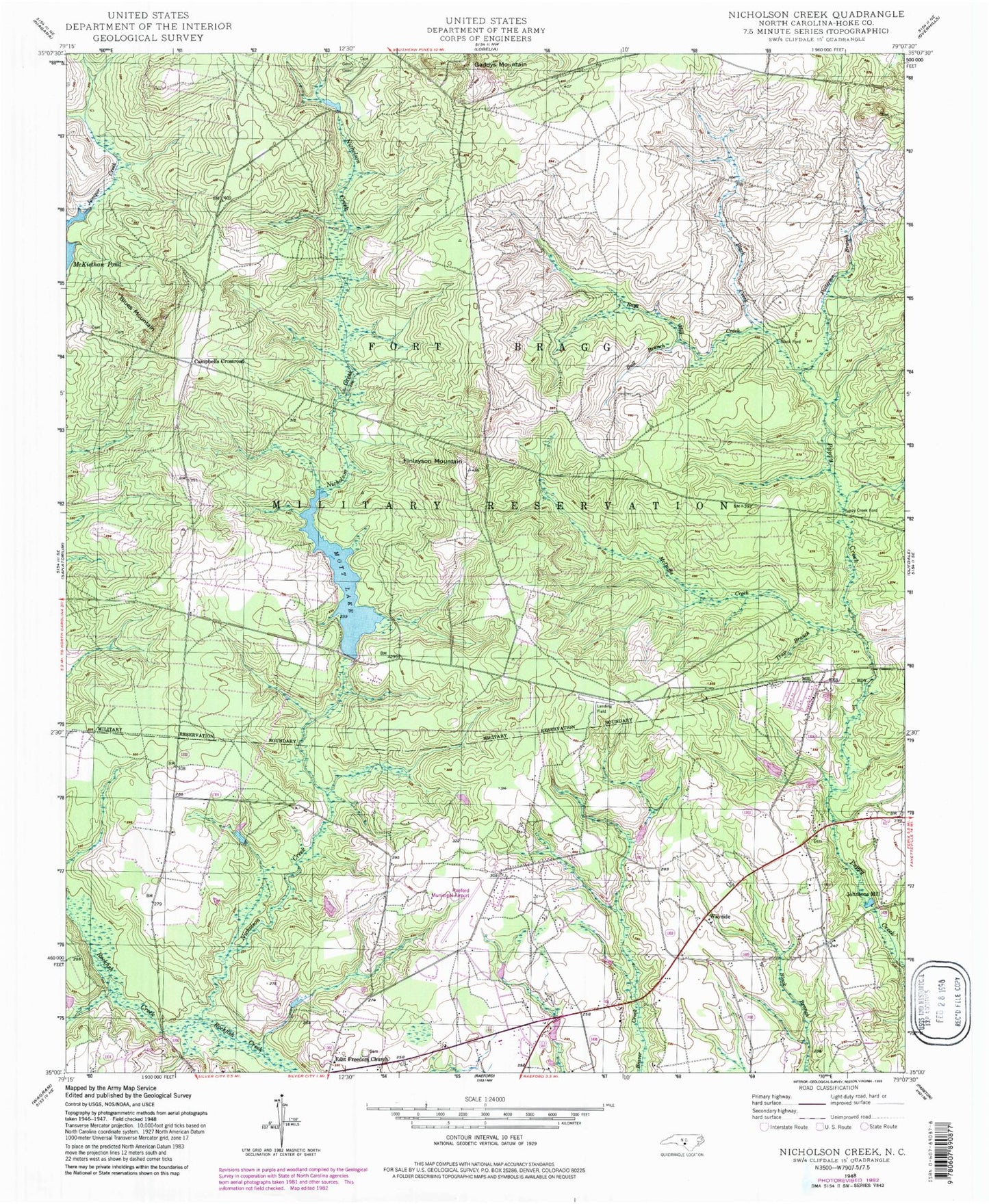
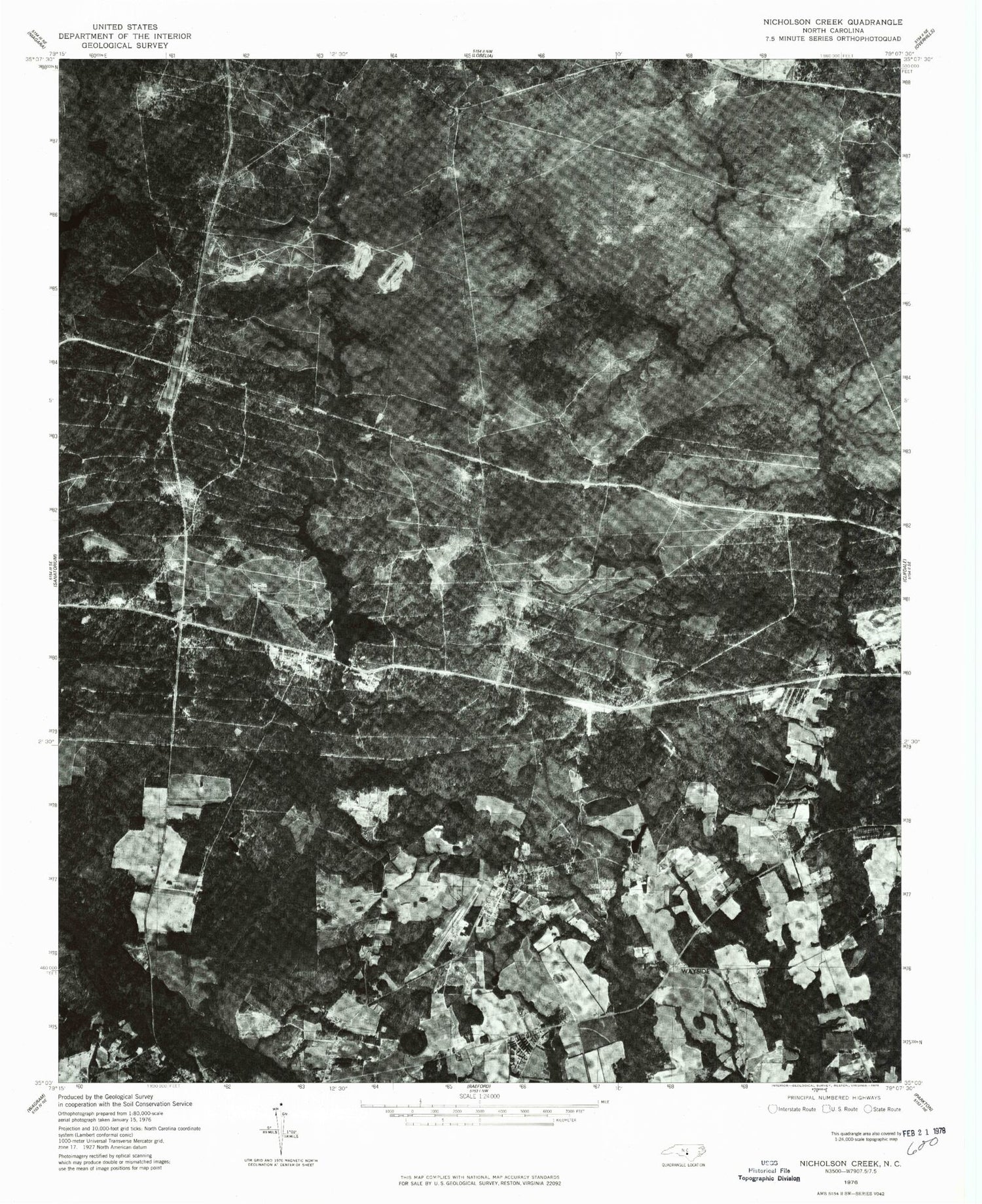
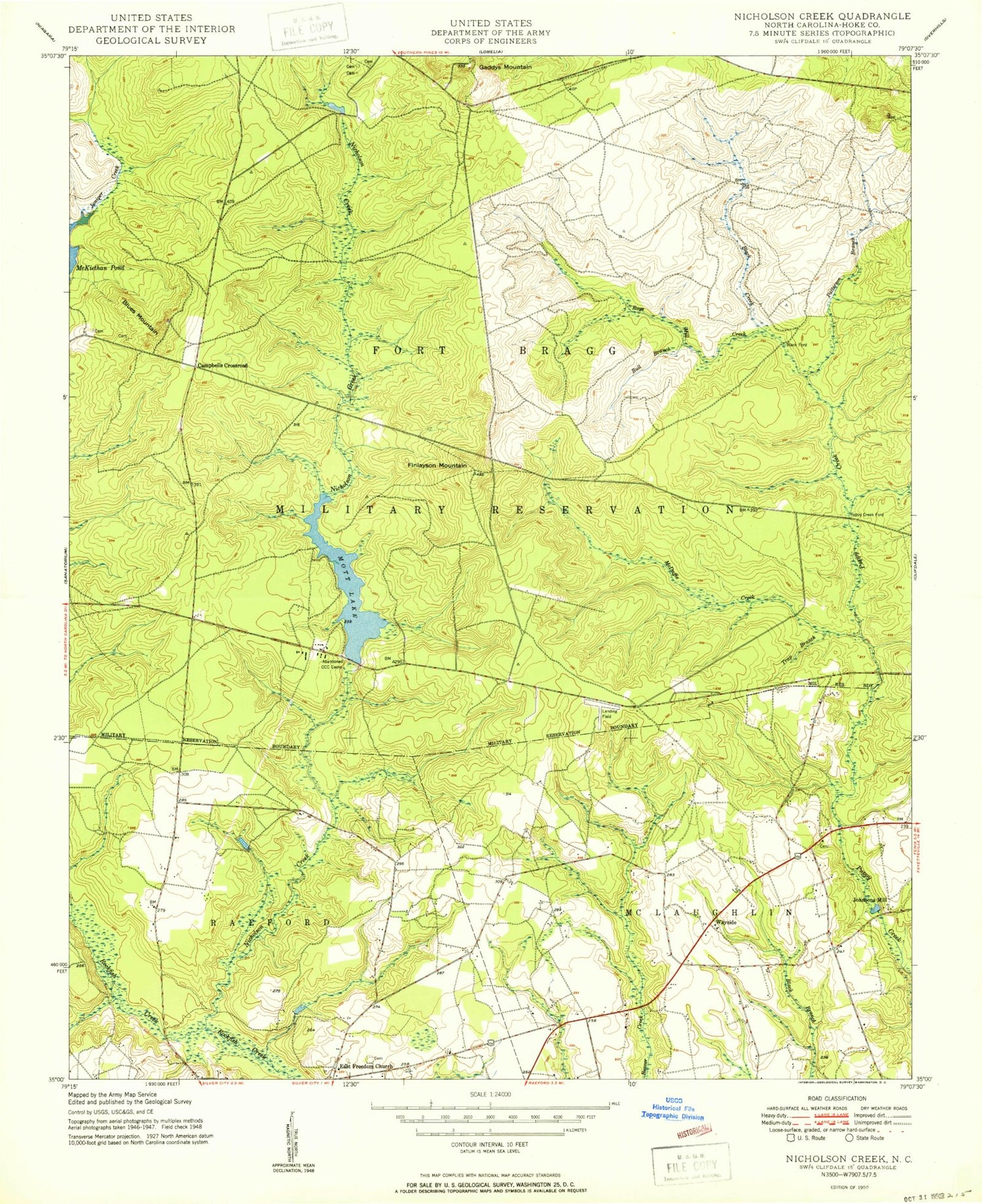
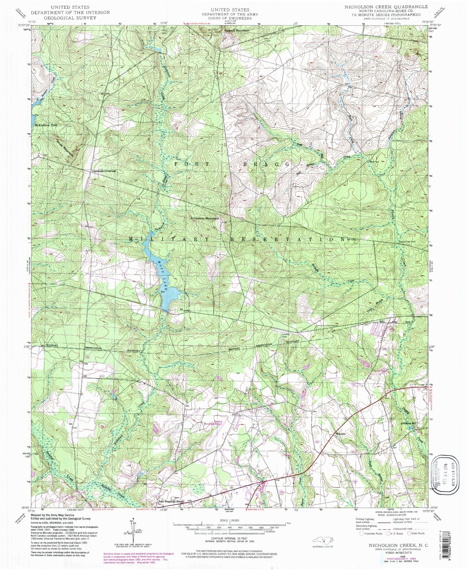
Classic USGS Nicholson Creek North Carolina 7.5'x7.5' Topo Map
Couldn't load pickup availability
Historical USGS topographic quad map of Nicholson Creek in the state of North Carolina. Typical map scale is 1:24,000, but may vary for certain years, if available. Print size: 24" x 27"
This quadrangle is in the following counties: Hoke.
The map contains contour lines, roads, rivers, towns, and lakes. Printed on high-quality waterproof paper with UV fade-resistant inks, and shipped rolled.
Contains the following named places: Black Creek, Bull Branch, East Freedom Church, Finlayson Mountain, McDuffie Creek, Mott Lake, Nicholson Creek, Patterson Branch, Rays Creek, Trap Branch, Wayside, P K Airpark, NC Noname Thirty-Four Dam, Hoke County, Black Ford, Blues Mountain, Campbells Crossroad, Gaddys Mountain, Johnsons Mill, Puppy Creek Ford, Township of Fort Bragg Military Reservation, North Raeford Fire Department, Raeford West Airport, Black Creek, Bull Branch, East Freedom Church, Finlayson Mountain, McDuffie Creek, Mott Lake, Nicholson Creek, Patterson Branch, Rays Creek, Trap Branch, Wayside, P K Airpark, NC Noname Thirty-Four Dam, Hoke County, Black Ford, Blues Mountain, Campbells Crossroad, Gaddys Mountain, Johnsons Mill, Puppy Creek Ford, Township of Fort Bragg Military Reservation, North Raeford Fire Department, Raeford West Airport
