MyTopo
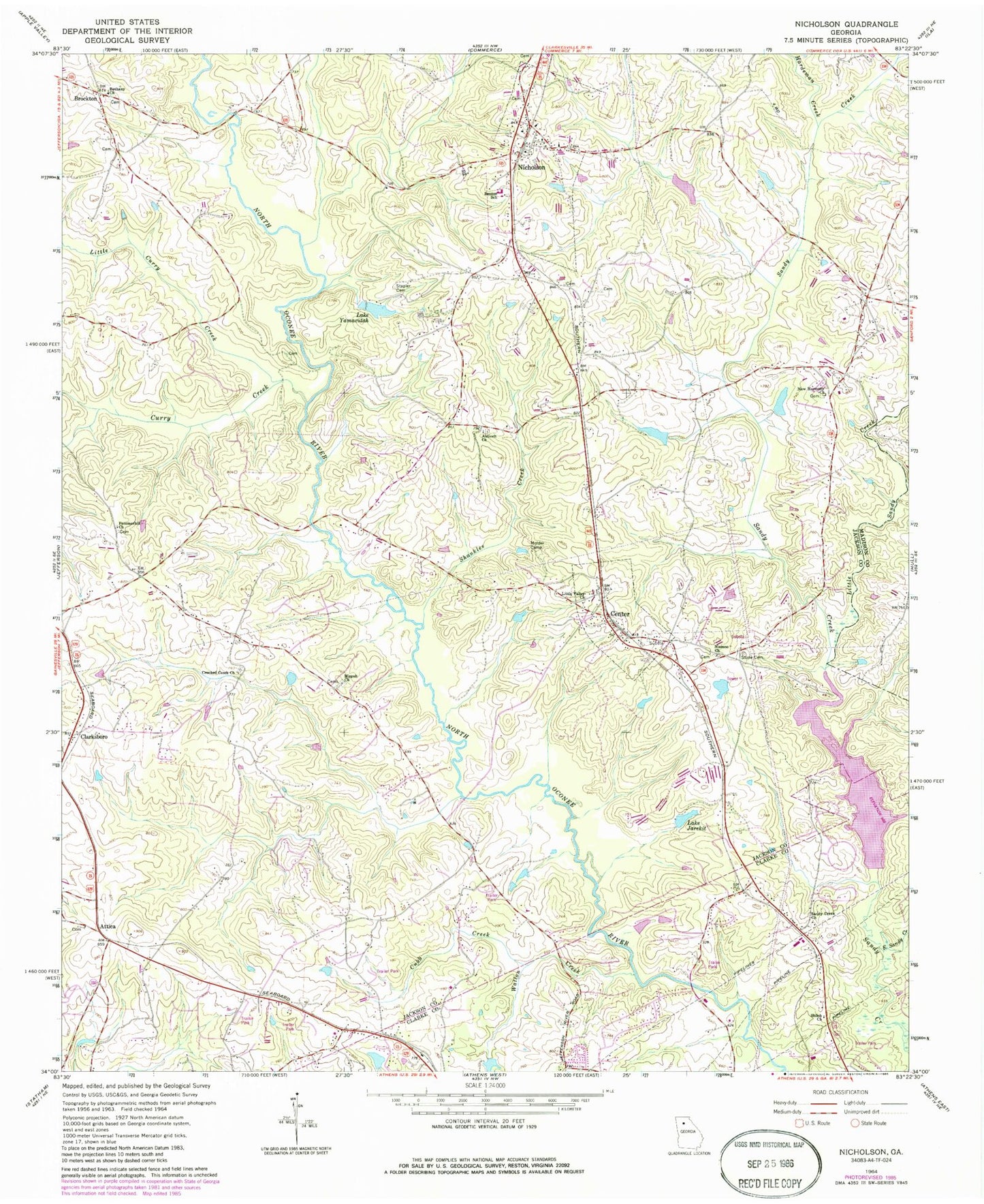
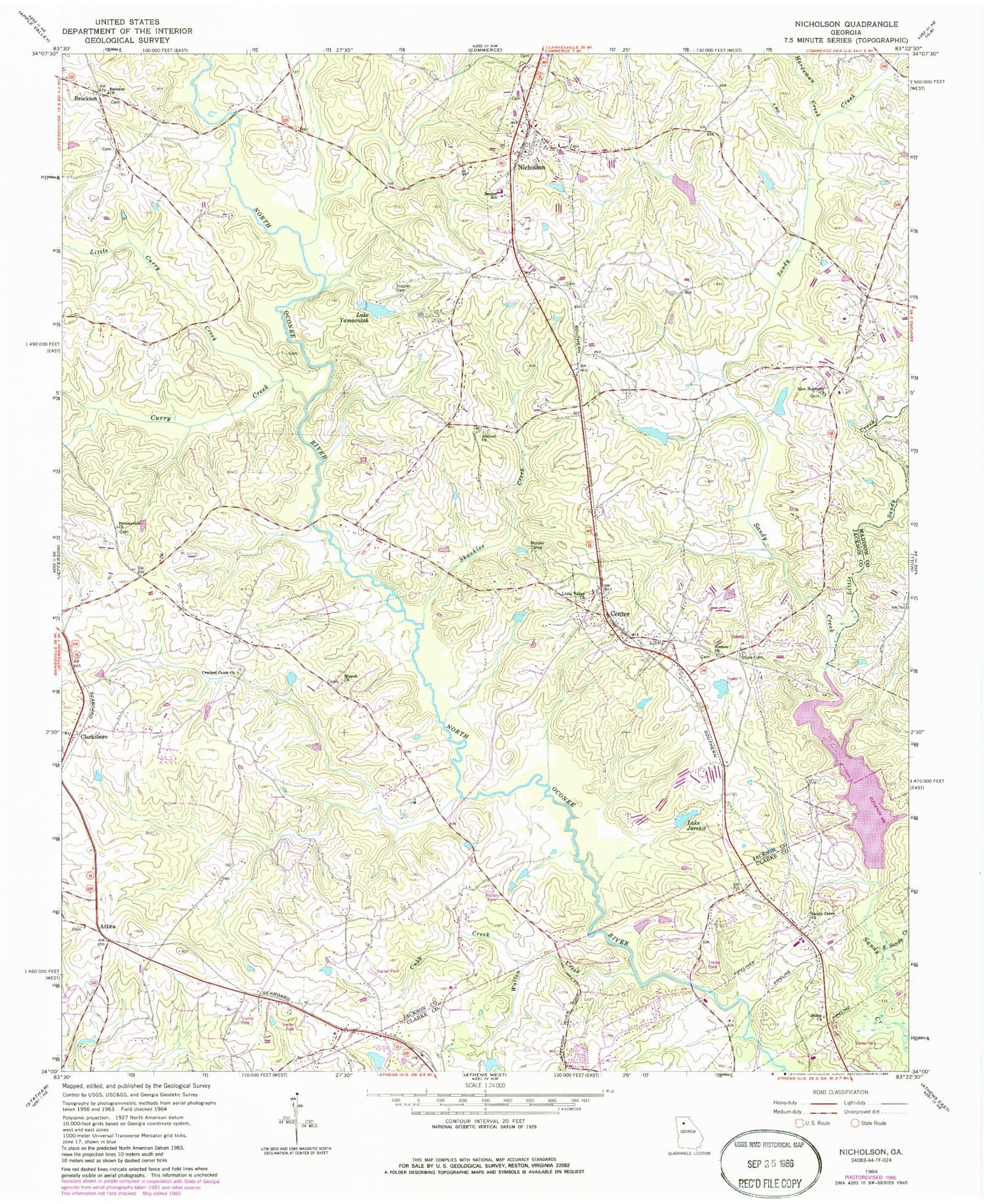
Classic USGS Nicholson Georgia 7.5'x7.5' Topo Map
Couldn't load pickup availability
Historical USGS topographic quad map of Nicholson in the state of Georgia. Map scale may vary for some years, but is generally around 1:24,000. Print size is approximately 24" x 27"
This quadrangle is in the following counties: Clarke, Jackson, Madison.
The map contains contour lines, roads, rivers, towns, and lakes. Printed on high-quality waterproof paper with UV fade-resistant inks, and shipped rolled.
Contains the following named places: Antioch Cemetery, Antioch Church, Archers Grove Church, Archers Grove School, Attica, Attica Baptist Cemetery, Attica Baptist Church, Benton Elementary School, Bethany Cemetery, Bethany Church, Bishop Dam, Bishop Lake, Bishops Lake, Bishops Lake Dam, Brockton, Cabin Creek, Center, Center Cemetery, Center Methodist Church, City of Nicholson, Clarksboro, Crooked Creek, Crooked Creek Cemetery, Crooked Creek Church, Cubb Creek, Curry Creek, Dam Number 10, East Sandy Creek, Hamilton Trailer Park, Hardeman Creek, Jarrett Lake, Jarrett Lake Dam, Kings Bridge Middle School, Lake Jarekit, Lake Jarekit Dam, Lake Yamacutah, Lake Yamacutah Dam, Little Curry Creek, Little Sandy Creek, Little Valley Church, Mizpah Cemetery, Mizpah Church, Molder Camp, New Harmony Cemetery, New Harmony Church, Newton Bridge, Nicholson, Nicholson Area Volunteer Fire Department, Nicholson Area Volunteer Fire Department Station 2, Nicholson City Cemetery, Nicholson Division, Nicholson Post Office, Niemmo Cemetery, Niemno Church, Northridge, Pommerhill Church, Red Stone School, Reservoir Eight, Sandy Creek Church, Sandy Creek Park, Sandy Creek Structure Eight Dam, Shankles Creek, Shiloh Church, South Jackson Elementary School, South Jackson Fire Department Station 2, South Jackson Volunteer Fire Department, Stapler Cemetery, Stone Cemetery, Summer Hill Cemetery, Walton Creek, WBKZ-AM (Jefferson), ZIP Codes: 30565, 30607


