MyTopo
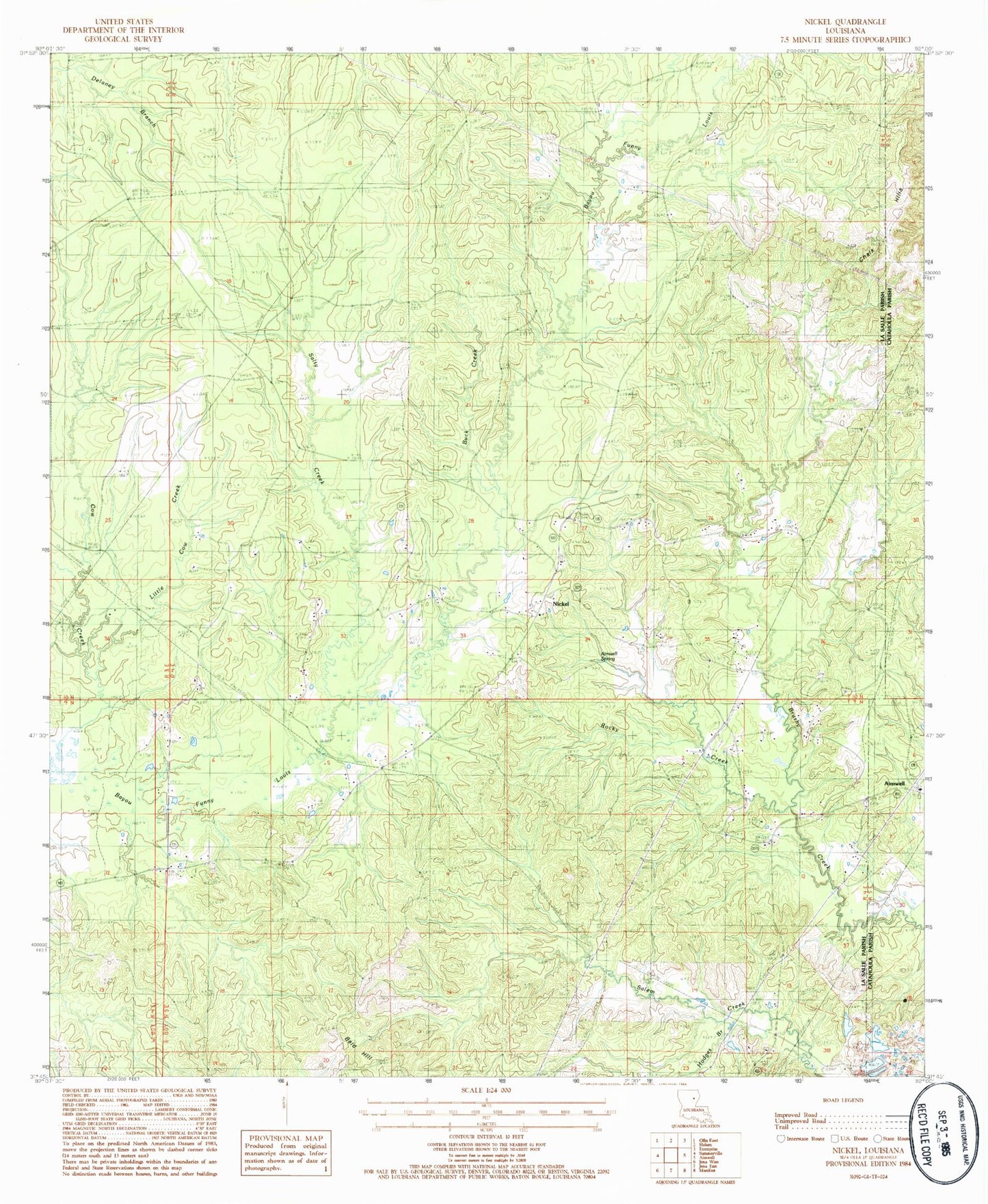
Classic USGS Nickel Louisiana 7.5'x7.5' Topo Map
Couldn't load pickup availability
Historical USGS topographic quad map of Nickel in the state of Louisiana. Map scale may vary for some years, but is generally around 1:24,000. Print size is approximately 24" x 27"
This quadrangle is in the following counties: Catahoula, LaSalle.
The map contains contour lines, roads, rivers, towns, and lakes. Printed on high-quality waterproof paper with UV fade-resistant inks, and shipped rolled.
Contains the following named places: Aimoch Baptist Church, Aimoch School, Aimwell Spring, Antioch Cemetery, Antioch Free Methodist Church, Antioch School, Bald Hill, Buck Creek, Cow Creek, Fisher Cemetery, Hodges Branch, Little Brushley Church, Little Cow Creek, Little Creek, Mount Zion Cemetery, Mount Zion Church, Nickel, Parish Governing Authority District 1, Randall Cemetery, Rocky Creek, Rosefield School, Salty Creek, Summerville - Rosefield Volunteer Fire Department, Ward One, Wilbanks Cemetery