MyTopo
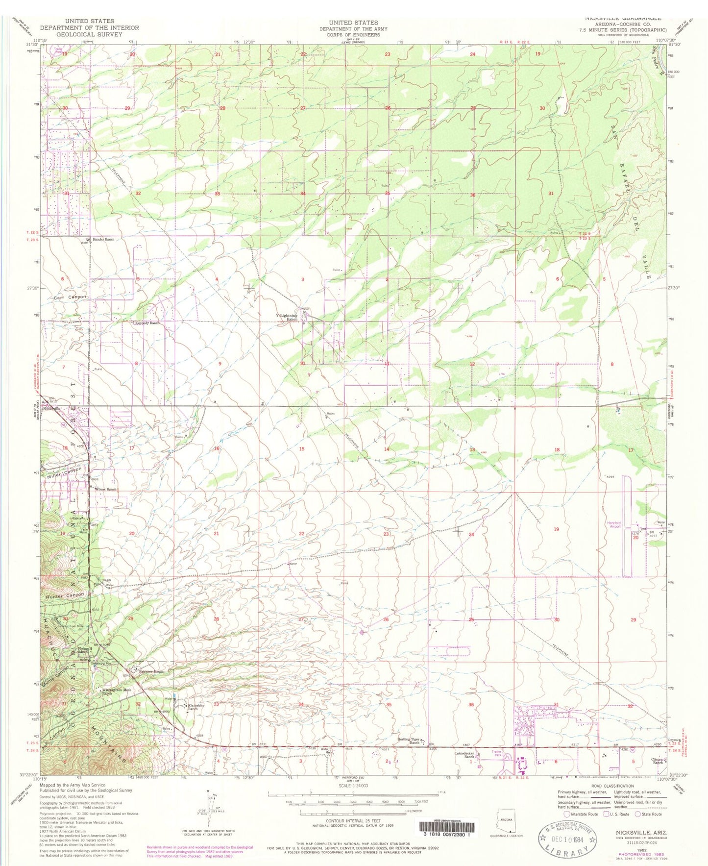
Classic USGS Nicksville Arizona 7.5'x7.5' Topo Map
Couldn't load pickup availability
Historical USGS topographic quad map of Nicksville in the state of Arizona. Typical map scale is 1:24,000, but may vary for certain years, if available. Print size: 24" x 27"
This quadrangle is in the following counties: Cochise.
The map contains contour lines, roads, rivers, towns, and lakes. Printed on high-quality waterproof paper with UV fade-resistant inks, and shipped rolled.
Contains the following named places: Ash Canyon, Baumkirchner Mine, Carr Canyon, Clinton Ranch, Fairview Ranch, Flying H Ranch, Hunter Canyon, Kennedy Ranch, Kinjockity Ranch, Leinedecker Ranch, Miller Canyon, Nicksville, Rambo Ranch, Smiling Tiger Ranch, Stump Canyon, Wilcox Ranch, Wintergreen Mink Ranch, Y-Lightning Ranch, Hereford Airport (historical), Miracle Valley, Carr Canyon Forest Service Barn, Hereford Army Air Field (historical), Sierra Vista Southeast Census Designated Place, Coronado Elementary School, Miracle Valley Bible College and Seminary, Valley View Elementary School, Miracle Valley Census Designated Place, Hereford Post Office, Air Haven Mobile Home Estates, Grace Presbyterian Church, Sierra Springs Church, Hunters Corral, Thompsons Corral


