MyTopo
Classic USGS Nickwall Montana 7.5'x7.5' Topo Map
Couldn't load pickup availability
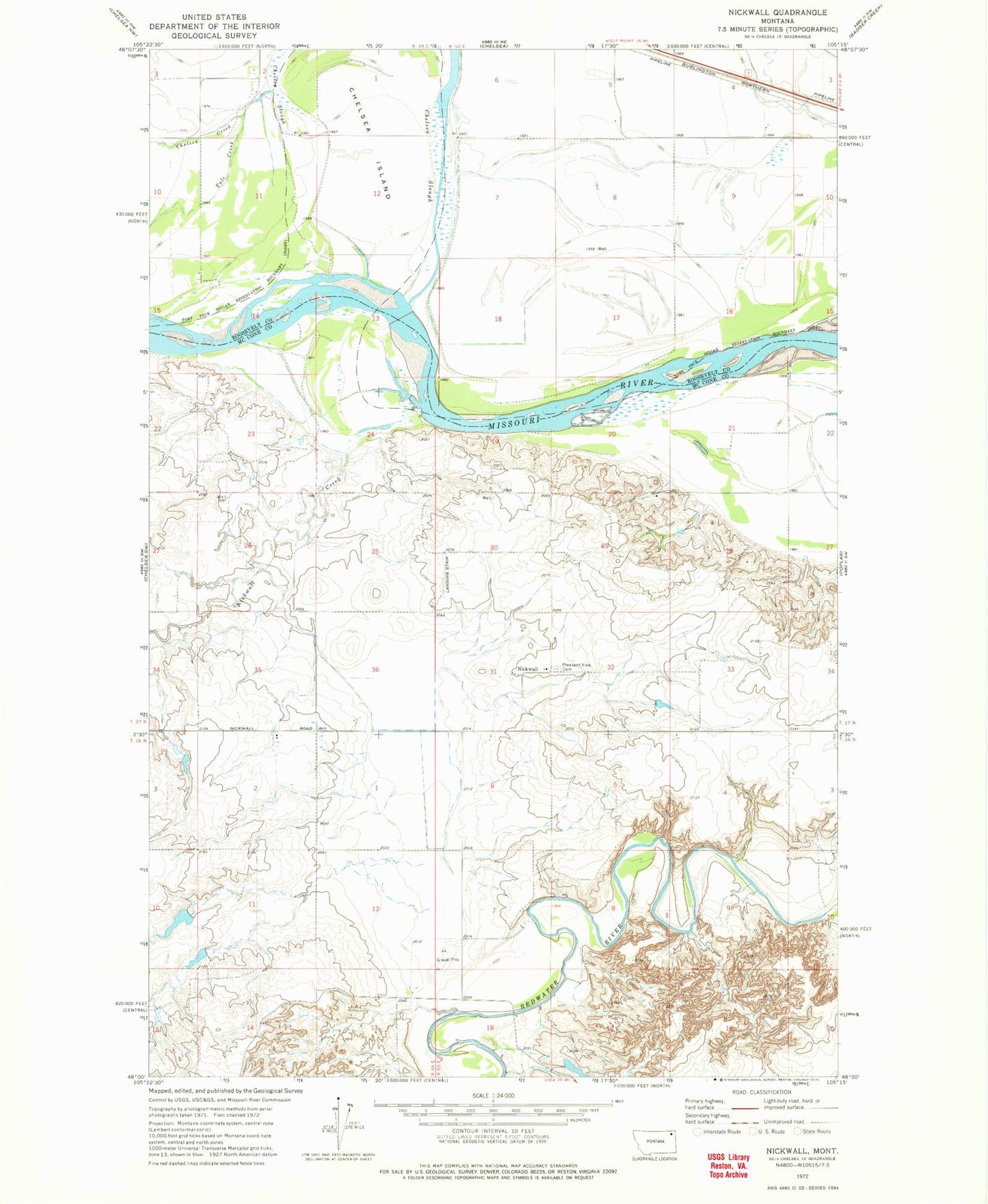
Historical USGS topographic quad map of Nickwall in the state of Montana. Map scale may vary for some years, but is generally around 1:24,000. Print size is approximately 24" x 27"
This quadrangle is in the following counties: McCone, Roosevelt.
The map contains contour lines, roads, rivers, towns, and lakes. Printed on high-quality waterproof paper with UV fade-resistant inks, and shipped rolled.
Contains the following named places: 26N49E13ACAB01 Well, 27N49E02BD__01 Well, 27N49E02BD__02 Well, 27N49E02CAAD01 Well, 27N49E02DB__01 Well, 27N49E10AA__01 Well, 27N49E10DA__01 Well, 27N49E11BC__01 Well, 27N49E14BB__01 Well, 27N49E14BB__02 Well, 27N50E05CD__01 Well, 27N50E07BB__01 Well, 27N50E08CC__01 Well, 27N50E08CD__01 Well, 27N50E09BB__01 Well, 27N50E10CD__01 Well, 27N50E20DB__01 Well, 27N50E22BC__01 Well, 27N50E22BCCC01 Well, 27N50E27BA__01 Well, Chelsea Creek, Chelsea Island, Nickwall, Nickwall Creek, Nickwall Post Office, Nickwall School, Pleasant View Cemetery, Rermley Creek, Shefelbine Dam, Tule Creek, W Miller Dam, W Miller Number 1 Dam