MyTopo
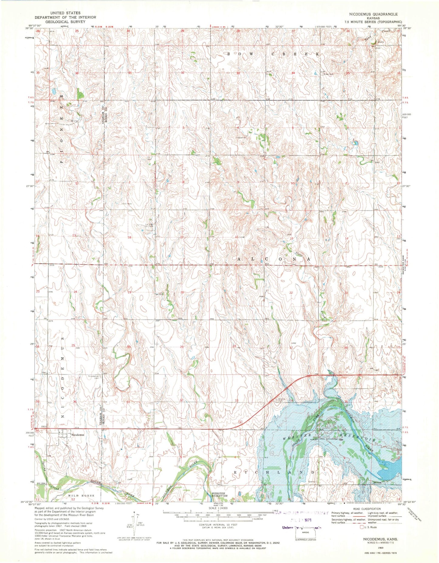
Classic USGS Nicodemus Kansas 7.5'x7.5' Topo Map
Couldn't load pickup availability
Historical USGS topographic quad map of Nicodemus in the state of Kansas. Map scale may vary for some years, but is generally around 1:24,000. Print size is approximately 24" x 27"
This quadrangle is in the following counties: Graham, Rooks.
The map contains contour lines, roads, rivers, towns, and lakes. Printed on high-quality waterproof paper with UV fade-resistant inks, and shipped rolled.
Contains the following named places: Alcona, First Baptist Church, Gould City, La Sage Oil Field, Nicodemus, Nicodemus Cemetery, Nicodemus Census Designated Place, Nicodemus National Historic Site, Nicodemus Township Number 1 Wastewater Treatment Plant, Slate, Slate Cemetery, Slate Creek, Spring Creek, Township 5, Webster Reservoir, Webster Wildlife Area