MyTopo
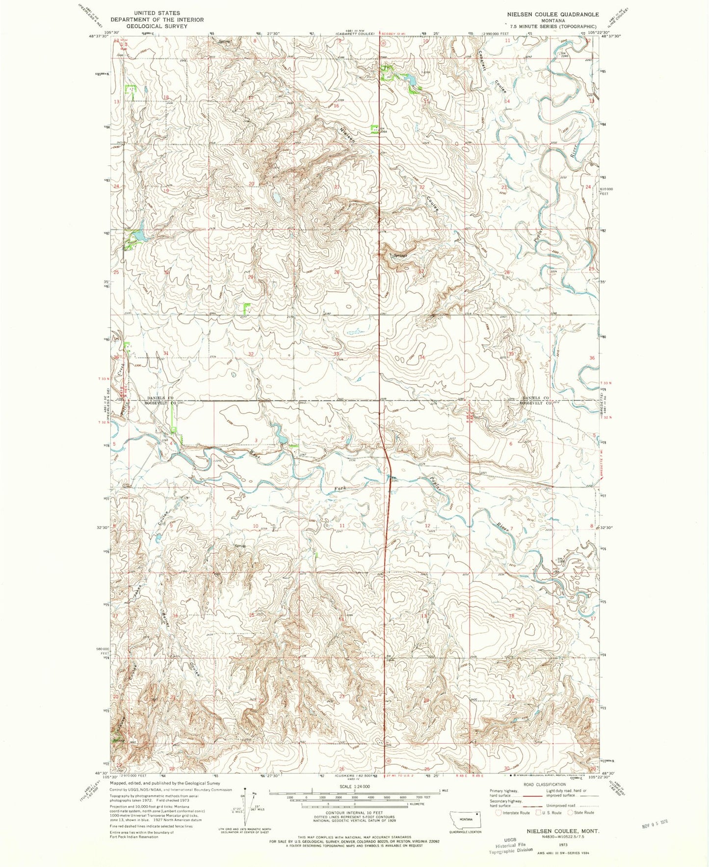
Classic USGS Nielsen Coulee Montana 7.5'x7.5' Topo Map
Couldn't load pickup availability
Historical USGS topographic quad map of Nielsen Coulee in the state of Montana. Map scale may vary for some years, but is generally around 1:24,000. Print size is approximately 24" x 27"
This quadrangle is in the following counties: Daniels, Roosevelt.
The map contains contour lines, roads, rivers, towns, and lakes. Printed on high-quality waterproof paper with UV fade-resistant inks, and shipped rolled.
Contains the following named places: 32N48E03DAAB01 Well, 32N48E13ABBC01 Well, 32N48E23DDDD01 Well, 33N48E29CDDD01 Well, 33N48E31BCCA01 Well, 33N48E33ADAD01 Well, 33N48E33ADDD01 Well, 33N48E33BBBB01 Well, Cabarett Coulee, Christensen Number 1 Dam, Christensen Number 2 Dam, Fort Peck Reservation Division, Jakes Coulee, Kahle, Kahle Post Office, Krause Coulee, Nielsen Coulee, PCB Dam, Police Creek, Pratt Dam, Reiner Coulee