MyTopo
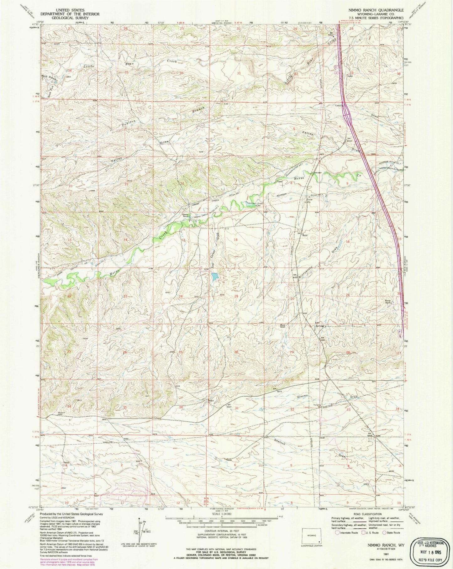
Classic USGS Nimmo Ranch Wyoming 7.5'x7.5' Topo Map
Couldn't load pickup availability
Historical USGS topographic quad map of Nimmo Ranch in the state of Wyoming. Map scale may vary for some years, but is generally around 1:24,000. Print size is approximately 24" x 27"
This quadrangle is in the following counties: Laramie.
The map contains contour lines, roads, rivers, towns, and lakes. Printed on high-quality waterproof paper with UV fade-resistant inks, and shipped rolled.
Contains the following named places: Adamson Ditch Number 1, Adamson Ditch Number 2, Adamson Ditch Number 3, Brunyansky Draw, Homes Ranch, Horse Creek Ditch Number 1, Horse Creek Ditch Number 2, Kelley Draw, Lost Corner Creek, Moyer Ranch, Nimmo Ranch, North Branch Little Bear Creek, Paulson Branch, Snow Cattle Co Ditch Number 4, South Fork Little Bear Creek