MyTopo
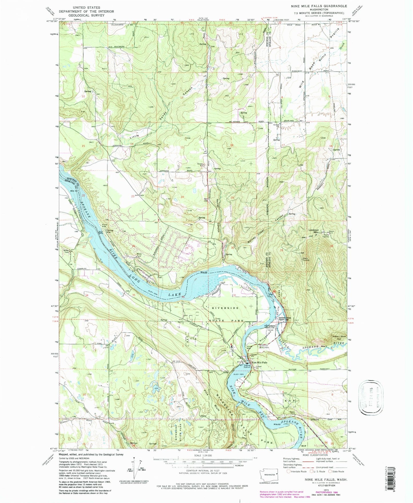
Classic USGS Nine Mile Falls Washington 7.5'x7.5' Topo Map
Couldn't load pickup availability
Historical USGS topographic quad map of Nine Mile Falls in the state of Washington. Typical map scale is 1:24,000, but may vary for certain years, if available. Print size: 24" x 27"
This quadrangle is in the following counties: Spokane, Stevens.
The map contains contour lines, roads, rivers, towns, and lakes. Printed on high-quality waterproof paper with UV fade-resistant inks, and shipped rolled.
Contains the following named places: Aubrey L White Park, Barney Coker Canyon, Coulee Creek, Deep Creek, Fort Spokane Historic Site, Little Sandy Canyon, Nine Mile Falls, Nine Mile Reservoir, Pine Bluff, Sandy Canyon, Little Spokane River Park, Indian Rock Paintings State Park, Spokane House Historic Site, Nine Mile Falls, Lookout Mountain, Nine Mile Falls Elementary School, Lakeside High School, Lake Spokane Elementary School, Little Spokane River, Nine Mile Dam, Indian Rock Paintings, Stevens County Fire District 1 Station 8 - Suncrest, Spokane County Fire District 9 Station 97, Spokane County Fire District 9 Station 93, Nine Mile Falls Post Office, Suncrest, Suncrest Census Designated Place