MyTopo
Classic USGS Ninemile Canyon California 7.5'x7.5' Topo Map
Regular price
$16.95
Regular price
Sale price
$16.95
Unit price
per
Couldn't load pickup availability
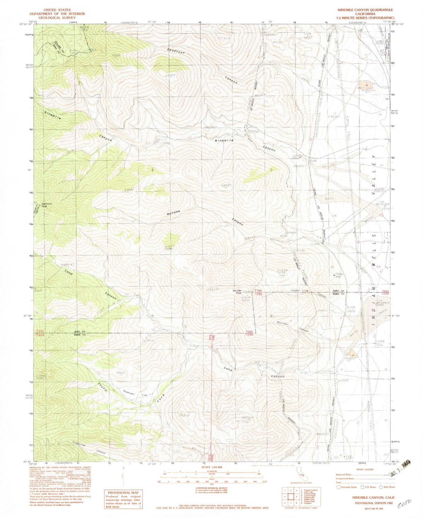
Historical USGS topographic quad map of Ninemile Canyon in the state of California. Map scale may vary for some years, but is generally around 1:24,000. Print size is approximately 24" x 27"
This quadrangle is in the following counties: Inyo, Kern, Tulare.
The map contains contour lines, roads, rivers, towns, and lakes. Printed on high-quality waterproof paper with UV fade-resistant inks, and shipped rolled.
Contains the following named places: Boulder Canyon, Boulder Peak, County Line Canyon, Deadfoot Canyon, Fivemile Canyon, Ninemile Canyon, Noname Canyon, Pearsonville Census Designated Place, Rodecker Flat, Sand Canyon, Sawtooth Peak, South Fork Sand Canyon