MyTopo
Classic USGS Ninepin Branch Maryland 7.5'x7.5' Topo Map
Couldn't load pickup availability
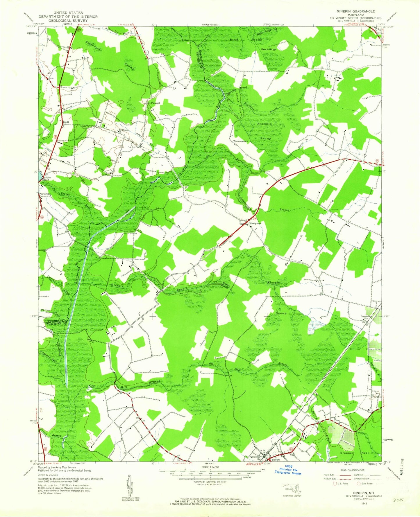
Historical USGS topographic quad map of Ninepin Branch in the state of Maryland. Map scale may vary for some years, but is generally around 1:24,000. Print size is approximately 24" x 27"
This quadrangle is in the following counties: Wicomico, Worcester.
The map contains contour lines, roads, rivers, towns, and lakes. Printed on high-quality waterproof paper with UV fade-resistant inks, and shipped rolled.
Contains the following named places: Adkins Pond, Adkins Race, Asherwood Swamp, Bay Club Golf Course, Bay Harbour, Beech Ridge, Beech Swamp, Berlin West, Big Woods, Bowens Branch, Calvary Church, Deer Run Golf Club, Duncan Ditch, Franklin Branch, Franklin Swamp, Gumbridge Branch, Ironshire Station, Jobes Ditch, Libertytown, Libertytown Branch, Libertytown Riverside Cemetery, Mount Pleasant, Mount Pleasant Church, Narrow Branch, Narrow Branch Swamp, Newark, Newark Census Designated Place, Newark Post Office, Ninepin Branch, Ninepin Swamp, Old Mill Branch, Powell Branch, Powellville Census Designated Place, Powellville Fire Department Station 11, Powellvilles Dam, Queponco Station, Steves Island, Tilghman Race, Timmonstown, Timmonstown Branch, Timmonstown Cemetery, Townsend Cemetery, Trinity Gardens Cemetery, Trinity United Methodist Church, Truitt, Whaleyville Branch, Whiton Ditch, Williams Church


