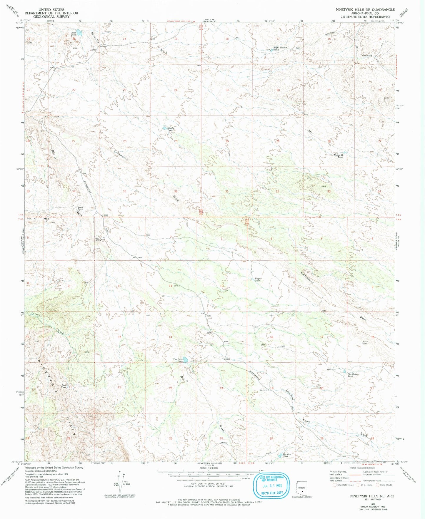
MyTopo
Classic USGS Ninetysix Hills NE Arizona 7.5'x7.5' Topo Map
Regular price
$16.95
Regular price
Sale price
$16.95
Unit price
per
Couldn't load pickup availability
Historical USGS topographic quad map of Ninetysix Hills NE in the state of Arizona. Map scale may vary for some years, but is generally around 1:24,000. Print size is approximately 24" x 27"
This quadrangle is in the following counties: Pinal.
The map contains contour lines, roads, rivers, towns, and lakes. Printed on high-quality waterproof paper with UV fade-resistant inks, and shipped rolled.
Contains the following named places: Beehive Tank, Box O Ranch, Casa Grande Turbine Station, Cottonwood Wash, D Bar H Tank, Eight Section Tank, Hackberry Tank, Helmwheel Ranch, Horse Ranch, Lambing Camp Wash, Middle Tank, Ninetysix Hills, Rock Tank, The Lake Tank, Upper Tank