MyTopo
Classic USGS Ninetysix Hills NW Arizona 7.5'x7.5' Topo Map
Regular price
$16.95
Regular price
Sale price
$16.95
Unit price
per
Couldn't load pickup availability
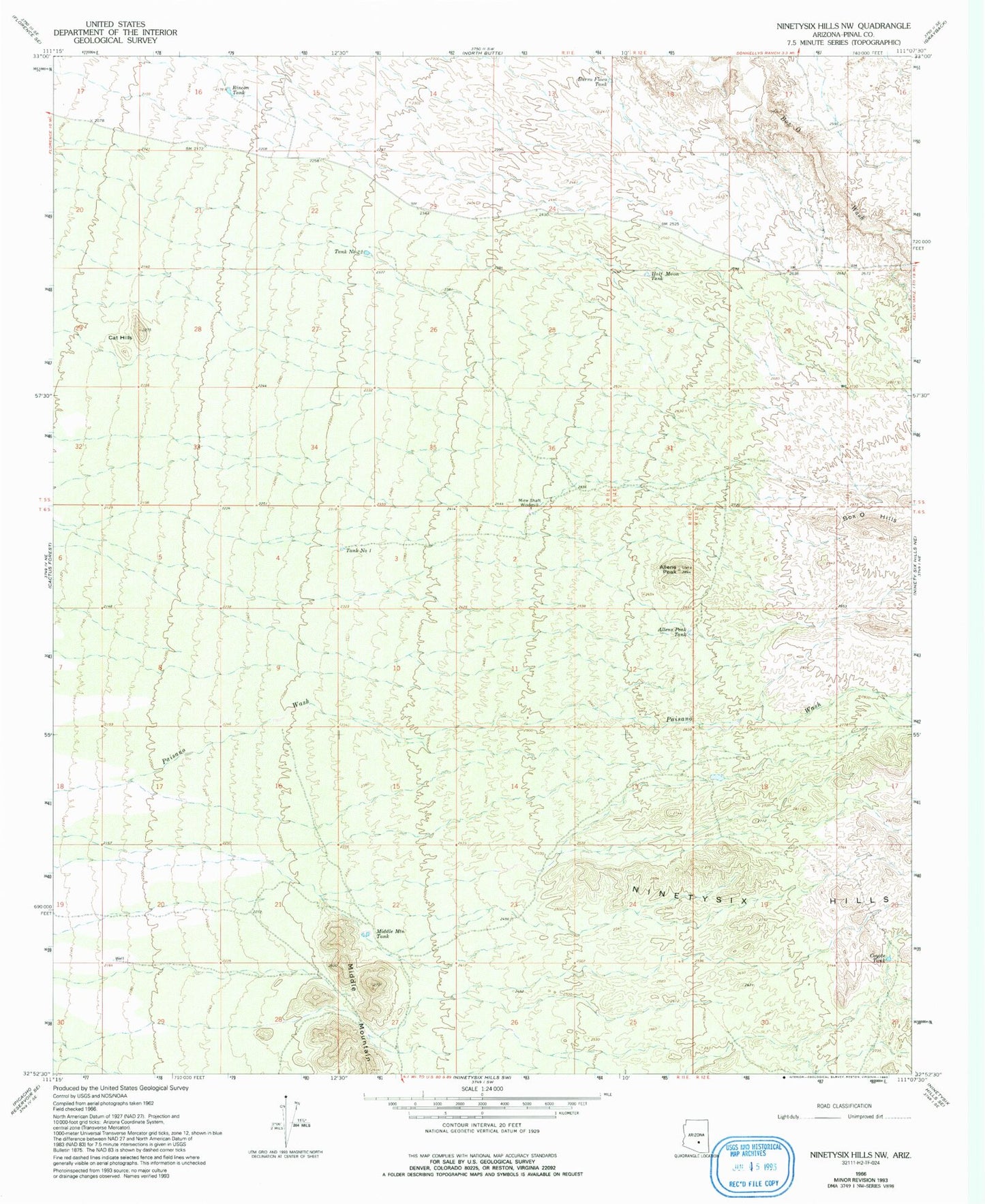
Historical USGS topographic quad map of Ninetysix Hills NW in the state of Arizona. Map scale may vary for some years, but is generally around 1:24,000. Print size is approximately 24" x 27"
This quadrangle is in the following counties: Pinal.
The map contains contour lines, roads, rivers, towns, and lakes. Printed on high-quality waterproof paper with UV fade-resistant inks, and shipped rolled.
Contains the following named places: Allens Peak, Allens Peak Tank, Box O Hills, Burro Flaco Tank, Cat Hills, Coyote Tank, Half Moon Tank, Middle Mountain, Middle Mountain Tank, Mine Shaft Windmill, Rincon Tank, Tank Number One, Tank Number Twentytwo, ZIP Code: 85132