MyTopo
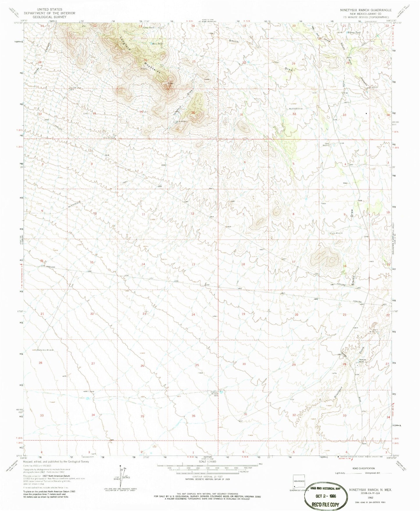
Classic USGS Ninetysix Ranch New Mexico 7.5'x7.5' Topo Map
Couldn't load pickup availability
Historical USGS topographic quad map of Ninetysix Ranch in the state of New Mexico. Map scale may vary for some years, but is generally around 1:24,000. Print size is approximately 24" x 27"
This quadrangle is in the following counties: Grant.
The map contains contour lines, roads, rivers, towns, and lakes. Printed on high-quality waterproof paper with UV fade-resistant inks, and shipped rolled.
Contains the following named places: 10180 Water Well, 10181 Water Well, 10182 Water Well, Buena Vista Windmill, Bull Windmill, Dons Tank, Glaze Tank, Glaze Windmill, Hideout Windmill, Langford Draw, Langford Mountains, Little Tank, Lucky Windmill, New Well Canyon, Ninetysix Ranch, Pendleton Windmill, Rincon Tank, Smith Draw, Smith Windmill, Snaky Windmill, South Windmill