MyTopo
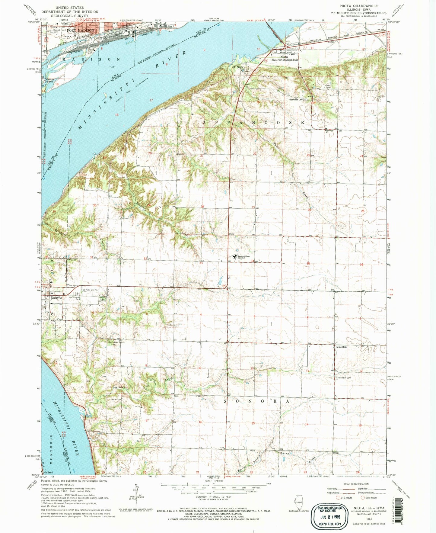
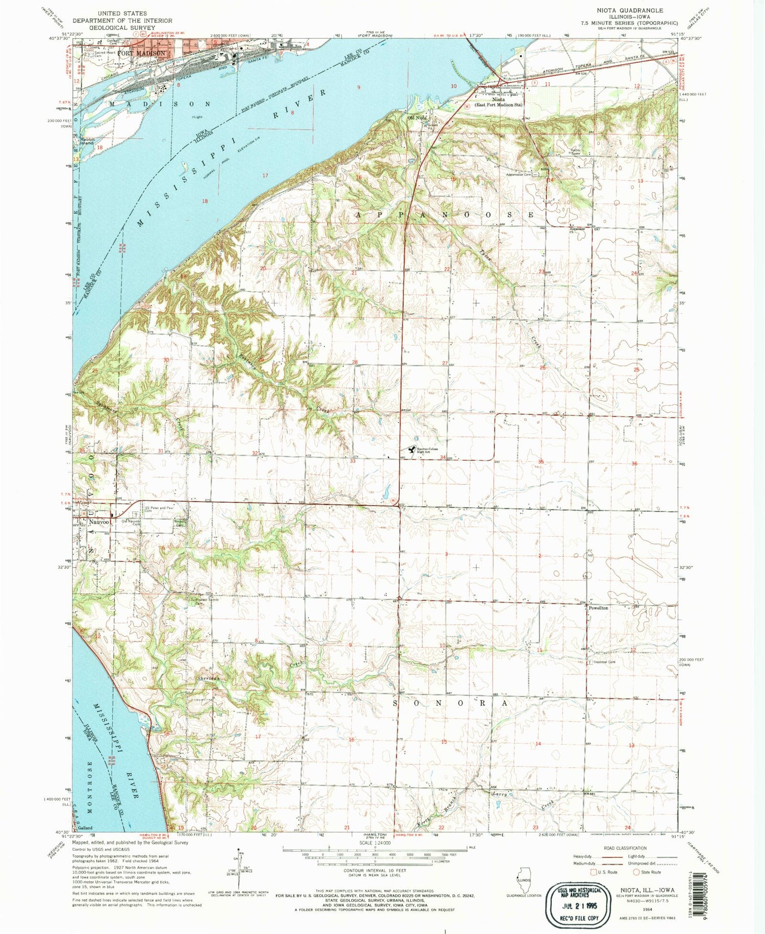
Classic USGS Niota Illinois 7.5'x7.5' Topo Map
Couldn't load pickup availability
Historical USGS topographic quad map of Niota in the states of Illinois, Iowa. Map scale may vary for some years, but is generally around 1:24,000. Print size is approximately 24" x 27"
This quadrangle is in the following counties: Hancock, Lee.
The map contains contour lines, roads, rivers, towns, and lakes. Printed on high-quality waterproof paper with UV fade-resistant inks, and shipped rolled.
Contains the following named places: Appanoose Cemetery, Appanoose Church, Appanoose Post Office, Baxters Vineyard, Cedar Ridge Airport, Center School, Christy School, City of Fort Madison, Columbia School, Crescent School, Dry Creek, Elliott School, Fort Madison Health Center, Frenchtown School, Galland, Galland Post Office, Lodi Shopping Center, Maple Grove School, Mound School, Nashville Post Office, Nauvoo Cemetery, Nauvoo Fire Protection District, Nauvoo-Colusa Senior High School, Nauvoo's Old Cemetery, Niota, Niota Census Designated Place, Niota Fire Department, Niota Post Office, Old Nauvoo Burial Grounds, Old Niota, Pleasant Hill School, Powellton, Robinson Creek, Sacred Heart Cemetery, Saints Peter and Paul Cemetery, Sheridan Creek, Sinele Strip, Sineles Sunset Strip, Thornber Cemetery, Township of Appanoose, Township of Sonora, Tyson Creek, Winchester Airport, ZIP Codes: 62354, 62358


