MyTopo
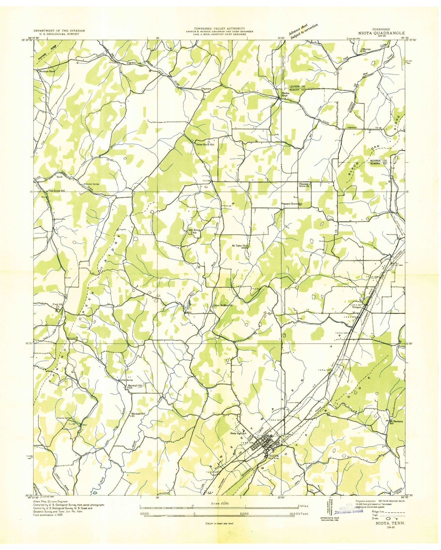
Classic USGS Niota Tennessee 7.5'x7.5' Topo Map
Couldn't load pickup availability
Historical USGS topographic quad map of Niota in the state of Tennessee. Map scale may vary for some years, but is generally around 1:24,000. Print size is approximately 24" x 27"
This quadrangle is in the following counties: Loudon, McMinn, Monroe.
The map contains contour lines, roads, rivers, towns, and lakes. Printed on high-quality waterproof paper with UV fade-resistant inks, and shipped rolled.
Contains the following named places: Acme Mill, Anderson Mine, Arnwine Spring, Barton Mill, Beulah Chapel, Beulah Chapel Cemetery, C A Waymier Dam, C A Waymier Lake, Cate Cemetery, Chapman Cemetery, City of Niota, Cocker Spring, Commissioner District 2, Cub Haven Airport, Denton Spring, Dupont Mine, East Fork North Mouse Creek, East Niota Baptist Church, First Baptist Church of Niota, Foster Branch, Foster Cemetery, Garrison Mine, Glaze Cemetery, Gregory Chapel, Holt Mine, Jones Mine, Kyker Mine, Lane Cemetery, Lane Town School, Lanetown Church, Lathan Spring, Lathan Spring Branch, Malone Spring, Marshall Hill, Marshall Hill Church, Matlock Cemetery, McManus Mine, McMinn County District 9 Union Grove Rural Fire Department, Moore Cemetery, Mount Harmony, Mount Tabor Church, Murray Church, Murray Spring, Murray Store, Neil Cemetery, Niota, Niota Cemetery, Niota City Hall, Niota Elementary School, Niota Police Department, Niota Post Office, Niota Public Library, Niota Ridge, Niota United Methodist Church, Niota Volunteer Fire Department, Oak Grove Cemetery, Oak Grove Church, Oak Grove School, Pine Grove, Pine Grove Church, Pine Grove School, Piney Church, Pleasant Grove Church, Pleasant Grove School, Pond Hill, Pond Hill Baptist Church, Pond Hill Cemetery, Pond Hill Church, Pond Hill School, Prigmore, Reagan, Richardson Mine, Richardson Spring, Richesin Mine, Riddles Store, Rockview Church, Shearman Cemetery, Small Cemetery, Small Mine, Springbrook Golf and Country Club, Sweetwater Creek Project Lake, Sweetwater Creek Watershed Dam Number Sixteen, Sweetwater Creek Watershed Number Sixteen Reservoir, Taylor Cemetery, Union Grove, Union Grove Baptist Church, Union Grove School, Union McMinn Baptist Church Cemetery, Union McMinn Church, Wattenberger Mine, Webb Mine, West Wind Airpark, ZIP Code: 37826


