MyTopo
Classic USGS Nipomo California 7.5'x7.5' Topo Map
Couldn't load pickup availability
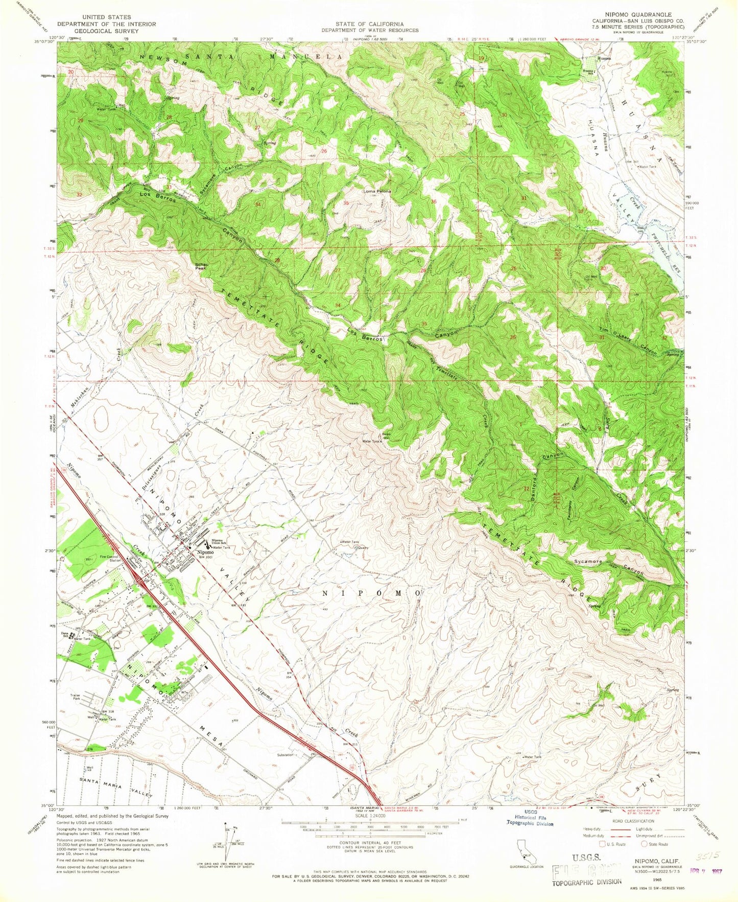
Historical USGS topographic quad map of Nipomo in the state of California. Map scale may vary for some years, but is generally around 1:24,000. Print size is approximately 24" x 27"
This quadrangle is in the following counties: San Luis Obispo.
The map contains contour lines, roads, rivers, towns, and lakes. Printed on high-quality waterproof paper with UV fade-resistant inks, and shipped rolled.
Contains the following named places: Arroyo Grande Division, Brassica Wholesale Nursery, CAL FIRE San Luis Obispo County Fire Department Nipomo Station 20, Church of Christ, Dana Adobe, Dana Elementary School, Danford Canyon, Deleissigues Creek, Fantasy Farm, Fauntleroy Canyon, First Baptist Church of Nipomo, Highland Preparatory School, Huasna, Huasna School, Jesus Saves Full Gospel Tabernacle Church, Kingdom Hall of Jehovahs Witnesses, Lemon Creek Ranch, Lighthouse Christian Center, Loma Bonita Ranch, Loma Pelona, Loma Pelona School, New Harvest Community Foursquare Church, Newsom Ridge, Nipomo, Nipomo Branch San Luis Obispo City-County Library, Nipomo Census Designated Place, Nipomo Community Center, Nipomo Community Medical Center, Nipomo Elementary School, Nipomo High School, Nipomo Old Town Nursery, Nipomo Post Office, Nipomo Regional Park, Nipomo Senior Center, Nipomo Shepherd of Hope Church, Nipomo Township, O K Avocado Ranch, Ross-Kellar Winery, Santa Maria Speedway, Schau Peak, Solid Rock Ranch, Suey Creek School, Sycamore Canyon, Temettate Creek, Temettate Ridge, Yo En Dios Dios En Mi Church


