MyTopo
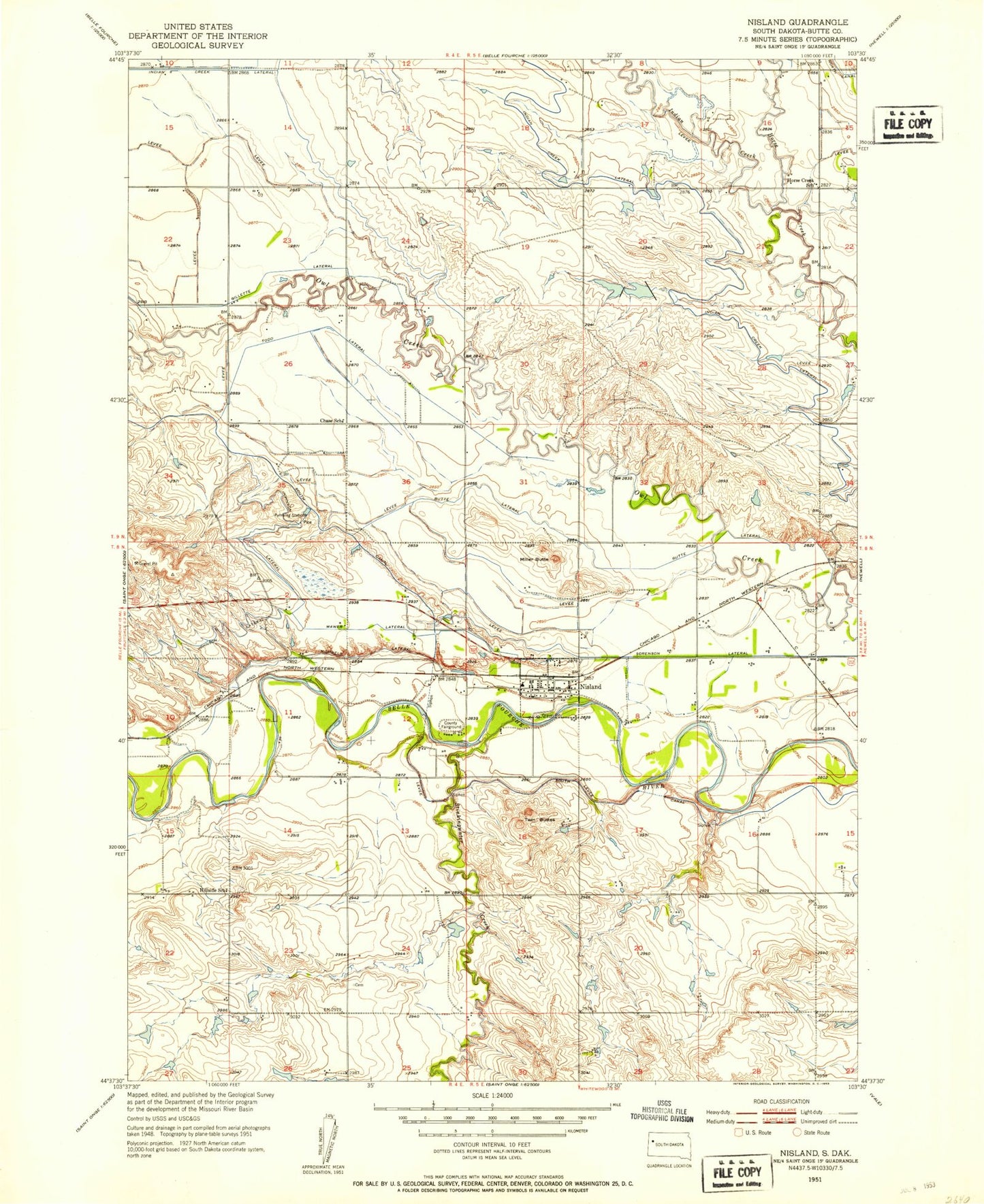
Classic USGS Nisland South Dakota 7.5'x7.5' Topo Map
Couldn't load pickup availability
Historical USGS topographic quad map of Nisland in the state of South Dakota. Map scale may vary for some years, but is generally around 1:24,000. Print size is approximately 24" x 27"
This quadrangle is in the following counties: Butte.
The map contains contour lines, roads, rivers, towns, and lakes. Printed on high-quality waterproof paper with UV fade-resistant inks, and shipped rolled.
Contains the following named places: Butte Lateral, Chase School, Gillette Lateral, Hillside School, Horse Creek School, Indian Creek, Korwelt Lateral, Mawer Lateral, Miller Butte, Nisland, Nisland Cemetery, Nisland City Hall, Nisland Post Office, Nisland Volunteer Fire Department, Sorenson Lateral, Stinkingwater Creek, Town of Nisland, Twin Buttes