MyTopo
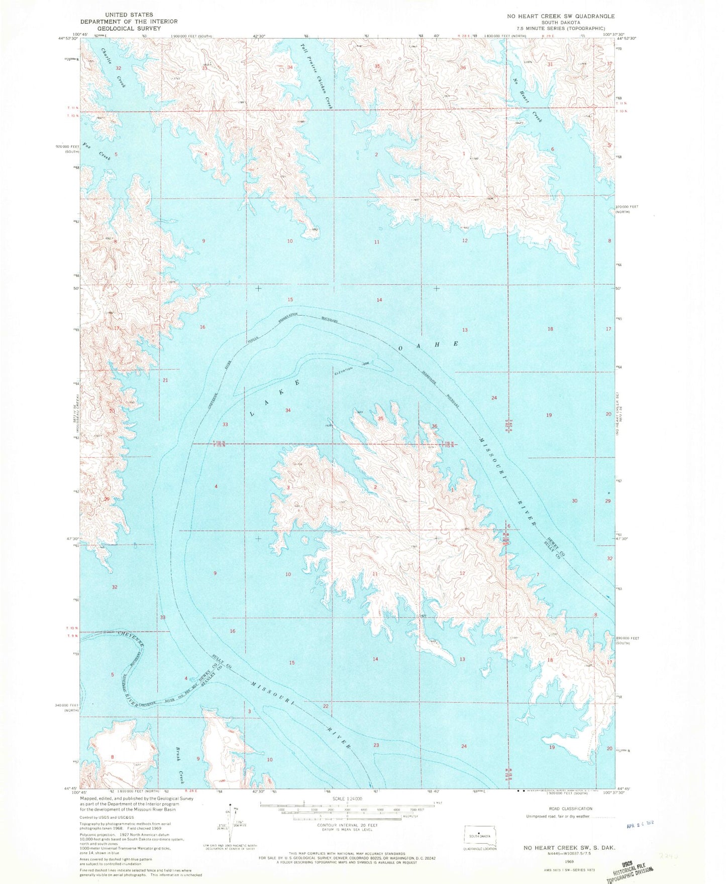
Classic USGS No Heart Creek SW South Dakota 7.5'x7.5' Topo Map
Regular price
$16.95
Regular price
Sale price
$16.95
Unit price
per
Couldn't load pickup availability
Historical USGS topographic quad map of No Heart Creek SW in the state of South Dakota. Map scale may vary for some years, but is generally around 1:24,000. Print size is approximately 24" x 27"
This quadrangle is in the following counties: Dewey, Stanley, Sully.
The map contains contour lines, roads, rivers, towns, and lakes. Printed on high-quality waterproof paper with UV fade-resistant inks, and shipped rolled.
Contains the following named places: Angel Bottom, Brush Creek, Charlie Creek, Fox Creek, Little Bend, Little Bend Post Office, Little Bend Recreational Area, No Heart Creek, Tall Prairie Chicken Creek, Township of Little Bend