MyTopo
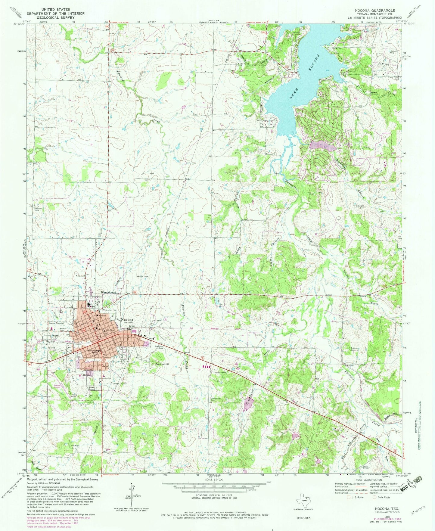
Classic USGS Nocona Texas 7.5'x7.5' Topo Map
Couldn't load pickup availability
Historical USGS topographic quad map of Nocona in the state of Texas. Map scale may vary for some years, but is generally around 1:24,000. Print size is approximately 24" x 27"
This quadrangle is in the following counties: Montague.
The map contains contour lines, roads, rivers, towns, and lakes. Printed on high-quality waterproof paper with UV fade-resistant inks, and shipped rolled.
Contains the following named places: American Legion Park, Barefoot Branch, Benton Cemetery, Benton Hill, Blue Mound, Church of Christ, Church of the Nazarene, City of Nocona, Deep Draw, Devils Gulch, Dripping Springs Creek, Eagle Point Cemetery, First Baptist Church, Greenbrier Cemetery, Greenbrier Creek, Jones Hollow, Keck Cemetery, Lake Nocona, Leisure Lake, Leisure Lake Dam, Molsbee Cemetery, Nocona, Nocona Airport, Nocona City Hall, Nocona Elementary School, Nocona General Hospital, Nocona High School, Nocona Hills, Nocona Hills Census Designated Place, Nocona Hills Volunteer Fire Department and Emergency Medical Service, Nocona Middle School, Nocona Police Department, Nocona Post Office, Nocona Volunteer Fire Department, Polecat Creek, Redbud Creek, Robinson Cemetery, Saint Josephs Catholic Church, Shady Grove Cemetery, Simmons Cemetery, Snake Hill, Soil Conservation Service Debris Basin 122, Soil Conservation Service Debris Basin 122 Dam, Soil Conservation Service Site 9 Dam, Soil Conservation Service Site 9 Reservoir, South Ward School, West Farmers Creek, ZIP Code: 76255


