MyTopo
Classic USGS Noel Missouri 7.5'x7.5' Topo Map
Couldn't load pickup availability
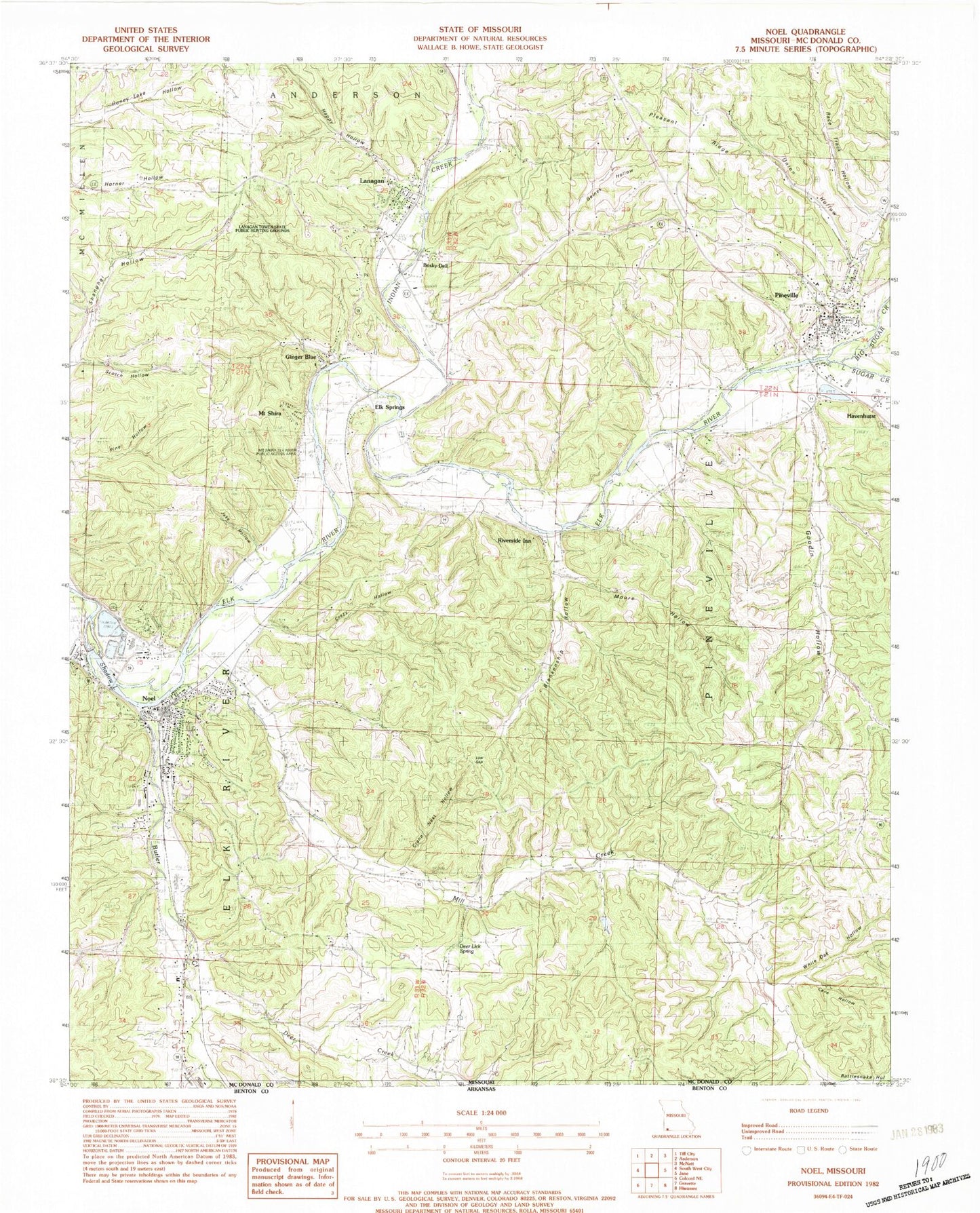
Historical USGS topographic quad map of Noel in the state of Missouri. Typical map scale is 1:24,000, but may vary for certain years, if available. Print size: 24" x 27"
This quadrangle is in the following counties: McDonald.
The map contains contour lines, roads, rivers, towns, and lakes. Printed on high-quality waterproof paper with UV fade-resistant inks, and shipped rolled.
Contains the following named places: Mill Creek, Little Sugar Creek, Blankenship Hollow, Bosky Dell, Butler Creek, Carnes Hollow, Cave Hollow, Crane Nest Hollow, Crazy Hollow, Deer Creek, Deer Lick Spring, Dog Hollow, Ginger Blue, Goodin Hollow, Happy Hollow, Indian Creek, Jake Hollow, Low Gap, Mill Creek Church, Morre Hollow, Mount Shira, Noel, Pleasant Ridge, Riverside Inn, Scotch Hollow, Shadow Lake, Union Hollow, White Oak Hollow, Yarnell Branch, Elk Springs, Lanagan, Pineville, Race Track Hollow, Armstrong Quarry, Quarry Track (historical), Poole Ford, Mount Shira Elk River Public Access Area, Lanagan Tower State Public Hunting Grounds, Noel Elementary School, Pineville Elementary School, Big Sugar Creek, Spring Valley, Township of Elk River East, Township of Pineville Lanagan, City of Noel, City of Pineville, Town of Lanagan, Village of Ginger Blue, Pineville Volunteer Fire Department, Noel Fire Department, Lanagan Volunteer Fire Department, Pineville Primary School, Mc Donald County Sheriff's Office, Noel Police Department, Pineville Marshal's Office, Pineville Post Office, Lanagan Post Office, Noel Post Office


