MyTopo
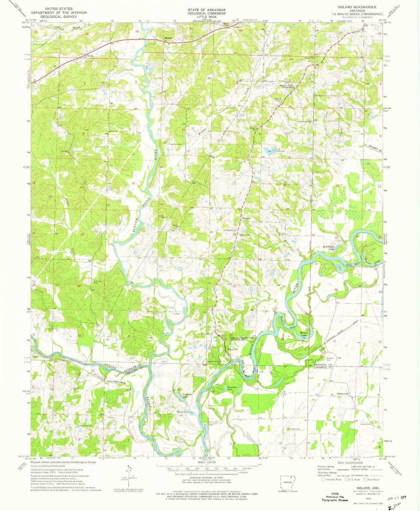
Classic USGS Noland Arkansas 7.5'x7.5' Topo Map
Couldn't load pickup availability
Historical USGS topographic quad map of Noland in the state of Arkansas. Map scale may vary for some years, but is generally around 1:24,000. Print size is approximately 24" x 27"
This quadrangle is in the following counties: Lawrence, Randolph.
The map contains contour lines, roads, rivers, towns, and lakes. Printed on high-quality waterproof paper with UV fade-resistant inks, and shipped rolled.
Contains the following named places: Allison Fish Lake Dam, Allison Lake, Apostolic Faith Campground, Bibb Farms, Bibb Fish Pond, Bibb Fish Pond Dam, Birdell, Birdell Church, Birdell Church of Christ, Birdell School, Brown Lake, Bull Pizzle Lake, Cedar Creek, Chesser Cemetery, Cox Ferry, Crooked Lake, Davidsonville, Deadman Bend, Dunn, Dunn Cemetery, Eleven Point River, Fairview Cemetery, Fairview School, Harmony Cemetery, Hole in the Wall Bend, Horseshoe Lake, Hubble Creek, Hubble Creek Church, Hubble Creek School, Huffstedler Cemetery, Jenkins Cemetery, Julia Dean Creek, Kilo-Vista Lake, Kilo-Vista Lake Dam, Lemmon Cemetery, Lemmons Lake, Lemmons Lake Dam, Lester Cemetery, Living Farm Museum, Mount Vernon Church, Mount Vernon School, New Bethel Freewill Baptist Church, Noland, Noland Church of Christ, Noland School, Old Davidsonville State Park, Pleasant Hill Church, Pleasant Hill School, Ragan School, Reeves Cemetery, Richwoods, Round Lake, Round Pond, Sanders Cemetery, Scott Cemetery, Scotts Bend, Scotts Ferry, Straight Lake, Throop Cemetery, Township of Butler, Township of East Roanoke, Township of Richwoods, Township of Roanoke, Township of West Roanoke, Wilson Lake


