MyTopo
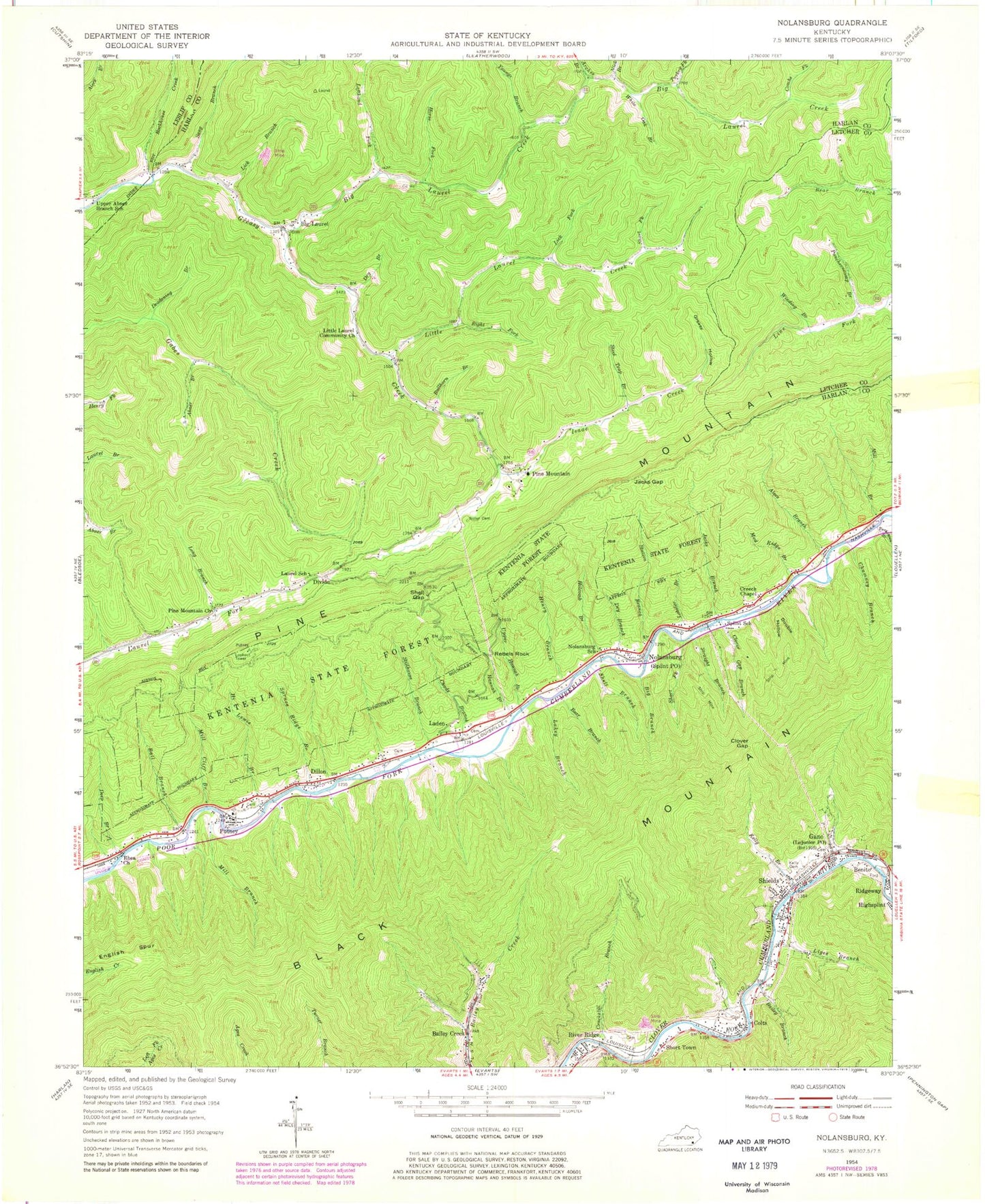
Classic USGS Nolansburg Kentucky 7.5'x7.5' Topo Map
Couldn't load pickup availability
Historical USGS topographic quad map of Nolansburg in the state of Kentucky. Map scale may vary for some years, but is generally around 1:24,000. Print size is approximately 24" x 27"
This quadrangle is in the following counties: Harlan, Leslie, Letcher.
The map contains contour lines, roads, rivers, towns, and lakes. Printed on high-quality waterproof paper with UV fade-resistant inks, and shipped rolled.
Contains the following named places: Abner Branch, Alecs Branch, Arches Branch, Arthur, Backbone Rock Gap, Bailey Branch, Bailey Creek, Ball Branch, Bear Branch, Benito, Benito Post Office, Benito Railroad Station, Beschman Lookout Tower, Big Branch, Big Laurel, Big Laurel Creek, Big Laurel Post Office, Bledsoe Volunteer Fire Department Station 2, Bullhorn Branch, Cedar Chapel School, Chads Branch, Chumney Branch, Clover Gap, Clover Gap Branch, Colts, Combs Fork, Cote Bottom, Cote Railroad Station, Crackstill Branch, Creech Chapel, Deadening Branch, Deep Branch, Dillon, Dillon Post Office, Dillon Railroad Station, Divide, Double Hollow, Dry Branch, English Spur, Galindo Railroad Station, Gano, Gano Coal Camp, Gano Railroad Station, Greasy Hollow, Harlan Airport, Henry Branch, Hi Lewis Branch, Holcomb Branch, Horse Fork, Huff Branch, Isaac Creek, Jacks Branch, Jacks Gap, Jacks Gap Rock, Jane Post Office, Jonesburg Post Office, Kellioka Post Office, Kellioka Railroad Station, Kelly Branch, Kelly Branch Clover Fork, Kelly Cemetery, Kentenia State Forest, Laden, Laden Post Office, Laden Railroad Station, Lakey Branch, Laurel School, Left Fork Bailey Creek, Lefthand Fork, Lejunior Post Office, Lewis Post Office, Lick Branch, Lick Fork, Liges Branch, Little Laurel Community Church, Little Laurel Creek, Lobster Branch, Long Branch, Lower Hannah Branch, Lupton Railroad Station, Mill Branch, Mill Cliff Branch, Mud Ridge Branch, Nick Branch, Nolan Cemetery, Nolansburg, Nolansburg School, Petain Railroad Station, Pine Mountain, Pine Mountain Church, Pine Mountain Post Office, Pine Mountain Settlement School, Poor Fork Division, Powell Branch, Prestridge Railroad Station, Puncheoncamp Branch, Putney, Putney Census Designated Place, Putney Fire Department, Putney Post Office, Putney Railroad Station, Rebels Rock, Rhea Church, Ridgeway, Right Fork Little Laurel Creek, Risely Railroad Station, River Ridge, Rockhouse Creek, Sandvale Post Office, Sang Branch, Shell Branch, Shell Gap, Shields, Shields Census Designated Place, Shields Elementary School, Shields Railroad Station, Short Fork, Short Town, Short Town Post Office, Splint Post Office, Splint Railroad Station, Splint School, Springton Railroad Station, Spruce Ridge Branch, Station Branch, Steel Trap Branch, Stillhouse Branch, Straight Branch, Townsend Railroad Station, Turkey Fork, Turkeypen Branch, Upper Abner Branch School, Upper Hannah Branch, White Oak Branch, Wilson Branch, Winding Branch, Youngs Branch, ZIP Codes: 40808, 40849, 40865, 40870