MyTopo
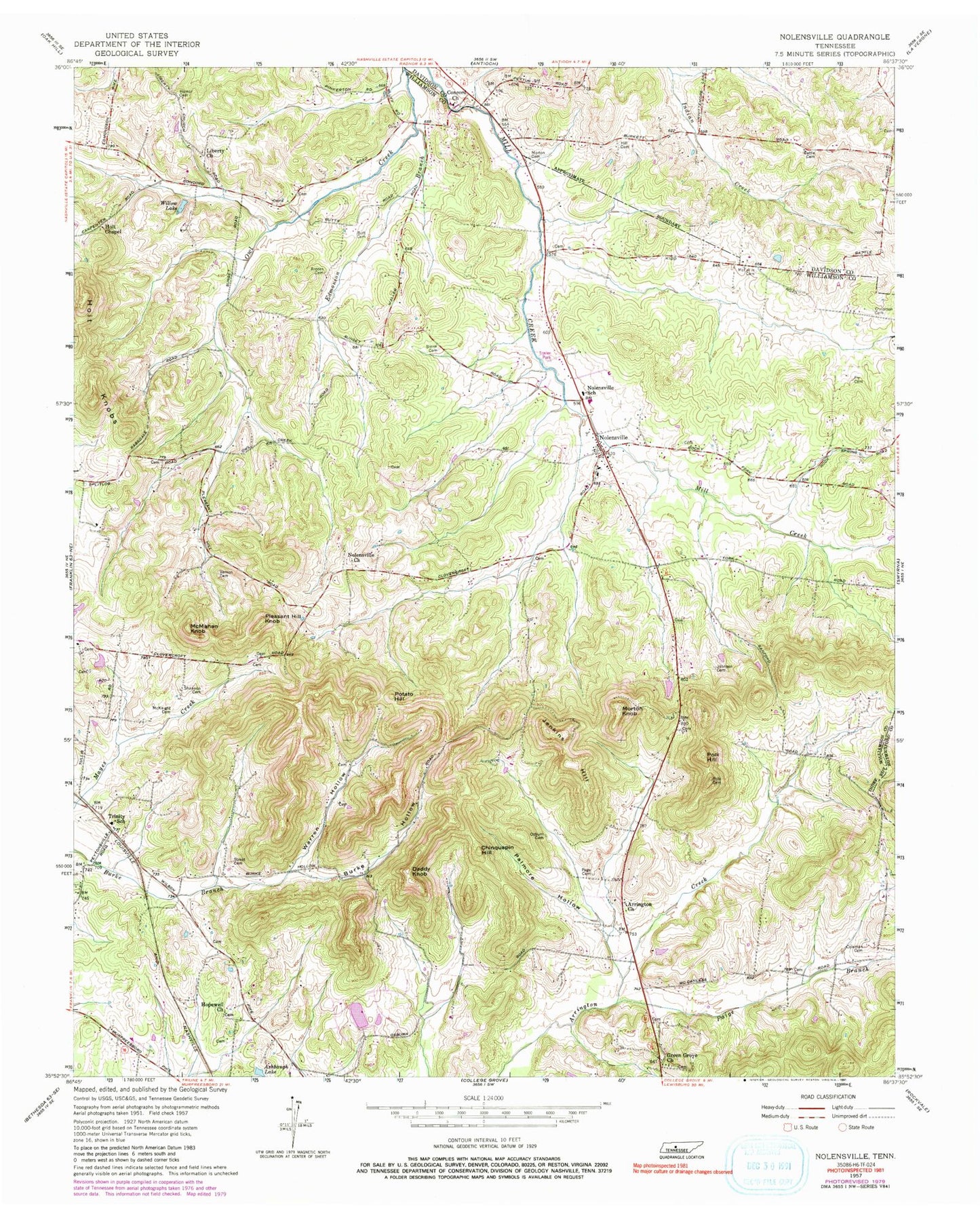
Classic USGS Nolensville Tennessee 7.5'x7.5' Topo Map
Couldn't load pickup availability
Historical USGS topographic quad map of Nolensville in the state of Tennessee. Typical map scale is 1:24,000, but may vary for certain years, if available. Print size: 24" x 27"
This quadrangle is in the following counties: Davidson, Rutherford, Williamson.
The map contains contour lines, roads, rivers, towns, and lakes. Printed on high-quality waterproof paper with UV fade-resistant inks, and shipped rolled.
Contains the following named places: Smith Cemetery, Street Cemetery, Vernon Cemetery, Warren Hollow, Willow Lake, Arrington Church, Ashbaugh Lake, Battle Cemetery, Hailey - Rash Cemetery, Burke Hollow, Butt Cemetery, Chinquapin Hill, Chrisman Cemetery, Coleman Cemetery, Concord Church, Daddy Knob, Edmondson Branch, Fly Cemetery, Green Grove Church, Hamor Cemetery, Hill Cemetery, Holt Chapel, Holt Knobs, Hopewell Church, Jenkins Hill, Johnson Cemetery, Liberty Church, McFarlin Cemetery, McKnight Cemetery, McMahan Knob, Morton Cemetery, Morton Knob, Nolensville, Nolensville Church, Ozburn Cemetery, Page Cemetery, Paige Branch, Palmore Hollow, Pleasant Hill Knob, Polk Hill, Potato Hill, Shannon Cemetery, Lake Colonial Estates, Lake Colonial Estates Dam, Concord Forest, Hickory Hills, Lake Colonial Estates, Molly Hollow, Owl Creek, Stonebrook, Sunset Acres, Hooker Hills, Holt Mine, Matthews Cemetery, McCanless Cemetery, McCanless Cemetery, Nolensville Cemetery, Pleasant Hill Plantation (historical), Redmon Quarry, Chrisman Cemetery, Gray Cemetery, Trinity Elementary School, Nolensville Elementary School, Nolensville Division (historical), Nolensville Post Office, Town of Nolensville, Commissioner District 5, Nolensville Volunteer Fire Department, Brentwood Fire Department Station 4, Canaan Farms, Nolensville Police Department


