MyTopo
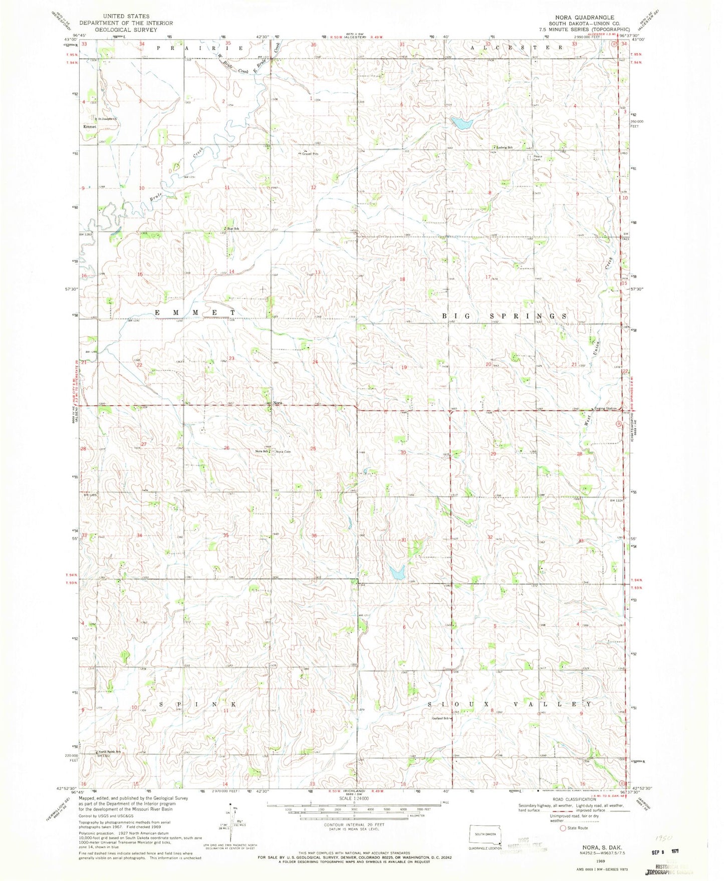
Classic USGS Nora South Dakota 7.5'x7.5' Topo Map
Couldn't load pickup availability
Historical USGS topographic quad map of Nora in the state of South Dakota. Map scale may vary for some years, but is generally around 1:24,000. Print size is approximately 24" x 27"
This quadrangle is in the following counties: Union.
The map contains contour lines, roads, rivers, towns, and lakes. Printed on high-quality waterproof paper with UV fade-resistant inks, and shipped rolled.
Contains the following named places: East Brule Creek, Emmet, Garland School, Ludwig School, Nora, Nora Cemetery, Nora Post Office, Nora School, North Spink School, Peace Lutheran Cemetery, Saint Joseph Catholic Cemetery, Saint Josephs Church, School Number 49, School Number 63, Star School, Township of Big Springs, Township of Emmet, West Brule Creek, ZIP Code: 57001