MyTopo
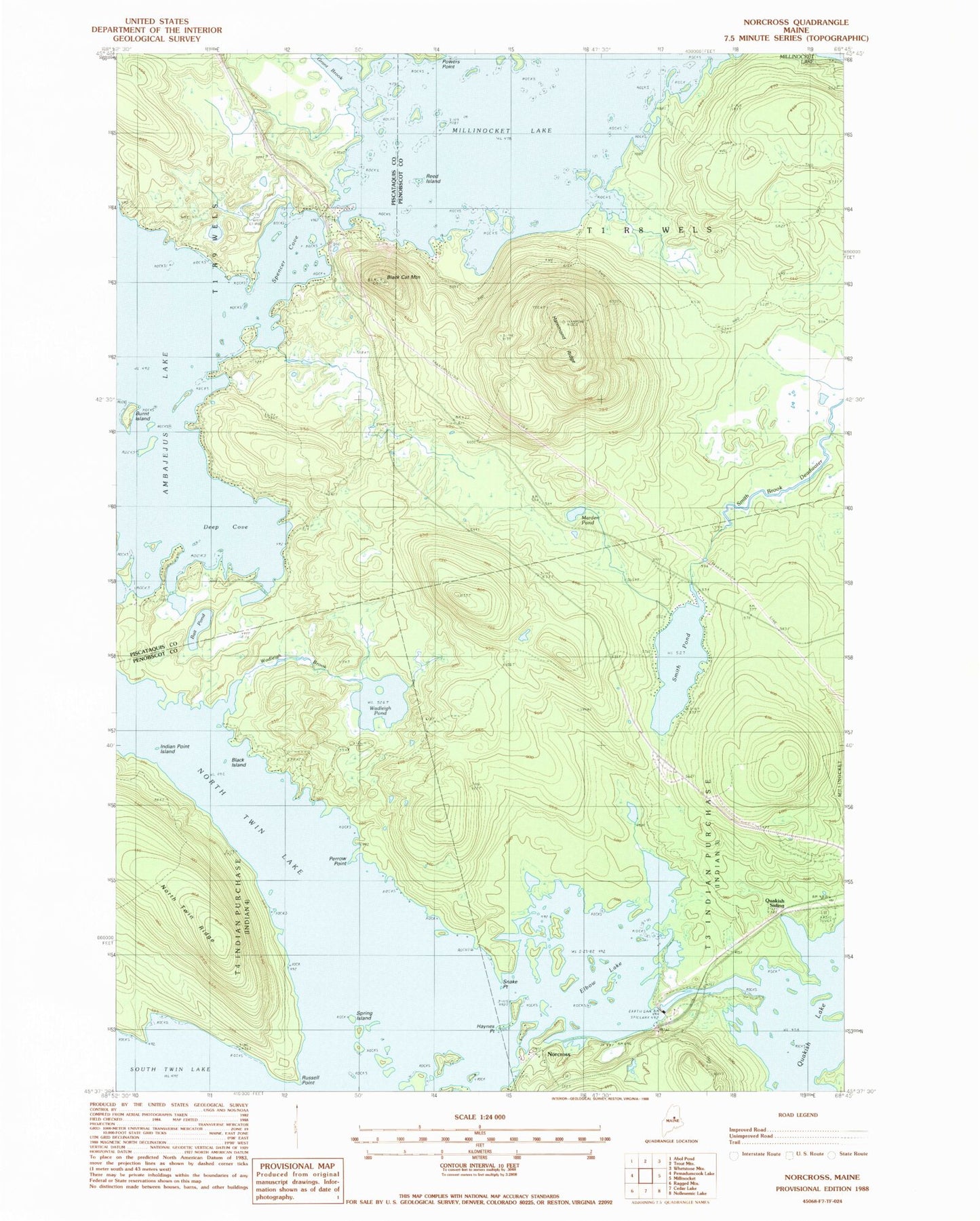
Classic USGS Norcross Maine 7.5'x7.5' Topo Map
Couldn't load pickup availability
Historical USGS topographic quad map of Norcross in the state of Maine. Typical map scale is 1:24,000, but may vary for certain years, if available. Print size: 24" x 27"
This quadrangle is in the following counties: Penobscot, Piscataquis.
The map contains contour lines, roads, rivers, towns, and lakes. Printed on high-quality waterproof paper with UV fade-resistant inks, and shipped rolled.
Contains the following named places: Ambajejus Lake, Bait Pond, Black Cat Mountain, Black Island, Burnt Island, Deep Cove, Elbow Lake, Grant Brook, Hammatt Ridge, Haynes Point, Indian Point Island, Marden Pond, Norcross, North Twin Lake, North Twin Ridge, Perrow Point, Powers Point, Quakish Lake, Quakish Siding, Reed Island, Russell Point, Smith Pond, Snake Point, Spencer Cove, Spring Island, Wadleigh Brook, Wadleigh Pond, Millinocket Seaplane Base, North Twin Dam, Big Moose Campground, T1 R8 WELS, T3 Indian Purchase Township